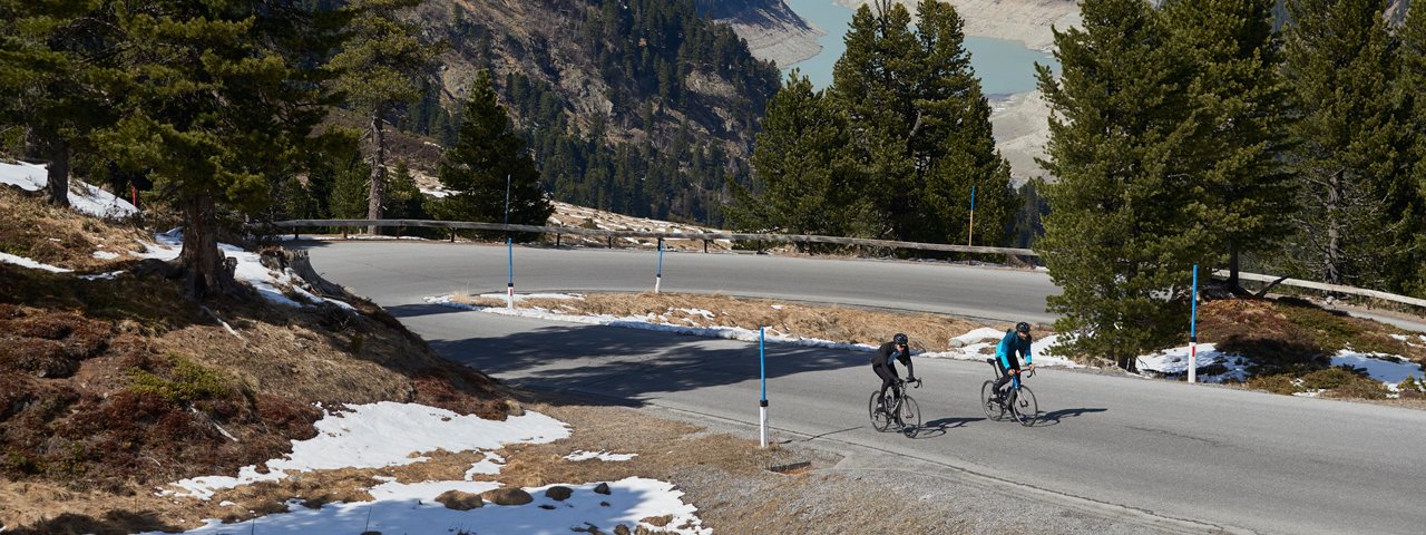
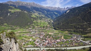
Taking cyclists from the valley floor all the way to the edge of the glacier, the Kaunertal Glacier Road is a real highlight for road bike riders and one of the most spectacular climbs in the Alps. From the village of Prutz it winds its way up 29 corners and 1,900 vertical metres to an altitude of 2,750m metres. It has featured several times in the Tour of Austria and hosts the annual "Kaunertaler Gletscherkaiser" race to determine who is fastest rider from bottom to top.


Roadbike Ride

"A giant of a mountain. It doesn't get any tougher than this. The natural landscape is raw and beautiful. Here, as you fight your way up the 41 kilometres from bottom to top, you can feel the meditative power of roadbike riding."
Starting point
Prutz
Finishing point
Prutz
Mountain chain
Ötztal Alps
Length
77 km
Riding time
4 h 30 min
Features
- Circular route
- Handicap-accessible
- Route with e-bike charging station
Difficulty rating
difficult
Altitude
Elevation uphill 2,260m
Vertical metres downhill 2,260m
Fitness level
Technique
Best time of year
* These are approximate values and recommendations. Please take your personal fitness level, technical ability and the current weather conditions into account. Tirol Werbung cannot guarantee that the information provided is correct and accepts no liability.
Downloads
Trail description
Starting from Prutz, the first 20 kilometres have a relatively low uphill incline. Only just before the Gepatschstausee Reservoir at around 1,800 metres does the gradient increase to around 10% along a few winding turns. Magnificent views of the reservoir with the glacier in the background can be enjoyed from the dam. In order to completely avoid the generally low levels of traffic, you should cross the dam and ride along the side of the lake which is closed to public traffic, before you turn back onto the toll road again after around 6.5 kilometres.
This is where the really challenging part of the route begins. The final 1,000 metres in elevation now need to be surmounted on this 10-kilometre-long section. Gradients of up to 18% occur frequently along this winding, uphill route. Cyclists, however, are rewarded for their efforts with breathtaking views of the glaciers at every sweeping turn.
Tip! Good road conditions mean you can then enjoy a rapid descent. The tight turns on this road down to the Gepatschstausee reservoir, however, should not be underestimated.


