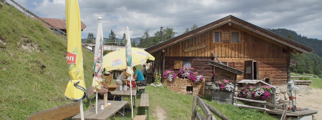
Welcoming little dining lounges, a visual feast of floral splendour around the house and satisfied guests sitting in the sunshine outside the mountain hut enjoying one of the homemade nut cakes or apple strudel. Gourmands, hikers, tourers and sometimes even friendly little alpine genies get together here at the idyllic Brentenjochalm that, thanks to the Kaiser-lift, is particularly easy to access. But where are the cows? The young cattle and heifers lie comfortably together in the clean barn until they come to graze on the alpine pastures in the evening. The milk cows graze on the slopes opposite at Steinbergalm, around half an hour’s walk away.

Alpine Walk
Starting point
Talstation (bottom station) Kaiserlift, Kufstein
Hike to
Brentenjochalm
Finishing point
Talstation (bottom station) Kaiserlift, Kufstein
Mountain chain
Kaiser Mountains
Length
13.8 km
Total hiking time
6 h 30 min
Features
- Wheelchair-accessible Hiking Route
- Circular hike
Difficulty rating
easy (hiking trails)
Altitude
Elevation uphill 710m
Vertical metres downhill 710m
Fitness level
Technique
Best time of year
* These are approximate values and recommendations. Please take your personal fitness level, technical ability and the current weather conditions into account. Tirol Werbung cannot guarantee that the information provided is correct and accepts no liability.
Public transport
- Accessible using public transport
Parking
Kaiser-lift car park (fee charged)
Downloads
Trail description
The hike starts at the Kaiser-lift car park (fee charged) and leads past the village kindergarten to the monument of sewing machine inventor, Josef Madersperger. The path starts here, which takes walkers around many winding bends to a flat ridge at Elfenhain, This sis followed by a short exposed section along a narrow path (wooden fence) along Kienbachklamm Gorge. You will soon arrive at the junction for Duxeralm (signposted), which is accessible via a forest trail. Pass the Duxeralm to your right and continue along the forest trail until a left-hand bend. Now head southwards along the „Schneerosenweg“ and turn onto the forestry road at Kälberhag. The route leads along the forest trail from here in an easterly direction to Brentenjochalm.
For the return journey from Brentenjoch, head along the forest trail in the direction of Moosbeerkopf and down to the Duxeralm. Take the forest trail from there to Berggasthof Hinterdux and continue on to Vorderdux. A trail then leads between Duxer Köpfl ans Kienberg back down to the road and Kaiser-lift car park.


