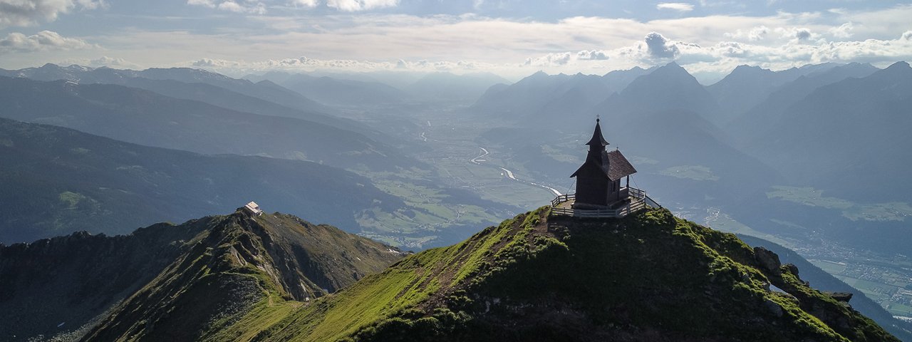
This easy walk on the Kellerjoch mountain offers wonderful views as far as the Großglockner, Austria's highest mountain, and Großvenediger to the south as well as the Zugspitze, Germany's highest mountain, in the north-west. The walk concludes at the Kellerjochhütte, which is known for its excellent food. It is just a short walk from the hut to the top of the Kellerjoch mountain, though hikers will need to be sure-footed to complete this ascent.

Mountain Hike
Starting point
Schwaz, Grafenast Station of Kellerjochbahn lift
Hike to
Kellerjochhütte
Finishing point
Schwaz
Mountain chain
Tux Alps
Length
12 km
Total hiking time
4 h 30 min
Features
- Wheelchair-accessible Hiking Route
- Circular hike
Difficulty rating
intermediate (red mountain trails)
Altitude
Elevation uphill 900m
Fitness level
Technique
Best time of year
* These are approximate values and recommendations. Please take your personal fitness level, technical ability and the current weather conditions into account. Tirol Werbung cannot guarantee that the information provided is correct and accepts no liability.
Public transport
- Accessible using public transport
Bus route 8, get off at stop Pillberg Hotel Frieden
Parking
Grafenast
Trail description
Leave Schwaz on the City Bus that takes you to Hochpillberg and Frieden Hotel. From the bus station, continue straight ahead along the road. Walk past Grafenast Hotel and the lift station. Continue along the road obeying the posted signs for “Kellerjochhütte” and “Alter Kellerjochweg”. This is a gentle ascent changing between footpath, path, dirt road and along the slope through groves. At an elevation of about 1600 metres, leave “Alter Kellerjochweg” and take the right fork onto waymarked Jägersteig trail. There is almost no elevation change on your way through the forest until you reach Naunzalm (Niederleger), situated in wide open alpine terrain. Follow the path to the small, old log cabin and its wayside cross. Walk past the cross and follow the dirt road that zigzags up the hill to Naunzalm-Hochleger (do not take the right fork to “Galtererweg” at the old cabin of Niederleger). From Hochleger keep to the designated trail towards “Kellerjochhütte” and you will see the shelter for a long time before finally reaching it from a northwestern direction.
Tip! Schwaz is a beautiful town with a great number of sights and attractions. There is Freundsberg Castle housing the museum of local history. The impressive gothic church features two parallel naves and two altars, just like the church of Rattenberg. At the church, the citizens used to sit separate from the miners who in the Middle Ages came from all over Europe to mine silver in what was one of the wealthiest places on the entire continent.


