Day 1: Guggenberg Car Park – Zunigalm Alpine Pasture Hut (1,855 m) – Arnitzalm Alpine Pasture Hut (1,848 m) – Zupalsee Hut (2,346 m)
Easy but long; moderate grade; 8 hours walking
From lush forest to Alpine meadows to a dramatically challenging peak, what more could you ask for in one day? Your Lasörling High Trail adventure begins at Guggenberg Car Par in Matrei with a pleasant two-hour hike through deep Bründlwald Forest. Though going uphill, the grade is gentle and brings you to Zunigalm Alpine Pasture Hut, where a hearty snack tastes just right. This peaceful Alpine village is the actual trailhead of the Lasörling High Trail. Follow Bärensteinweg Trail through old-growth forest and eventually cross Zunigbach Creek. From the creek crossing, it is a short walk to idyllic Arnitzalm Alpine Pasture Hut, your first lodge, for a filling meal, a comfortable bed and stunning views. If you’re an exceptionally fit and experienced hiker, you may have your eye on conquering the summit of 2,776-meter Großer Zunig Peak. This is an exhilarating and challenging climb—but well worth it to experience the unrivalled views and sense of accomplishment.
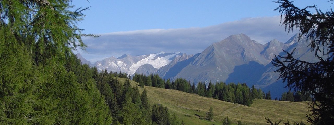
From Arnitzalm Alpine Pasture Hut, amble along the flower-swaying, peak-packed, view-granting ridge toward northwest. Savour one of the finest vantages for admiring Venediger Range’s sprawling sparkling glaciers. And if you can ever move your eyes away from this mesmerizing mountains, a multitude of others demand your attention as well. The walk continues through forest and glades and winds to Torkogel and vast Farrachwiesen Meadows. Cross Mitteldorfer Bach Creek and follow the trail to picturesque Lackensee Lake, where you’ll want time to savour the ambiance. Having passed Fratnikgraben ditch you’ll pass meadows brimming with wildflowers on your way to Wetterkreuz Hut, which is situated at the edge of the forest. From Wetterkreuz Hut, an easy trail weaves around Legerle and takes you to Zupalsee Hut in 1.5 hours.
Day 2: Zupalsee Hut (2,342 m) – Lasörling Hut (2,350 m))
Easy if the route is completely snow-free; moderate grade; 3 hours walking
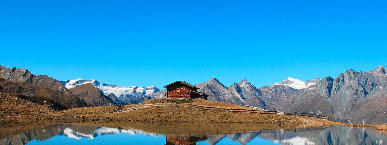
The hut and the beautiful lake of the same name sit in a gorgeous Alpine meadow with the mighty glaciers of Venediger Range looming overhead. With the views, the hut, and the lake, you will be glad you expended the effort to climb up here. From Zupalsee Hut, the trail winds its way through wide open Zupaltrog glacial trough to Lasörling Hut, the base for summiting the pinnacle of 3,098-meter Lasörling Peak. Requiring athletic ability and technical knowledge, this conquest is best left to those with mountaineering experience.
Day 3: Lasörling Hut (2,350 m) – Bergersee Hut (2,182 m) – Neue Reichenberger Hut (2,586 m) at Bödensee Lake
Parts of the hike require athletic ability and technical knowledge; 8 hours walking
From Lasörling Hut, the High Trail takes some three hours to reach Bergersee Hut. This part of the hike involves climbing glacial moraines. The final push to Berger Törl is nearly vertical (fixed wires are in place to aid stability); a thigh burner going up and one that calls for extra caution descending: Along the descent on the north side, lingering snow can make the way treacherous. The lower section of the walk follows the riverbed and soon you will reach Bergersee Hut and the pretty lake of the same name perched in a cirque and flanked by cotton grass, an excellent spot to take a rest.
The walk from Bergersee Hut to Lasnitzenalm Alpine Pasture Hut is a spectacular trip along the amazing Muhs Panorama Trail. You’ll circle Muhsköpfl Peak at a moderate grade. The route continues along a flank high above Lasnitzental Valley with a 20-minute descent to Lasnitzen Hut, where you can gather new strength over hearty delicacies. From this shelter high in the mountains, stand mesmerized, frozen in awe, utterly fixated on the alluring and horizon-dominating Großvenediger Mountain (elev. 3,676 meters). The walk then resumes its climb, taking you across Micheltalscharte Notch to Neue Reichenberger Hut, set on the shores of shimmering blue Bödensee Lake. This day hike provides you with a nasty 900 vertical meters, notches, crests and ridges, breathtaking views, and finally Neue Reichenberger Hut, your home for that night.
Day 4: Neue Reichenberger Hut (2,586 m) – Clara Hut (2,038 m) – Pebell Alm Alpine Pasture Hut (1,520 m) – Islitzer Alm Alpine Pasture Hut (1,513 m) – Ströden Car Park
8 hours walking
This day trek traverses from Lasörling to Venediger Range. From Neue Reichenberger Hut, walk across flower-strewn meadows toward Daberlenke, passing Dabersee Lake. This is where the descent into Dabertal Valley begins. Walk down until you reach Isel River in Umbaltal Valley. Proceed to the other side of the valley and walk into it to get to Clara Hut, which has a picture-postcard setting wrapped along rugged and lofty mountains. Tumbling over cliffs and down steep-sided gorges, the glacial brook of Isel drops down in a series of pretty cascades across Umbaltal Valley. Eventually, you will watch the water as it pours over mossy rock faces into natural plunge pools at new Natur-Kraft-Weg (literally, Nature-Force-Trail), an interpretive Waterfalls Walk. On foot of Umbal Waterfalls, you will find Pebell Alm and Islitzer Alm Alpine Pasture Huts, where you can gather new strength over hearty local delicacies. From there, it’s a 30-minute walk to the car park in Ströden. Optionally, you can take the private Hut Taxi or enjoy a ride in a horse-drawn carriage.


