
Place:
Flirsch
:
Alpine pasture / hut / mountain restaurant
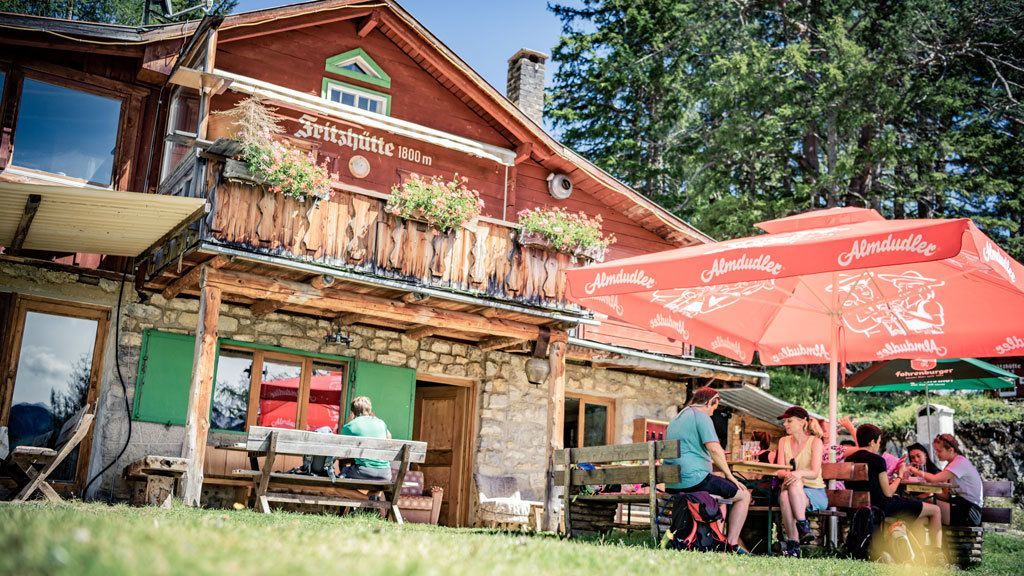
Flirsch - Fritzhütte
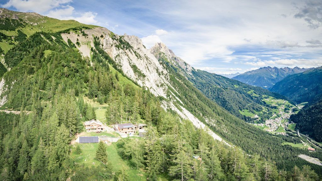
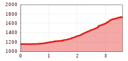
Starting from the church, head north in the direction of Althauswald, before the bridge turn left in a westerly direction until you reach the turn-off for trail 5 in the direction of Fritzhütte. This trail first leads through a pine forest, later steeply up through rugged terrain to the Fritzhütte.


