Mountain hikes Kuhkaser

Jochberg / Kitzbüheler Alpen
Difficulty ratings: medium
Route length: 20.0 km
Duration: 8:00 h

With its height of 2,054m, the Kuhkaser is certainly one of the most beautiful viewing mountains in Jochberg, Kitzbühel.

Tour information

  • Requirement: medium
  • Length: 20.0 km
  • Duration: 8:00 h
  • Elevation uphill:1,540 hm
  • Elevation downhill:1,431 hm
Highest point2,049 m

Starting point

Jochberg, Parkplatz Schradler

Finishing point

Jochberg Wald

Equipment

Sturdy, ankle-high footwear, functional mountain clothing, waterproofs, sun protection, plenty to drink, a comfortable backpack, hiking poles, snacks
Source: Kitzbühel Tourismus

Description

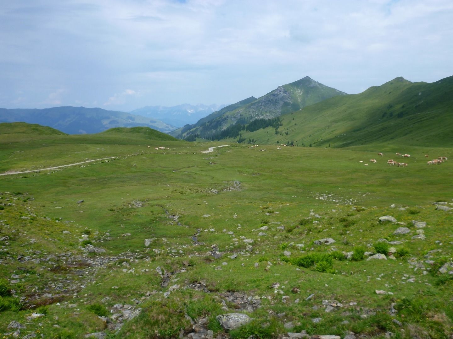
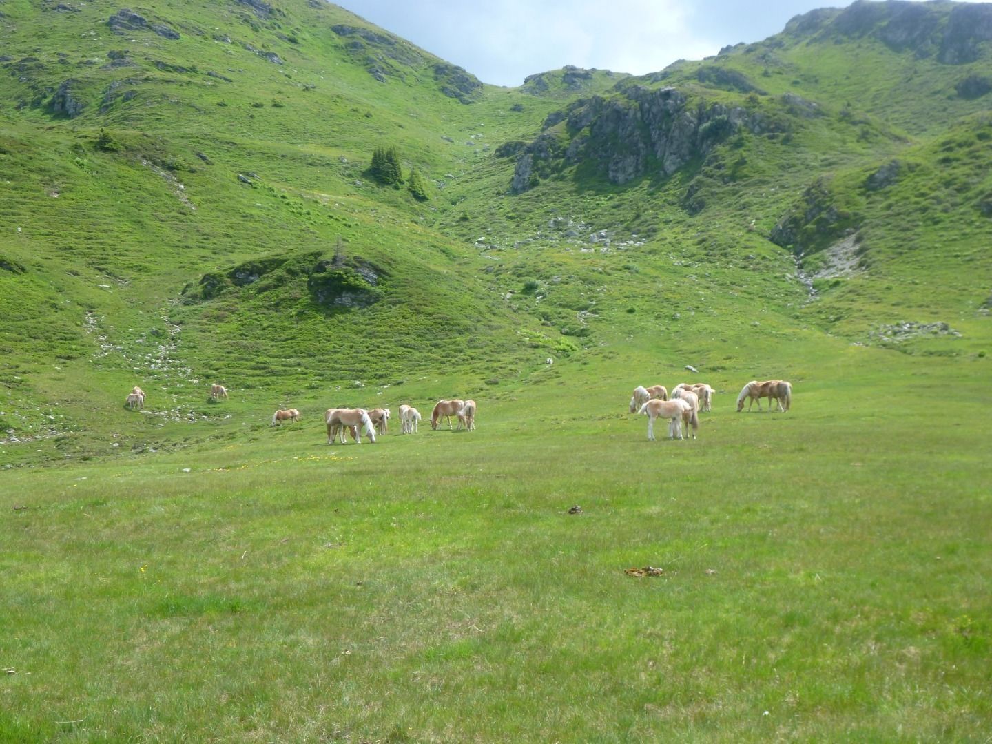
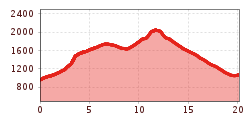
Follow signs to Sintersbach waterfall, take the turnoff towards the Sintersbach Niederalm mountain hut and continue to the Schöntagweidalm mountain hut. This is the start of the climp up to the summit of Kuhkaser, which leads through an area of beautiful alpine pastures characteristic of Kitzbühel's grass mountains. The route back down goes back past the Schöntagweidalm mountain hut and then continues along the signposted route towards Jochberg Wald (Jochberg forest).
 

Nearby huts and mountain restaurants

More tours in the surrounding area

  • Sintersbach Waterfalll

    Difficulty:medium
    Length:9.3 kmDuration:4:00 hElevation uphill:543 m
  • 7-Brunnenweg

    Difficulty:easy
    Length:10.3 kmDuration:2:30 hElevation uphill:200 m
  • Kelchalm - Bochumer Hütte

    Opening hours:closed
    Difficulty:medium
    Length:13.0 kmDuration:5:00 hElevation uphill:651 m
  • KAT Walk Alpine stage 5

    Opening hours:closed
    Difficulty:medium
    Length:21.0 kmDuration:8:00 hElevation uphill:1,250 m
Newsletter

The mountain is calling? So does our newsletter!

In our monthly newsletter we reveal the best holiday tips for Tyrol.