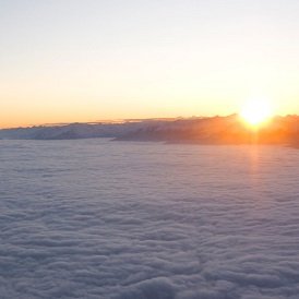
Schlaiten lies at an altitude of 876m on a mountain slope in the romantic Iseltal Valley near Lienz, the largest town in East Tirol.
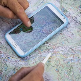
Schlaiten is divided into several settlements and groups of houses with a total population of around 500. In the 13th century the area was known for its silver mining, and if you look carefully then you can still see the remains of the shafts used by these miners many hundreds of years ago. The highest point in the municipality is the Bockstein mountain at 2,805m. The Gantschniginfang, Göriacher Alm, Klosterfrauenalm, Krassnigalm, Laschkitzehütte, Petoggalm, Schlaitener Alm and Schlaitener Tor pastures high above are also within the municipal borders. The village's proximity to the Hohe Tauern National Park and its many leisure activities such as hiking, mountaineering, mountainbiking, tennis, skiing, cross-country skiing, kayaking and rafting make it a popular holiday destination.
Schlaiten is divided into several settlements and groups of houses with a total population of around 500. In the 13th century the area was known for…