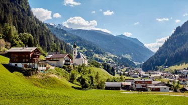
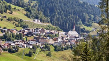
The Silvretta Loop follows the course of the Arlberg Giro, one of the most popular mass-participation roadbike events in Tirol. Every year around 1,400 riders line up to compete not only for overall victory but also for the title "King of the Mountain" on the main climb up to the Bielerhöhe. Starting in St. Anton am Arlberg, the 148km course with 2,670 vertical metres of climbing takes riders over the Arlbergpass into the neighbouring province of Vorarlberg. After passing through the famous winter sports resorts of Klösterle and Dalaas, riders turn off in Bludenz into the Montafon Mountains. It is here that the 15km climb with almost 1000 vertical metres of elevation gain begins. Once at the top of the Bielerhöhe (2,032m), riders descend through the Paznauntal Valley and via Strengen – tired but happy – back to St. Anton. The Silvretta High Alpine Road is one of the most beautiful high alpine roads in the Alps and offers everything which makes riding mountain passes such a great experience: vertical metres, steep sections, flat sections, excellent tarmac, switchback corners and incredible views of the snow-covered peaks, green meadows and two glistening blue reservoirs.

Roadbike Ride
Starting point
St. Anton am Arlberg
Finishing point
St. Anton am Arlberg
Mountain chain
Verwall Mountains
Length
149 km
Riding time
6 h 18 min
Features
- Circular route
- Handicap-accessible
- Route with e-bike charging station
Difficulty rating
difficult
Altitude
Elevation uphill 2,568m
Vertical metres downhill 2,571m
Fitness level
Technique
* These are approximate values and recommendations. Please take your personal fitness level, technical ability and the current weather conditions into account. Tirol Werbung cannot guarantee that the information provided is correct and accepts no liability.
Downloads
Trail description
From the starting point in St. Anton am Arlberg, take the B197 towards Vorarlberg. There is action right from the word go with a climb of 500 vertical metres up the Arlbergpass. The reward for all that hard work so early in the morning is a twisting descent over the regional border into the neighbouring province of Vorarlberg and through the well-known winter sports resorts of Klösterle and Dalaas as far as Bludenz (40km).
From here the road gently tilts upwards as you pass through Schruns, Sankt Gallenkirch and Gaschurn to Partenen. As you enter the village you will find a toll booth for motor vehicles. Cyclists can ride past without paying and enjoy the beautiful scenery left and right of the road.
The following climb has a maximum gradient of 14% and winds its way up via many switchback corners past the Vermuntstausee reservoir and eventually to the top of the Bielerhöhe pass next to the Silvrettastausee reservoir.
The descent to Galtür is relatively short and does not feature many corners, making it easy to ride. The road then continues gently downhill via Ischgl and Kappl through the Paznauntal Valley to Pians. From here the final climb sees riders ascend around 500 vertical metres along the quiet Stanzertaler Landesstraße road back to the starting point in St. Anton am Arlberg.
Tip! A quieter but significantly more difficult way to access the Bielerhöhe pass is via the Zeinisjoch.


