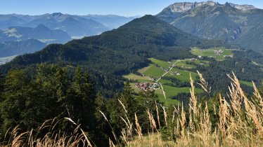
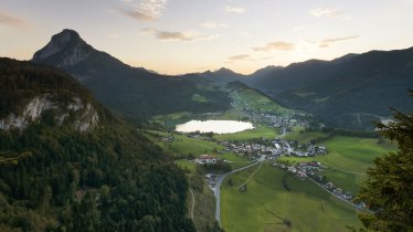
This circular ride for gravel bikes in the Kufsteinerland region is mainly on forest trails leading to scenic spots such as the Brandenberger Ache river and the Kaiserklamm gorge. The route has quite a few climbs and demands a very good level of fitness. Gravel bikers are rewarded with great views and a speedy final descent to the starting point in Landl.


Gravelbike Ride
Starting point
Landl (near Thiersee)
Finishing point
Landl (near Thiersee)
Mountain chain
Brandenberg Alps (Rofan)
Length
48 km
Riding time
5h
Features
- Circular route
- Handicap-accessible
- Route with e-bike charging station
Difficulty rating
difficult
Altitude
Elevation uphill 1,140m
Vertical metres downhill 1,130m
Fitness level
Technique
Best time of year
* These are approximate values and recommendations. Please take your personal fitness level, technical ability and the current weather conditions into account. Tirol Werbung cannot guarantee that the information provided is correct and accepts no liability.
Parking
Small car park next to the church in Landl
Places serving food & drink
- Erzherzog-Johann-Klause, Kaiserhaus
Downloads
Trail description
This ride begins in the small village of Landl in the municipality of Thiersee and leads along the main road (Tiroler Straße) for about 4.4 kilometres with 150 vertical metres of altitude gain. After crossing the German border, the route leaves the main road and leads along a narrow and winding forest path, first parallel to the road and then heading west. A forest path with fine views stretches out in perfect gravel style, with a few crisp climbs to keep the legs warm. After bypassing the Tuschberg mountain near Valepp, the route swings south back into Austria. Parallel to the Brandenberger Ache river the route completes a few small climbs before descending to Kaiserhaus . Here you have to take the sharp left turn on the descent, at about kilometre 32. Now the tour switches to the east and you have to climb again, in some cases on steep terrain. Here, too, the forest path runs parallel to a small stream, the Ellbach. After another turn in a northerly direction, the last few metres of altitude gain are completed before riders return to Landl, mainly on tarmac.


