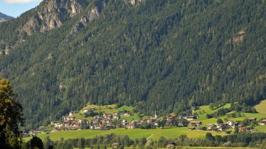
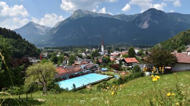
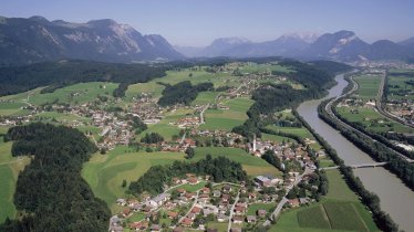
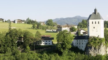
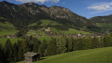
Nestling between the foothills of the Kitzbühel Alps and the eastern slopes of the Rofan Mountains, the Alpbachtal region offers a wide variety of different landscapes ideal for road bike riding. One of the most popular rides in the region is the "Giro Region 31". Starting from Rattenberg, which will host the start of races during the UCI Road World Championships in 2018, this challenging triple loop with plenty of climbing takes riders along some of the quietest and prettiest roads in Tirol. Each of the three loops which make up this ride has its own cultural and historical highlights. The first leads through the village of Alpbach, which has been named Austria's most picturesque village on several occasions. The second loop takes riders along the rushing Brandenberger Ache river into the Brandenbergtal Valley, one of the prettiest alpine valleys in the eastern part of Tirol. Last but by no means least, the third and final loop takes riders past the Reintaler Seen lakes - an ideal place to stop for a well-deserved rest. All in all riders must overcome 117 kilometres and 2,500 vertical metres of climbing. However, there is the option of riding just one or two of the three loops.
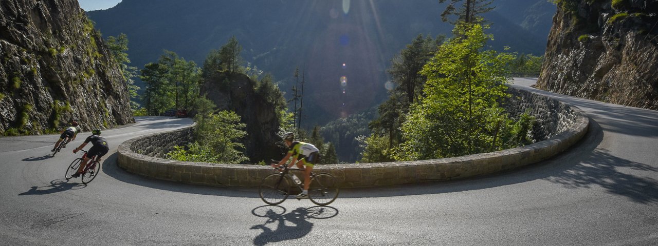

Roadbike Ride

"The climb up over this ridge is a real highlight for any roadbike enthusiast: lush meadows, traditional farmhouses, towering mountains and almost no traffic. Don't forget to stop off for a sweet treat at Café Hacker in Rattenberg, Austria's smallest town."
Starting point
Rattenberg
Finishing point
Rattenberg
Mountain chain
Brandenberg Alps (Rofan)
Kitzbühel Alps
Length
117 km
Riding time
5h
Features
- Circular route
- Handicap-accessible
- Route with e-bike charging station
Difficulty rating
difficult
Altitude
Elevation uphill 2,500m
Vertical metres downhill 2,500m
Fitness level
Best time of year
* These are approximate values and recommendations. Please take your personal fitness level, technical ability and the current weather conditions into account. Tirol Werbung cannot guarantee that the information provided is correct and accepts no liability.
Trail description
Starting at the legendary Notburga-Brunnen fountain in the middle of Rattenberg, officially Austria's smallest town, the routes leads along the busy B171 main road in a westerly direction to Brixlegg. Take the second exit (left) at the roundabout and continue on the L5 to Reith im Alpbachtal. It is here that the first climb of the day begins, taking riders up to the pretty village of Alpbach at 975 metres above sea level. The climb itself is around 8 kilometres in length and has a steady gradient. With the first 450 vertical metres of climbing completed, it is time to enjoy the 6km descent via Außeralpbach towards Reith. Shortly before reaching Reith there is the option of shortening the ride by turning off and returning to Rattenberg. Riders who opt to continue should prepare themselves for the next climb.
This second ascent of the day onto the Kerschbaumersattel is short and sharp: 4km and around 500 vertical metres up to 1,111 metres above sea level. The views at the top and the descent into the Zillertal Valley are, however, more than worth the effort. Along the way there are several picturesque spots to stop off and enjoy the panorama. Once riders have reached the bottom of the descent in Hart im Zillertal, the route continues to Niederhart. Here, riders turn right onto the Zillerstraße main road leading out of the Zillertal Valley towards the Inn Valley. The next 7.2 kilometres are relatively flat, including sections along the banks of the Ziller river, and give riders a chance to warm up their legs and increase the cadence after all that climbing and descending. At the Gasthof Landhaus the road meets the B171. This busy road takes riders past several historical places of interest such as the Kropfsberg ruins, Lichtwerth Castle and Matzen Castle back to Brixlegg. This is the second point at which cyclists can shorten the ride and return to Rattenberg.
Those who choose to continue cross over the river Inn and reach the settlement of Hagau Kramsach. Here begins one of the most beautiful sections of the ride: 10km along the rushing Brandenberger Ache river gently uphill into the charming Brandenbergtal Valley to Aschau and on to the village of Pinegg. Staying on the L4, riders climb for another 100 vertical metres before reaching Brandenberg (919m) with its fantastic views of the Voldöppberg mountain.
The following 6km descent via the L4 to Mariatal bei Kramsach sees riders drop 400 vertical metres back down to the valley floor. They then stay left and follow the L211, past the pretty Reintaler Seen lakes, as far as Breitenbach. Here the route leaves the main road and rolls gently through the villages of Schönau, Glatzham and Brudersdorf to Mariastein, the smallest municipality in the administrative district of Kufstein. Here it is worth stopping for a rest before taking on the final climb of the day.
A fast descent to Baumgarten and on to Angath is followed by a crossing under the motorway towards Wörgl. At kilometre 100 is is time to relax. The final 16km lead along the Inn Cycle Path back to Rattenberg.
TIP! As mentioned, riders have the option of completing only one or two of the three loops. This is also a good idea for those who want to take a closer look at some of the cultural and historical sights en route.


