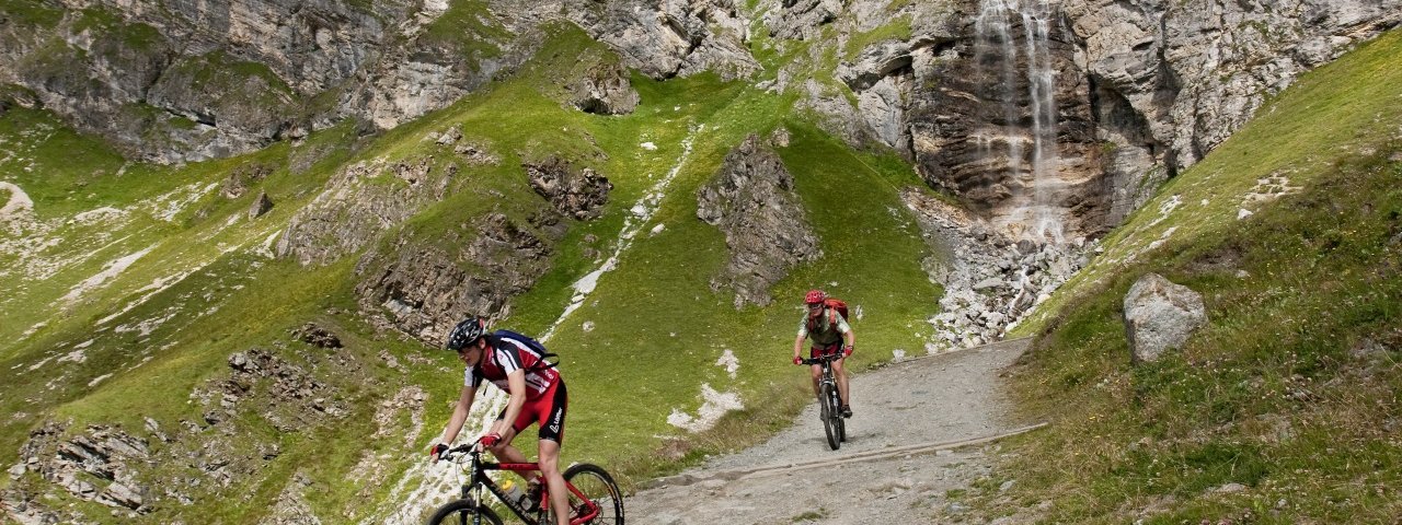
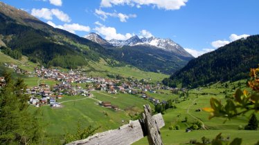
The Sesvenna Loop is part of the transalpine route leading all the way from Oberstdorf in Germany to Lake Garda in Italy. This section begins in Nauders and leads up over the Swiss border and the Schlinig pass before traversing the beautiful Uinaschlucht gorge and concluding in Alto Adige, Italy's northernmost province. Highlights along the way include a sculpture park in Sur En in Unterengadin, Switzerland, as well as the Marienberg Monastery, Naudersberg Castle and the spectacular semi-submerged church spire in the middle of the Reschensee lake. There are several tricky sections en route, so riders need good bike-handling skills. The rewards come in the form of wonderful views.


Mountain Bike Ride
Starting point
Nauders
Finishing point
Nauders
Mountain chain
Sesvenna Alps
Length
67.6 km
Riding time
6 h 30 min
Features
- Circular route
- Handicap-accessible
- Route with e-bike charging station
Difficulty rating
difficult
Altitude
Elevation uphill 3,430m
Vertical metres downhill 3,430m
Fitness level
Technique
Best time of year
* These are approximate values and recommendations. Please take your personal fitness level, technical ability and the current weather conditions into account. Tirol Werbung cannot guarantee that the information provided is correct and accepts no liability.
Parking
Parking at the ice-skating rink in Grudanatsch, Doktor-Tschiggfrey-Straße
Parking at the bottom of the Bergkastelbahn ski lifts
Downloads
Trail description
From the car park at the Grudanatsch ice skating rink in Nauders, take route 7042 towards Norbertshöhe, first on an asphalt road, then on a forest path. At the Alpengasthof Norbertshöhe change to the Martinsbrucker Straße road and take this road and narrow hiking trails alternately downhill to the village of Martina in Switzerland. From there the Inn Cycle Path leads for 13.4 kilometres easy up and down to Sur En in the Unterengadin area. Now turn left into the Uina valley between the peaks of Piz S-chalambert and Piz Lischana. After 6.6 kilometres and 760 metres of altitude gain, you will reach the Uina-Dadaint-Alm hut. Now the route continues steeply uphill to the south and through the Uinaschlucht gorge. After about 4.6 kilometres the route leads over the Schlinig pass at 2,309 metres above sea level. Through the Sesvenna high plateau, past the Sesvenna hut, the route then leads downhill again to the Schliniger Alm. Cycle through the municipality of Mals in Alto Adige, Italy, via alpine meadows, always along the Metzbach stream. After 13 kilometres in the hamlet of Schleis, cycle north on an asphalt road back to the Austrian border. The way back leads through fields to Burgeis and 15.2 kilometres further on, along the western shores of the Haidersee and Reschensee lakes, through the Vinschgau Valley to Reschen in Graun. All that then remain are 7.3 kilometres on a slightly sloping stretch to the starting point in Nauders.


