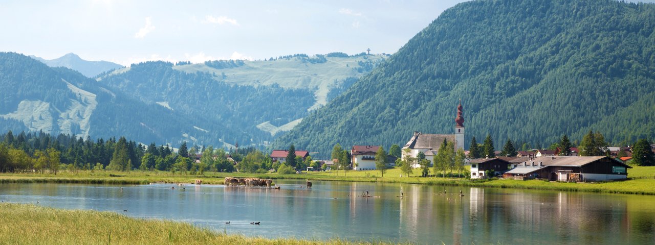
This family-friendly ride begins in Hochfilzen and leads 67 kilometres along a route dotted with beautiful sculptures around the Loferer and Leogang Rocky Mountains. The sculptures along the way were designed by children and teenagers in cooperation with 24 international artists. Most of the riding is flat, but at 67 kilometres the route is quite long and therefore requires good fitness. Families should also be aware that some sections of the ride are on roads.

Mountain Bike Ride
Starting point
Hochfilzen
Finishing point
Hochfilzen
Mountain chain
Loferer Rocky Mountains
Length
67 km
Riding time
4 h 30 min
Features
- Circular route
- Handicap-accessible
- Route with e-bike charging station
Difficulty rating
medium
Altitude
Elevation uphill 490m
Vertical metres downhill 490m
Fitness level
Technique
Best time of year
* These are approximate values and recommendations. Please take your personal fitness level, technical ability and the current weather conditions into account. Tirol Werbung cannot guarantee that the information provided is correct and accepts no liability.
Parking
Car park at Kulturhausstraße
Car park at bottom of Bergbahn Pillersee cable car in Oberwarming
Places serving food & drink
- Gasthof Wiesenseehof
- Various locations in St. Ulrich am Pillersee
- Restaurant Forellenranch
- Gasthof Adolari
Downloads
Trail description
From the car park at the Kulturhausstraße in Hochfilzen, follow the Warminger Straße in a north-westerly direction. At Oberwarming, shortly after crossing the Rotache river, turn right onto the Forstweg, turn left at the first crossing and cycle past Unterwarming to the Wiesensee lake. After 2.8 kilometres the route leads through Schwendt, over the Grießelbach stream and then in a northerly direction along the stream via Strass to St. Ulrich am Pillersee. Follow the cycle path to the right of the Pillersee lake, past the Seestüberl and the Forellenranch to the pilgrimage church of St. Adolaria. After the car park at the bee nature trail, cross the main road and cycle down to Waidring. In the village centre turn right towards Lofer and follow the old federal road via Unterwasser and the Pass Strub for 7.6 kilometres to the border with the neighbouring province of Salzburg. About 1.8 kilometres after the border turn right at the bus stop "Lofer Lintner" and cycle along the edge of the forest to Grubhof. Now the path leads slightly uphill to the south along the main road at St. Martin near Lofer and Weißbach through the Saalach Valley in Salzburg to Lenzing. At Schörhof the trail passes under the main road and along the Leoganger Ache to Leogang, passing the district of Hütten. Shortly before reaching Grießen riders will cross railway line. The final stretch then passes the Grießensee lake and heads back to Hochfilzen.


