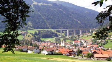
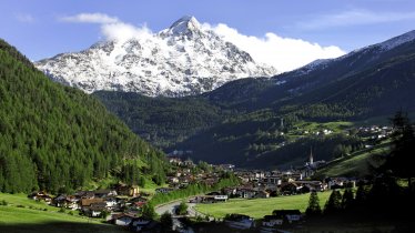
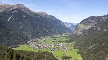
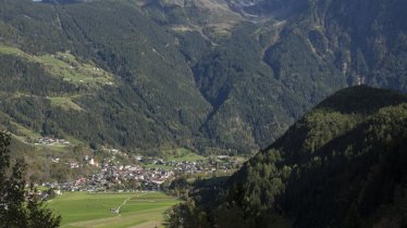
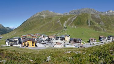
From Sölden to Oetz, over the Kühtaisattel pass to Innsbruck, over the Brenner pass and the Timmelsjoch back into the Ötztal Valley: that is the route of the famous Ötztal Bike Marathon. With its 238 kilometres and 5,500 vertical metres, this mass-participation event is one of the most challenging and well-known bike marathons in the world. While the participants in the "Ötztaler", as the race is known, take on the route in just one day, this ride divides it into two. That gives riders the chance to enjoy the experience more and stop off for a few spectacular selfies!

Roadbike Ride
Starting point
Innsbruck
Finishing point
Innsbruck
Mountain chain
Stubai Alps
Ötztal Alps
Length
226.6 km
Riding time
15h
Duration
2 day(s)
Features
- Circular route
- Handicap-accessible
- Route with e-bike charging station
Difficulty rating
difficult
Altitude
Elevation uphill 5,401m
Vertical metres downhill 5,401m
Fitness level
Technique
Best time of year
* These are approximate values and recommendations. Please take your personal fitness level, technical ability and the current weather conditions into account. Tirol Werbung cannot guarantee that the information provided is correct and accepts no liability.
Downloads
Trail description
Starting in Innsbruck, the first 40km of this classic ride lead along the route of the Ötztal Bike Marathon via the Brennerbundesstraße main road (B182) up to the Brenner Pass at 1,370 metres above sea level. Riders who prefer less traffic can ride from Innsbruck in the direction of Igls and take the old Römerstraße (Roman road) that leads through the Wipptal Valley as far as Matrei am Brenner and continue from there along the main road to the top of the pass.
After around 800 vertical metres of climbing, riders reach the top of the Brenner Pass and plunge down along the SS12 road to Sterzing/Vipiteno in South Tirol. Use this time to recover, because next up is the 16km climb of the Jaufenpass (2,094m). The road (SS44) leading up over this alpine pass is full of twists and turns. The climb has a maximum gradient of 12% and comprises 1,100 vertical metres of ascent from bottom to top.
Be careful on the descents towards the Passeiertal Valley: there are some sharp turns as the road winds its way down to the pretty village of St. Leonhard. This is the perfect place to stop for a rest before taking on the longest and toughest climb: the Timmelsjoch pass with its 1,760 vertical metres and 28.7 kilometres with a maximum gradient of 14%. Pace yourself on this one! The views up at 2,478 metres above sea level are, however, a fine reward for all that hard work.
The descent into the Ötztal Valley is interrupted by a short climb at Windegg before the downhill continues past Hochgurgl and Untergurgl towards the village and ski resort of Sölden – the final destination on day one.
Day two begins in Sölden. Riders take the busy B186 road through the Ötztal Valley, parallel to the rushing Ötztaler Ache river, gently downhill as far as the village of Oetz, where the last of the four main climbs making up the Ötztal Bike Marathon begins.
All in all the climb is about 10km in length, leading via Oetzerau and Taxegg to Ochsengarten at 1,538m and then along the quiet L237 road via several switchbacks to the village and ski resort of Kühtai.
The road is long and steep, with some sections cut into the rock. The steepest section is a punishing 18%. However, by pacing yourself well and finding a rhythm you will make it to the top and maybe even be able to enjoy some of the gorgeous views on the way. The final section leads past the Längental reservoir and the Dortmunder Hütte hut before finally topping out at the highest point 2,020 metres above sea level. Though Kühtai is best known for its winter tourism, riders are sure to find a few guesthouses and restaurants open in summer.
It's full speed ahead on the following descent, with long straights and gradients of up to 20% guaranteeing plenty of adrenaline. The well-maintained road takes riders via the villages of St. Sigmund, Gries and Sellrain all the way down to Kematen on the valley floor, 1,400 vertical metres below Kühtai.
All the remains is the easy ride back to Innsbruck across fields and meadows. In the village of Völs riders cross under the motorway and continue along the Inn Cylcle Path all the way back to Innsbruck.
Tip! The legendary Ötztal Bike Marathon, which takes places every year in early September, a must for roadbike enthusiasts and a great event for spectators. Here is some information about the best places to watch the Ötztal Bike Marathon.


