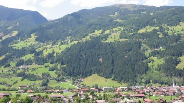
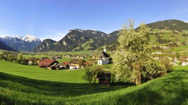
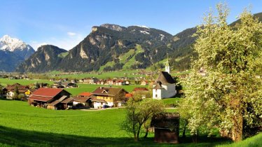
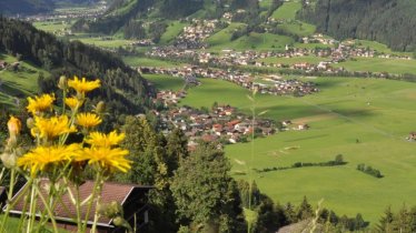
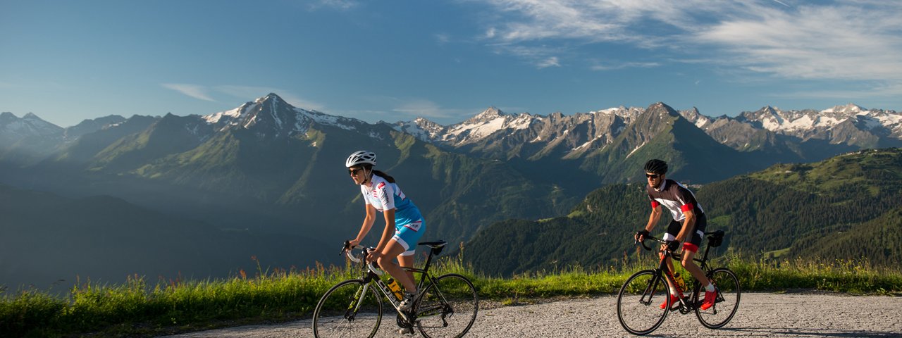
Long, steep and with stunning views of the Tux Alps and Zillertal Alps – the Zillertal High Road is located on the west side of Tirol’s well-known Zillertal Valley and is one of the region's greatest challenges for road bike enthusiasts. The climbs are long and steep, but sensational views and vantage points are the reward for this strenuous tour. Riders start in Hippach and finish the climb next to the Jausenstation Melchboden hut serving food and drink. The many great vantage points en route make this ride a special, if exhausting, experience.
Roadbike Ride

"Georg and Harald Totschnig as well as Clemens Fankhauser are three of the most well-known riders from the Zillertal Valley - and they are all great climbers. Little wonder considering the terrain they grew up riding: steep, steep, steep. The section along the ridge at the top of the climb is the most beautiful of its kind anywhere in Europe."
Starting point
Strass in Zillertal Valley
Finishing point
Strass in Zillertal Valley
Mountain chain
Tux Alps
Length
34 km
Riding time
4h
Features
- Circular route
- Handicap-accessible
- Route with e-bike charging station
Difficulty rating
difficult
Altitude
Elevation uphill 1,590m
Vertical metres downhill 1,590m
Fitness level
Technique
Best time of year
* These are approximate values and recommendations. Please take your personal fitness level, technical ability and the current weather conditions into account. Tirol Werbung cannot guarantee that the information provided is correct and accepts no liability.
Trail description
The Zillertal High Road has five different access points in total. The southernmost begins in Hippach (between Mayrhofen and Zell am Ziller), the northernmost in Ried, only ten kilometres after the mouth of the Zillertal Valley. It makes no difference which access point is used by road bikers, as the five ascents are all more or less equally steep and long. The highest point at 2,010 metres can be reached via the southernmost route shown here.
If you think you have made it once you reach the top, you are sorely mistaken. The High Road is by no means flat: the highest point at the end of the southernmost ascent is around 2,010 metres above sea level next to the Melchboden snack bar. If you stay on the High Road, it leads back downhill to an intersection with the access road from Aschau at around 1,460 metres. The road then leads uphill again and takes you an altitude of around 1,900 metres and the ski area of Hochzillertal, where you can also stop at various restaurants to enjoy welcome refreshments. From Kaltenbach Ski Lodge, the route then leads downhill to the toll booth and splits into two roads down to Kaltenbach and Ried.
Tip! The access road from Ried is least busy during the summer months, meaning you are virtually alone on the road as a cyclist.

