Eagle Walk Stage O8, © Tirol Werbung/Frank Bauer
Eagle Walk Stage O8, © Österreich Werbung/Rainer Fehringer
Eagle Walk Stage O8, © Isep Kurg

Eagle Walk Stage O8: Kalser Tauernhaus - Stüdlhütte

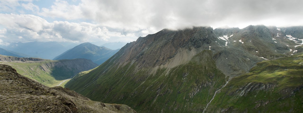
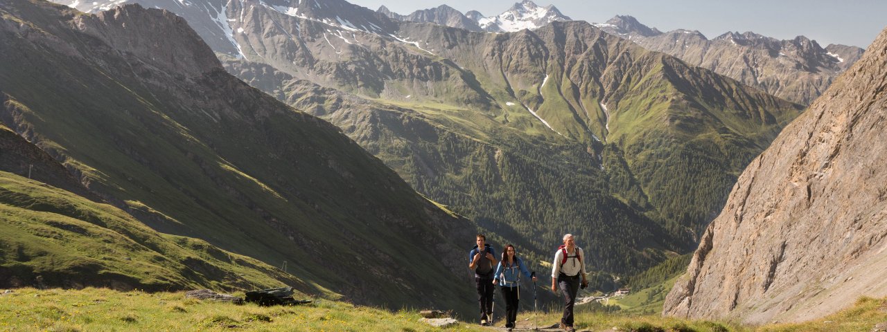
This Eagle Walk segment has you hiking under the watchful gaze of the majestic Großglockner peak and under the jagged, towering spires of the Zollspitze, Säulspitze, Bretterspitze, Kristallspitze, and Kreuzwandspitze. The forces of nature have conspired here to create an improbably gorgeous landscape. From Kalser Tauernhaus, a scenic trail ambles peacefully through rolling alpine meadows blanketing the idyllic Dorfertal Valley that is dotted by the Schönebenalm, Bergeralm, Moaebenalm and Moaalm huts. This awesome setting is made all the more spectacular by contrast with the dramatic mountainous terrain that stretches off in every direction near and far. Quaint mountain huts along the trail provide the perfect rest stops for hikers. The route gradually gains elevation into the Teischnitz Valley, while the last section follows the Herrensteig trail past the Figerhorn, Freiwandspitze and Fanotkogel mountains to the Stüdlhütte beneath the peak of the Großglockner mountain.

Interesting Facts

Eagle View ·There are many peaks between Matrei and Kals bearing the word “Brett” in their names, such as the Bretterwand and the Bretterspitze. Their perpendicular slate rocks resemble smooth "planks" ("Brett" meaning "plank" in German).

Eagle Kick ·One section of this walk leads near the creek-carrying ravine of the spectacular Dabaklamm gorge with its thundering waters on a rocky steep trail with some exposed areas that can be treacherous in rain or adverse weather conditions.

Interesting Facts Eagle View ·There are many peaks between Matrei and Kals bearing the word “Brett” in their names, such as the…

Read moreShow less
Open interactive map

Starting point  

Kalser Tauernhaus

Finishing point

Stüdlhütte

Mountain chain

Glockner Mountains

Granatspitz Mountains

Length

14 km

Total hiking time

6 h 24 min

Features

  • Wheelchair-accessible Hiking Route
  • Circular hike

Difficulty rating

intermediate (red mountain trails)

Altitude

2,800m 1,610m

Elevation uphill 1,440m
Vertical metres downhill 400m

Fitness level

Technique

Best time of year

Jan
Feb
Mar
Apr
May
Jun

Jul
Aug
Sep
Oct
Nov
Dec

* These are approximate values and recommendations. Please take your personal fitness level, technical ability and the current weather conditions into account. Tirol Werbung cannot guarantee that the information provided is correct and accepts no liability.

Eagle Walk

This is a stage of the Eagle Walk, Tirol's most famous long-distance hiking trail.

Downloads

Trail description

Starting point: Kalser Tauernhaus

From the Kalser Tauernhaus lodge, the Eagle Walk heads southward across the lovely Dorfertal Valley, gently down a wide alpine path towards the Moaalm hut. On your way, you’ll pass the alpine pastures of Kals named Rumesoi and Schönebene. Beyond Bergeralm, trail number 40 branches off to the left, climbing steeply up to the Moaalm hut (1,793 m) high above Kals on a demanding trail (dubbed “the stairs”) that requires sure-footedness. From there, walk down the Moaalm road to the bridge  crossing the Teischnitzbach stream, where you will find a sign at a gap in a fence leading into the Teischnitztal Valley. This pristine and remote valley is a wilderness area of awesome natural beauty. The route follows an alpine path that climbs the right side of the valley through groves of larches. There’s an optional trail that takes a shortcut across that loop. It's steeper, but it's shorter, crossing the alpine path several times on its way up. At Mauriger Trog (2,101 m) the trail crosses a narrow, 800-metre-long rocky ravine (2,075 m). At the entrance to the high valley trough of Teischnitz Plateau, follow signage to Stüdlhütte at the bridge. The trail drops down to the right, descending steep mountain slopes.

Food & drink: Bergeralm, Moaalm

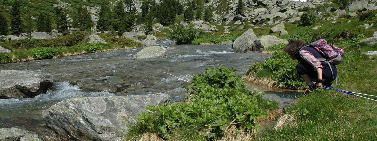
A short way down, the rushing Teischnitzbach stream and the towering seracs of the Teischnitzkees glacier can be seen glinting through the trees. You’ll have to tackle steep slopes, gullies and chutes before nearing the Stüdlhütte from the south. The final stretch becomes increasingly rock-laden, slowing your pace as you clamber up and around scree and talus slopes and large boulders. At an elevation of 2,802 metres, the Stüdlhütte sits in a rugged bowl beneath the peak of the majestic Großglockner mountain. From here you can enjoy a superb panorama of nearly every glacier and peak in the area. Trail descriptions also available in the book "Osttiroler Wanderbuch" by Walter Mair.

Finishing point: Stüdlhütte

Information on place

Arrival date

How to get here by plane, train, bus or car.

Ihr Ziel: Eagle Walk Stage O8: Kalser Tauernhaus - Stüdlhütte (47.0713,12.62434)

powered by Rome2Rio

Search accommodation

Number of travelers

Hiking trails in this region

show more +

How did you like this article?

Want to receive an answer? If so, please get in touch using the contact form.

Go up

Is your inbox in need of a holiday?

Then subscribe to our weekly newsletter full of exclusive holiday tips from Tirol!