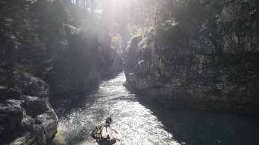
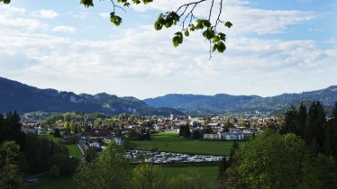
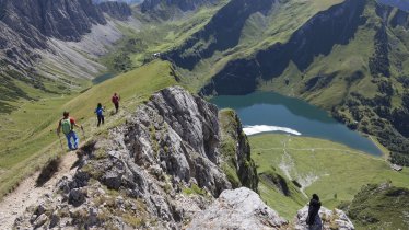
This hike is full of natural and cultural highlights. It begins at the Riedener See lake, where there is a nature learning trail. Eight kilometres later, hikers reach the Ehrenberg Ruins. Between the fortress ruins and Fort Claudia there is a hanging bridge 114 metres above the ground known as Highline179. Measuring 406 metres in length, it is the longest footbridge of its kind in the world. The return leg takes in the Lech river, including three kilometres directly along the banks of this major waterway.

Mountain Hike
Starting point
Rieden car park
Hike to
Riedener See lake, Ehrenberg Ruins, Highline179
Finishing point
Rieden car park
Mountain chain
Lechtal Alps
Length
15 km
Total hiking time
4 h 30 min
Features
- Wheelchair-accessible Hiking Route
- Circular hike
Difficulty rating
intermediate (red mountain trails)
Altitude
Elevation uphill 440m
Vertical metres downhill 440m
Fitness level
Technique
Best time of year
* These are approximate values and recommendations. Please take your personal fitness level, technical ability and the current weather conditions into account. Tirol Werbung cannot guarantee that the information provided is correct and accepts no liability.
Public transport
- Accessible using public transport
Bus route 120, get off at stop Ehenbichl Rieden
Parking
Riedener See car park
Places serving food and drink
- Restaurant Salzstadl (Klause Ehrenberg; detour)
- Hotel-Gasthof Maximilian Ehenbichl (detour)
- Gasthof Kreuz, Rieden
Downloads
Trail description
Leaving from the car park next to the Riedener See lake, this hike starts on a nature learning trail all about the local flora and fauna, including the diversity of dragonflies in the area. Once you reach the other side of the lake, take the trail into the Klausenwald forest. From this point, follow the signs for Schlosskopf (1,227 metres). Once you get to the Schlosskopf, take a break to admire the wonderful view. Continue through the forest to the Ehrenberg Ruins and on to the Highline179 footbridge, the longest footbridge of its kind in the world. If you want, you can take a detour down into the valley and enjoy a meal at the Gasthof Klause (Salzstadl). From the Ehrenberg Ruins, head in a north-westerly direction to the village of Ehenbichl. There, cross over the main road and walk to the banks of the Lech river. Walk back up-river to the starting point in Rieden.


