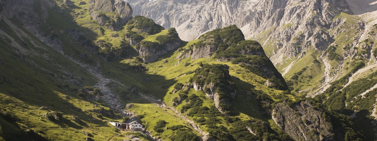
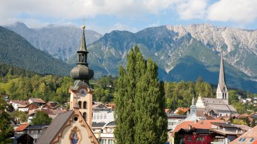
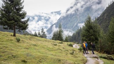
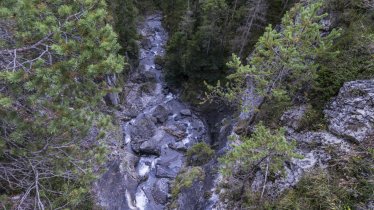
This challenging three day-trek begins in the small town of Imst and travels along the glorious eastern Lechtal Alps. Highlights along the way include the scenic Rosengartenschlucht canyon, two kilometres in length and one of the most important natural biotopes in Tirol, and the Scharnitzsattel ridge, at 2,441 metres above sea level the highest point on this trek. The route concludes with a beautiful section from the Anhalter Hütte hut to the Tarrentonalm hut, passing the northern face of the Heiterwand and the Muttekopf viewing platform at 2,050 metres above sea level. Hikers require good fitness levels and study footwear.

Starting point
Imst, "Sonne" car park
Hike to
Muttekopfhütte, Anhalter Hütte
Finishing point
Nassereith, Postplatz
Mountain chain
Lechtal Alps
Length
34.6 km
Duration
3 day(s)
Features
- Wheelchair-accessible Hiking Route
- Circular hike
Difficulty rating
difficult (black trails)
Altitude
Elevation uphill 2,380m
Vertical metres downhill 2,329m
Fitness level
Technique
Best time of year
* These are approximate values and recommendations. Please take your personal fitness level, technical ability and the current weather conditions into account. Tirol Werbung cannot guarantee that the information provided is correct and accepts no liability.
Public transport
- Accessible using public transport
Parking
"Sonne" car park in the centre of Imst (pay and display)
Places serving food & drink
- Stage 1: Untermarkter Alm (June until October), Latschenhütte (May until October), Muttekopfhütte (June until October)
- Stage 2: Anhalter Hütte (June until September)
- Stage 3: Hintere Tarrentonalm (mid-June until mid-September), Hotel Post Nassereith, Gasthof Pension Kreuz, Gasthof Gurgltalblick and other locations in Nassereith
Downloads
Trail description
Stage 1: Imst – Hoch-Imst – Muttekopfhütte
Uphill/downhill: 1,248/95 vertical metres, walking time: 5.5 hours, distance: 9.5 kilometres, highest point: 1,930 metres, difficulty level: intermediate (red trails)
From the Johanneskirche church, follow signs for “Rosengartenschlucht, Hochimst”. Rosengarten, literally Rose Garden, is a narrow gorge cut into the rock by the cascading waters of the Schinderbach river. The scenic trail across the gorge is edged by the Schinderbach river’s frothing white torrents and takes you up to Hochimst (1,042m) via a delightful series of beautiful wooden boardwalks, suspension bridges, stone steps, fixed cables and a tunnel, alternately left and right of the river. From Hochimst, follow the forest road that gently zigzags up to Untermarkter Alm (1,491m) to the start of the Imst Alpine Coaster, the longest alpine coaster ride in the world. Follow the signs towards “Muttekopfhütte, Latschenhütte” and walk along Jägersteig trail to the Latschenhütte hut (1,623m). The last 300 metres of elevation gain are tackled along a forest road. At the bottom of the small cable car used to transport material up to the hut, take the footpath that winds its way up to the Muttekopfhütte hut (1,934m).
Stage 2: Muttekopfhütte – Hahntennjoch – Anhalter Hütte
Uphill/downhill: 845/744 vertical metres, walking time: 5 hours, distance: 7.7 kilometres, highest point: 2,441 metres, difficulty level: difficult (black trails)
From the Muttekopfhütte hut, it’s a 500-metre vertical gain up across the Scharnitzkar cirque and onto the 2,441m Scharnitzsattel ridge. The trail can be loamy and slippery after rainfall. Beyond the ridge, the route plunges into rugged terrain with various ropes and cables. It then continues to descend to the Hahntennjoch ridge (1,894m). Cross the road and continue on a well-maintained track up to the Steinjöchl ridge (2,198m) auf. All that then remains is a very short walk to the Anhalter Hütte hut (2,042m), your base for the night.
Stage 3: Anhalter Hütte – Tarrentonalm – Nassereith
Uphill/downhill: 287/1,490 vertical metres, walking time: 6 hours, distance: 17.4 kilometres, highest point: 2,210 metres, difficulty level: difficult (black trails)
Start off at the Anhalter Hütte hut along a track that gently ascends verdant meadows on its way up to the Kromsattel ridge (2,120m). From the ridge, traverse a cirque where snow may remain until summer (please proceed with caution). Beyond the cirque, make your way up to the Hinterbergjoch ridge (2,210m) across a steep tussock slope ("Schwarze Erde"). Now, in open terrain below the Heiterwand rock face, follow the leisurely descending singletrack trail until you reach the Schaferhütte hut and proceed to Hintere Tarrentonalm hut (1,519m). The last portion of the route follows a dirt road. At the Hintere Tarrentonalm hut, take the forest road that leads out of the Tegestal Valley. It gently climbs up onto the Schweinsteinjoch ridge (1,564m) in the beginning, before slightly descending high above the deeply incised Tegestal Valley. Having crossed a rock tunnel, the forest road plunges into the valley (alternately left and right of the Tegesbach river). Down in the valley, take train number one towards Nassereith and follow this for around three kilometres until you reach the village centre of Nassereith.


