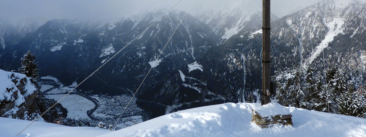
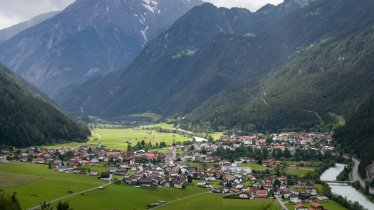
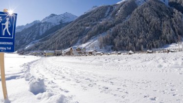
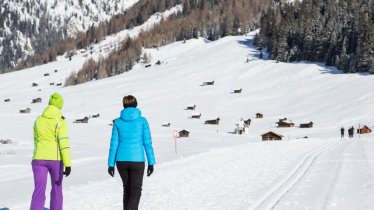
An area of awesome natural beauty, Pfunds Tschey offers an easy and especially scenic snowshoe route in the midst of snow-covered Alpine meadows. The trail climbs to the top of Frudiger, the mountain in the backyard of Pfunds. It gains vertical 550 meters, but once the work is done, the rewards are many. As you push up toward the summit of 2,136-meter Frudiger Peak, views open and you can enjoy spectacular panoramas to all directions. Take your time to bask in the views from the cross atop the summit before walking down past Frudigeralm Alpine Pasture Hut. Stroll to your heart’s content, then retrace your steps and weave your way through the trees back to the starting point for a gentle day on the snow.


Snowshoe
Starting point
Tscheylücke Car Park, Pfunds (elev. 1,615 Meters)
Finishing point
Tscheylücke Car Park, Pfunds (elev. 1,615 Meters)
Mountain chain
Ötztal Alps
Length
5.5 km
Total hiking time
3 h 15 min
Features
- Circular hike
Difficulty rating
easy
Altitude
Elevation uphill 550m
Vertical metres downhill 550m
Parking
Tscheylücke Car Park, Pfunds
Downloads
Trail description
At Tscheylücke, start the hike by heading west along a steep trail that climbs dense forest past a signpost at an elevation of 1,670 meters (deer feeding station). Continue northwestward to the cabin next to the pylon (elev. 1,845 meters), then head west to Greider barn (elev. 1,920 meters, signpost). Before reaching the barn, walk on to the edge of the forest where the trail begins to switchback up north through forest. Then, the route weaves up northwestward until you reach a tiny hollow at an elevation of 2,080 meters (signpost). From there, it’s a hike across hollows and through a narrow, level valley floor in the shadow of looming Frudiger Mountain. The final push to the summit heads to the northwest and takes you to the cross atop 2,136-meter Frudiger Peak.
From the summit cross, retrace your steps to the narrow, level valley floor and head northeast to the wide open Alpine pastures of Frudigeralm with a few easy ups and downs. Then, walk straight down to the Alpine Pasture Hut Frudigeralm (elev. 2,060 meters) and continue the descent along the steep meadows and past time-weathered barns to the southwest until you reach the cabin next to the pylon (elev. 1,845 meters) you passed on your way up. From there, walk back the same route to get to the trailhead.
Please Note: Be prepared to adjust your activity based on current conditions. As a general rule, if there is fresh snow, conditions may be better suited for snowshoeing; if the snow is old and well-travelled, it may be better for winter walking. For avalanche conditions visit lawine.tirol.gv.at.


