This snowshoe walk of intermediate difficulty leads along the sunny slopes of the Wilder Kaiser Mountains up to the charming Kaiseralm hut. The route takes in wide trails as well as a number of narrower paths and bridges before ending at the Jägerwirt, a guesthouse serving hearty food and drink. Please check the current avalance risk before embarking on this walk. An avalanche safety set (probe, shovel and transponder) is recommended, particularly for the second half ot the walk.


Snowshoe Walk
Starting point
Wegscheid car park, Scheffau
Hike to
Kaiseralm (1,138 metres)
Finishing point
Wegscheid car park, Scheffau
Mountain chain
Kaiser Mountains
Length
4.8 km
Total hiking time
2 h 30 min
Features
- Circular hike
Difficulty rating
medium
Altitude
Elevation uphill 250m
Vertical metres downhill 250m
Fitness level
Technique
Best time of year
* These are approximate values and recommendations. Please take your personal fitness level, technical ability and the current weather conditions into account. Tirol Werbung cannot guarantee that the information provided is correct and accepts no liability.
Public transport
- Accessible using public transport
Bus stop: "Scheffau Oberfeld", bus route B (approx. 2 kilometres from walk starting point)
Parking
Wegscheid car park, Scheffau (pay-and-display)
Food and drink: Gasthof Jägerwirt (open Thursday to Sunday)
Downloads
Trail description
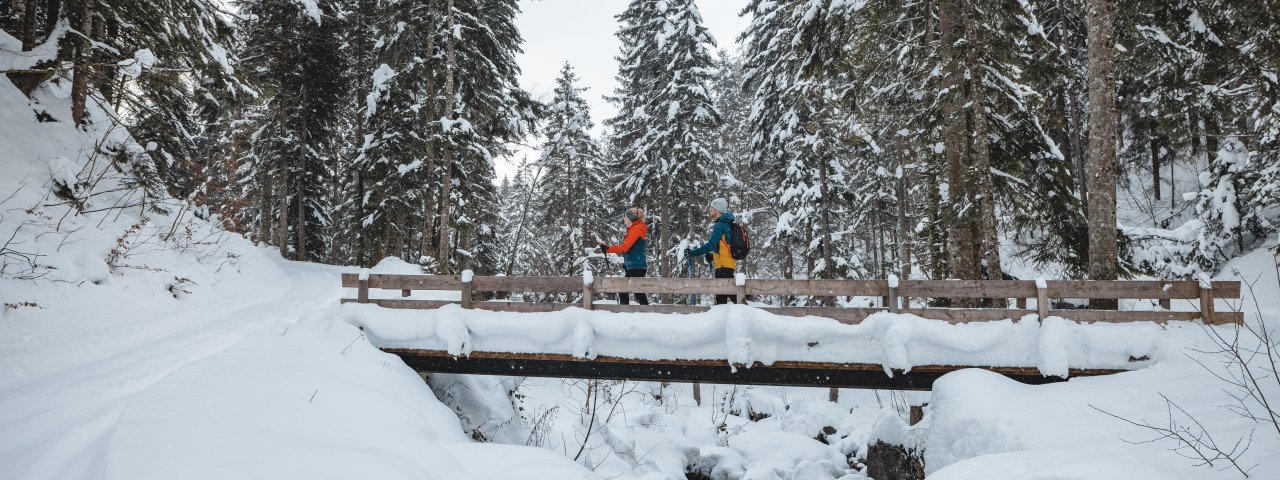
This snowshoe walk begins at the Wegscheid car park near the Jägerwirt guesthouse. Walking along the forest road you first head uphill towards the Wegscheidalm hut. Soon you have to cross a narrow wooden bridge over the stream. At the Wegscheid-Niederalm leave the farm road to the left and follow the trail to the Kaiseralm hut (closed in winter). Cross the stream again, then keep left. After a short climb you can already see the Kaiseralm. The highest point of the walk is at the hut. After stopping for a snack and drink at the hut, descend down the other side of the valley on an alpine path. Follow the signs to the Gaisberg car park. Just before the Schießlinghöfe, turn left and walk along the narrow footpath to the Jägerwirt.
Important! This walk should only be undertaken if the avalanche risk is low. The second section, after the Kaiseralm, is particularly at risk of avalanches. We recommend taking an avalanche safety set with you.


