Mountainbike-Tour Brennalm No. 365

Walchsee / Chiemgauer Alpen
Difficulty ratings: medium
Route length: 9.6 km
Duration: 1:30 h

Path No. 365

Tour information

  • Requirement: medium
  • Length: 9.6 km
  • Duration: 1:30 h
  • Elevation uphill:586 hm
  • Elevation downhill:31 hm
Highest point1,254 m

Starting point

information office Walchsee

Finishing point

Brennalm
  • Fitness level 3 / 6
  • Technique 3 / 6

Best time of year

  • January
  • February
  • March
  • April
  • May
  • June
  • July
  • August
  • September
  • October
  • November
  • December

Trail condition

Asphalt, Gravel

Equipment

Appropriate clothing, sturdy shoes, backpack, rain gear, mobile phone, sun cream, snack and drinks, possibly a camera.
Source: Kaiserwinkl

Description

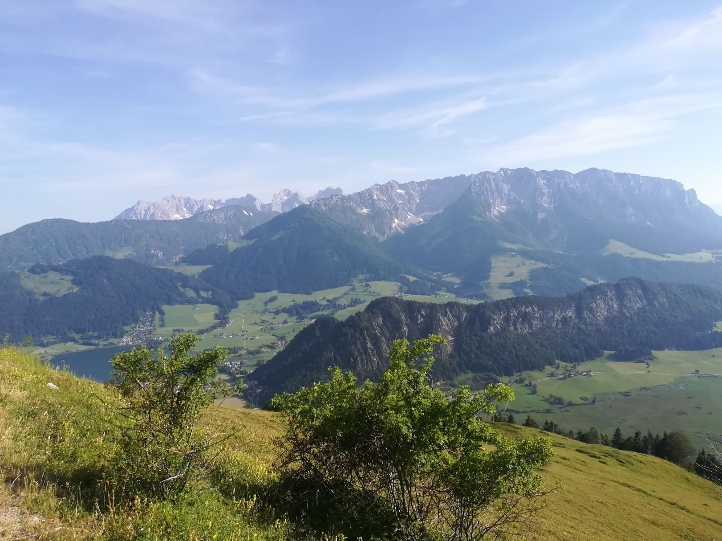
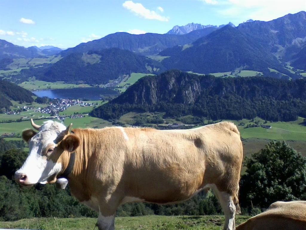
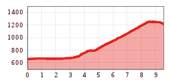
The route branches off from the cycle path Wildbichl (R 16) in Walchsee, Stauding area. Along the edge of the forest and meadows, later through forest area, the route leads into the Staudinger Graben. On the south side of the Brennkopf, the route winds through the Hageralm up to the Brennalm. 

Getting here

  • Arrival by public transport

    Bicycles are not allowed on public transport. Bicycles are allowed on buses with bicycle trailers.

  • Parking

    Parking is available in Walchsee at the tennis hall, on the lake promenade and at the Ramsbachstüberl.

More tours in the surrounding area

Newsletter

The mountain is calling? So does our newsletter!

In our monthly newsletter we reveal the best holiday tips for Tyrol.