Mountainbike-Tour Klausenbergrunde - Schüttäler - Leukental No. 248, 249

Kössen / Chiemgauer Alpen
Difficulty ratings: medium
Route length: 27.7 km
Duration: 3:30 h

Path No. 248, 249

Tour information

  • Requirement: medium
  • Length: 27.7 km
  • Duration: 3:30 h
  • Elevation uphill:564 hm
  • Elevation downhill:559 hm
Highest point1,027 m

Starting point

information office Kössen

Finishing point

information office Kössen
  • Fitness level 4 / 6
  • Technique 3 / 6

Best time of year

  • January
  • February
  • March
  • April
  • May
  • June
  • July
  • August
  • September
  • October
  • November
  • December

Trail condition

Asphalt, gravel

Equipment

Appropriate clothing, sturdy shoes, backpack, rain gear, mobile phone, sun cream, snack and drinks, possibly a camera.
Source: Kaiserwinkl

Description

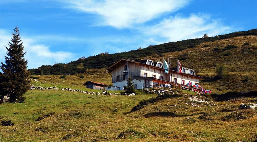
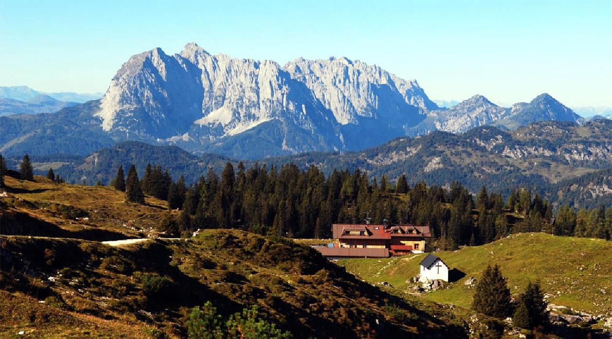
Starting point is the information office Kössen. Through the town center on the Hüttfeldstraße and continue to the bridge. From there continue to Loferberg, 150 m after the bus stop, turn left into the forest road. 2.3 km to Klausenberg and further 5.9 km, partly flat to moderately ascending, through a charming forest trail to the Schüttälern. Return on the "Leukentalradweg" to Kössen.

Getting here

  • Arrival by public transport

    Bicycles are not allowed on public transport. Bicycles are allowed on buses with bicycle trailers.

  • Parking

    Parking spot at the starting point - VZ Kaiserwinkl.

Newsletter

The mountain is calling? So does our newsletter!

In our monthly newsletter we reveal the best holiday tips for Tyrol.