Arrival by public transport
Bicycles are not allowed on public transport. Bicycles are allowed on buses with bicycle trailers.
Path No. 248, 249
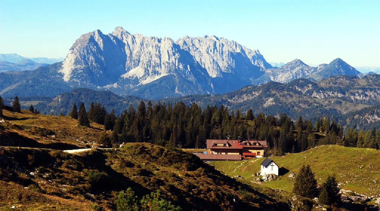
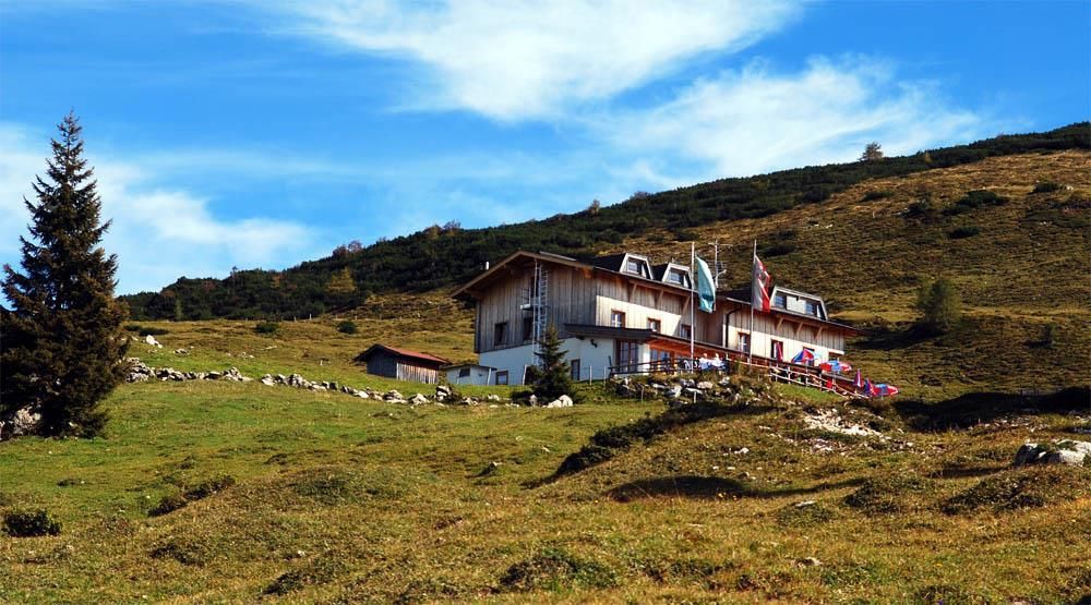
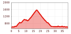
Starting point is the information office Kössen. Through the town center on the Hüttfeldstraße to the Hüttwirtsbrücke, before the bridge left, past the Adventure Club and continue to the bridge. From there continue to Loferberg, 150 m after the bus stop, turn left into the forest road. 2.3 km to Klausenberg and further 5.9 km, partly flat to moderately ascending, through a charming forest stretch to the Schüttälern. From here the trail branches off in the direction of Straubinger Haus. Follow the forest road to the end. Back it goes first the same route then at the junction keep left and on the "Leukentalradweg" back to Kössen.
Bicycles are not allowed on public transport. Bicycles are allowed on buses with bicycle trailers.
Parking spot is at the starting point - VZ Kaiserwinkl.
