The road through Kramsach and via Brixlegg leads to Reith in the Alpbachtal Valley and the Reitherkogelbahn cable car and up to the Kerschbaumersattel ridge, before the final descent of the day starts back down to the village of Alpbach.
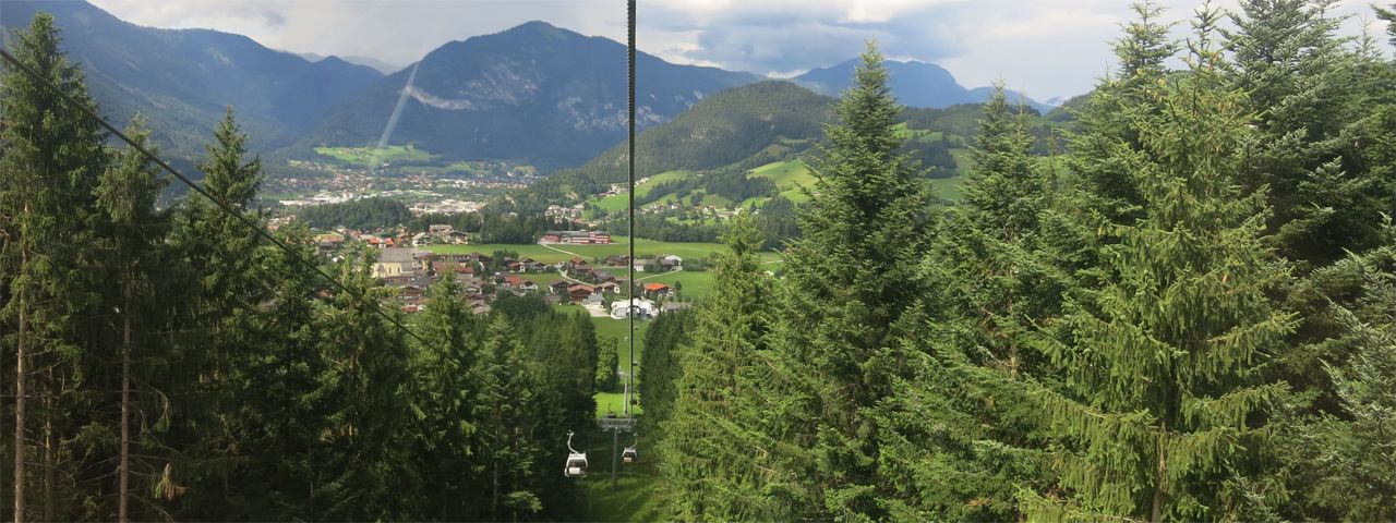
Trail description: From Steinberg am Rofan, riders take the forest road via Hinterberg to Pinegg. The short descent to Pinegg is followed by a fairly long climb on a tarmac road to Aschau, which in turn is followed by a slightly bumpy downhill section to Kramsach. After passing Kramsach, riders switch to the other side of the Inn River, head towards Brixlegg and climb up along hairpin bends up to Reith.
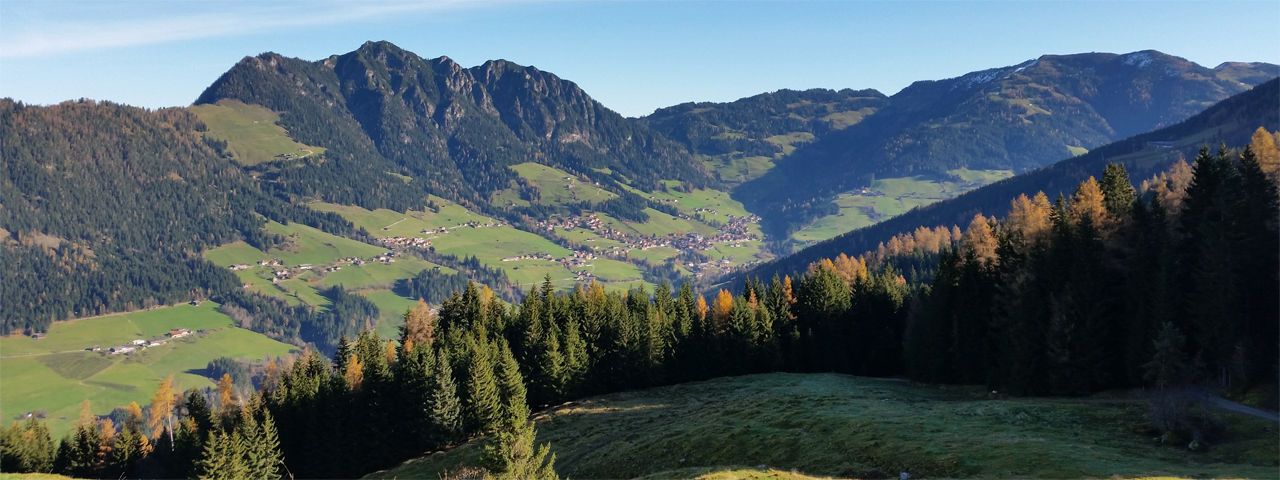
The Reitherkogelbahn cable car takes riders to the top, reaching an altitude of almost 1,200 metres. From the top station, riders continue uphill for short while before descending to the Kerschbaumer Sattel overlooking the Zillertal Valley. This is where riders switch to a different side of the mountain and climb for around 400 vertical metres to the Hochlindalm hut. From there, they ride down to Kolber and then into the valley to reach Alpbach, the finishing point of this stage.
