
Opening hours:Open today
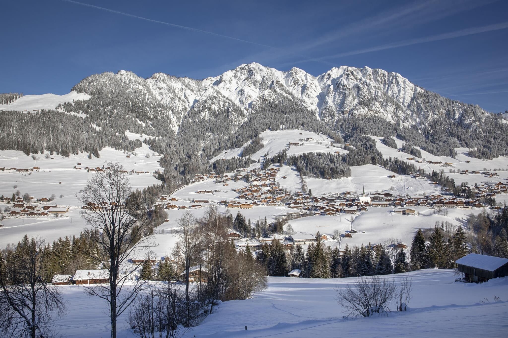
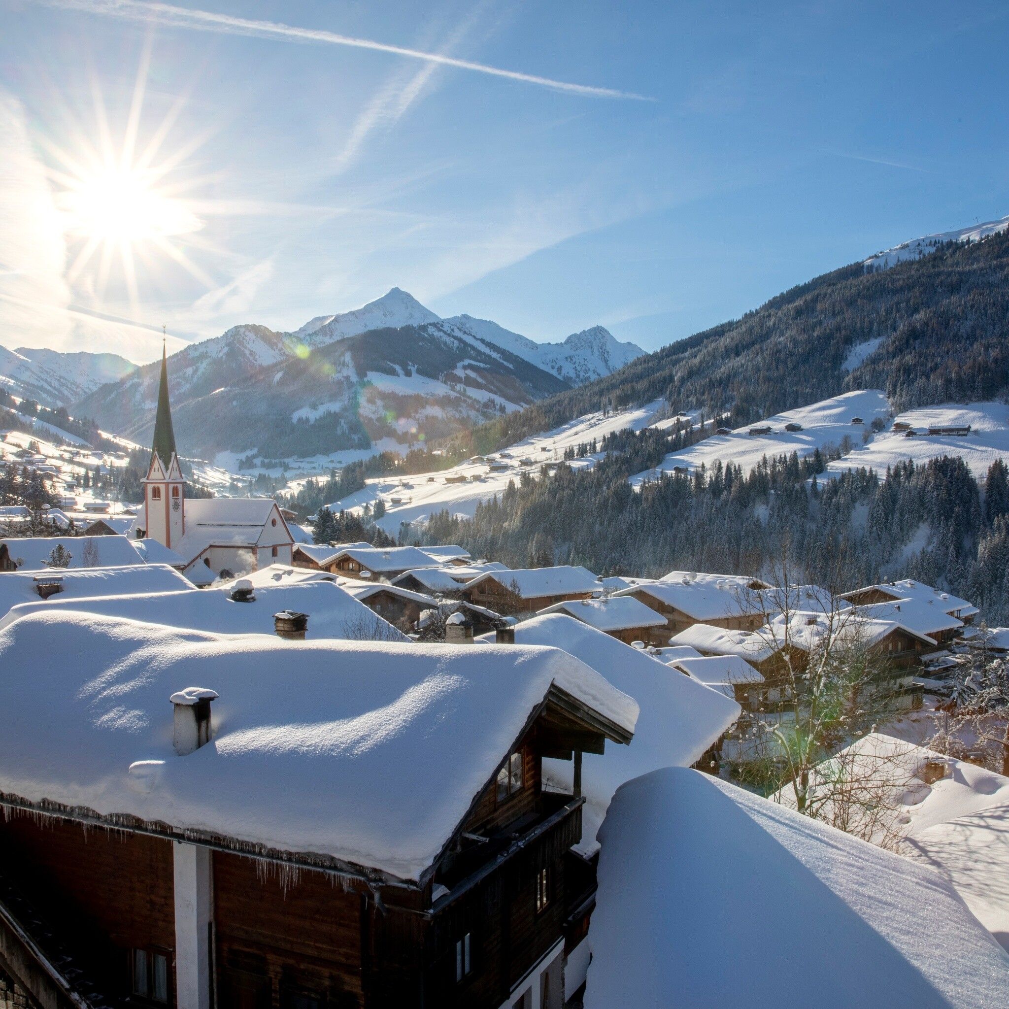
Place:Alpbach
:Restaurant, café
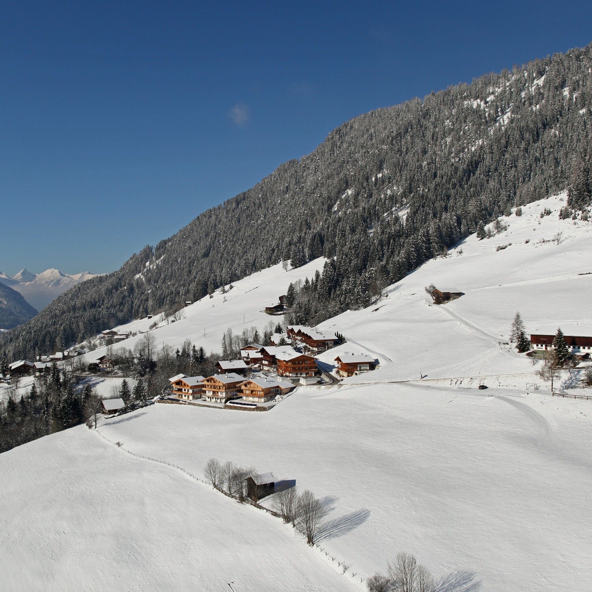
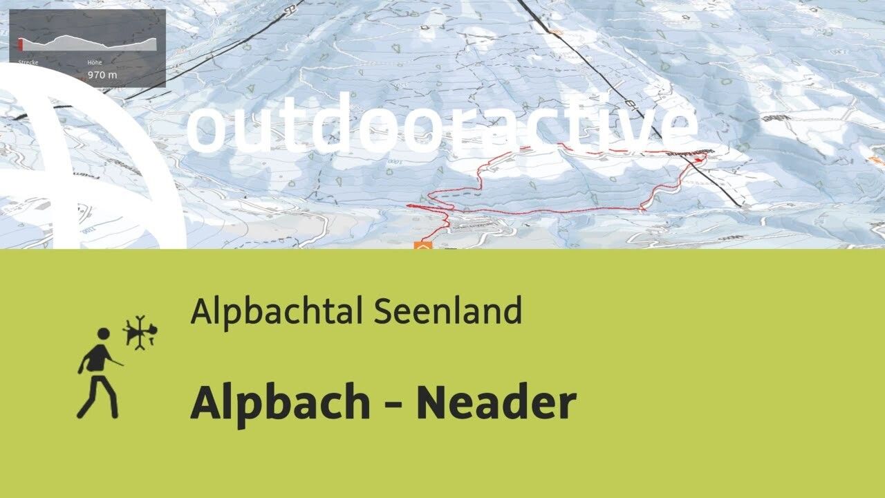
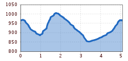
Hike to the other side of the valley from Alpbach
sturdy shoes
Below the church we take the path between Ski School Alpbach Aktiv and Ski Check, follow the path left downhill along the valley to the fork at the former indoor pool/storage house - keep left towards the storage house, along the cleared municipal road up to the Alpbach State Road - right about 150 m downstream and before the storage house go left over the bridge.
Now we follow the hiking trail A9 through the forest to the Oberhaus farm - continue right to Kolberhof - along the cleared municipal road over the bridge to the state road - right along it up to the storage house. From there back the familiar way to Alpbach village.
--> Note: Winter Hiking Behavior Rules
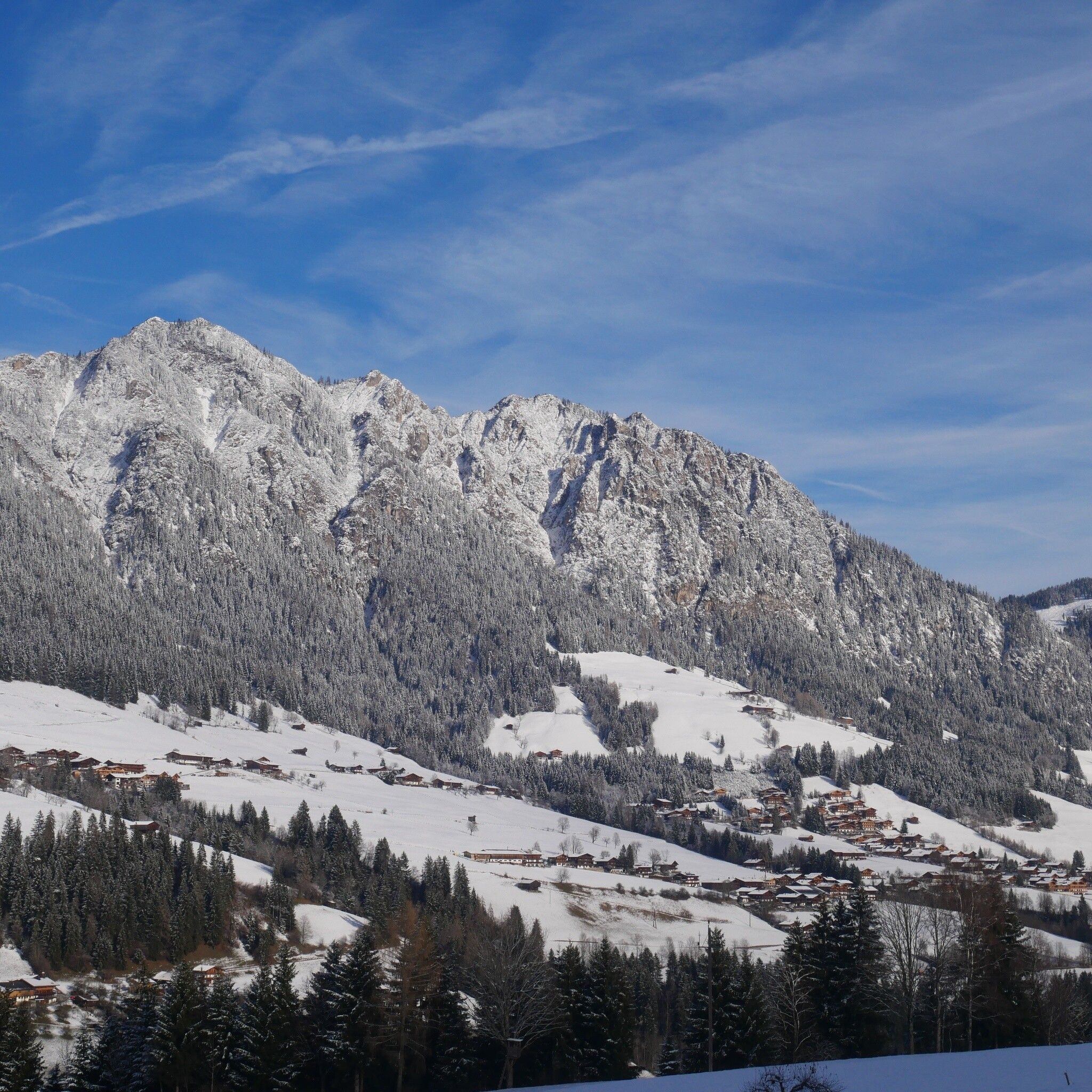
in front of the village center of Alpbach
