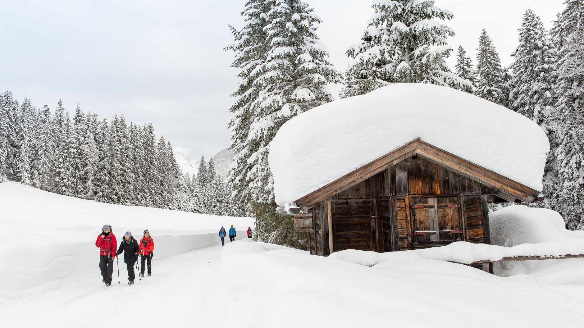
Long-distance hiking in winter? The winter long-distance hiking trail in the Seefeld region was the first of its kind and is our blueprint for all those that followed. So pack your warm hiking boots and set off through the snow-covered Leutasch Valley - four days, four stages, from accommodation to accommodation. No heavy rucksacks, just panoramic views, crunching snow and a relaxed arrival.
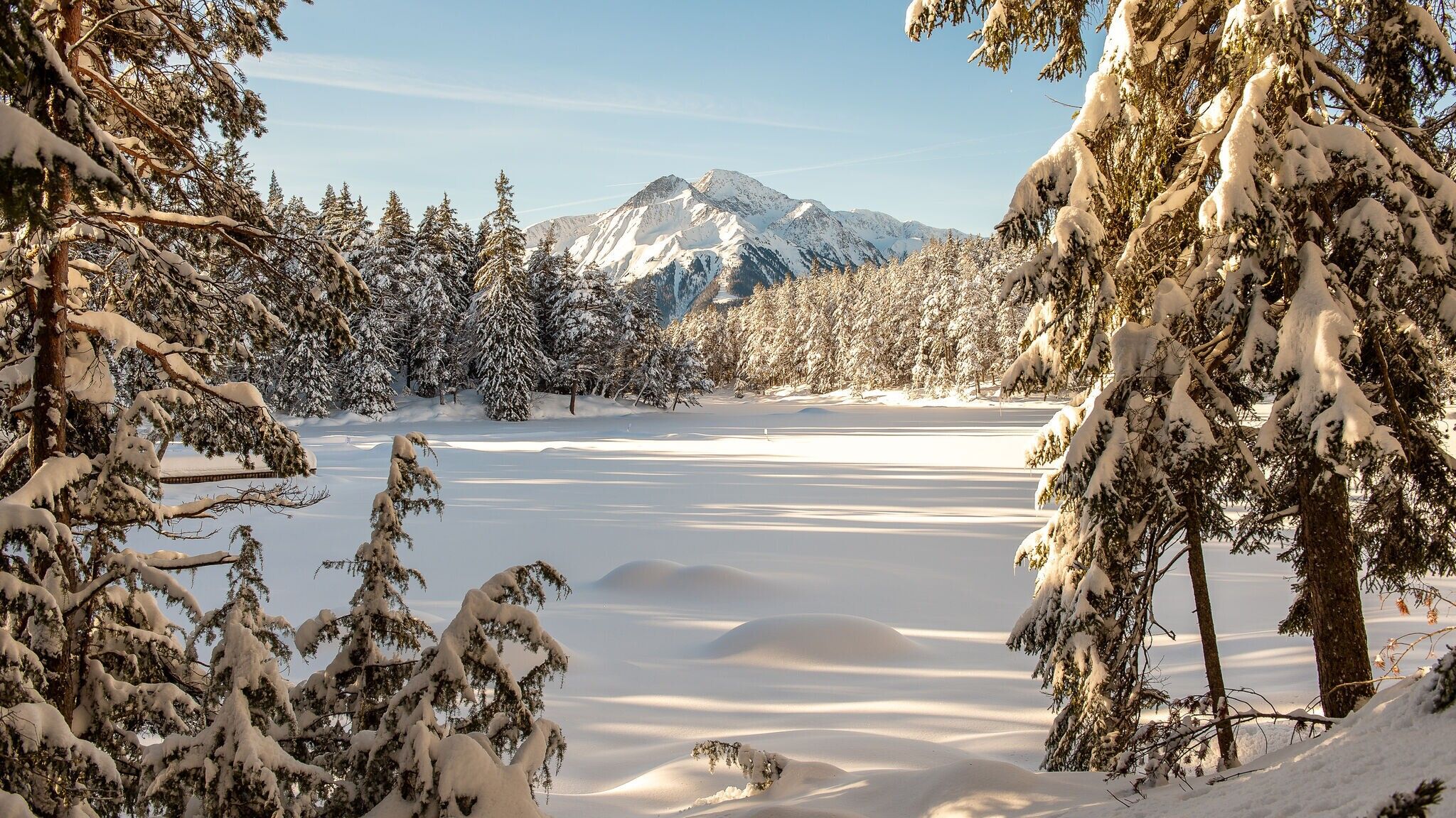
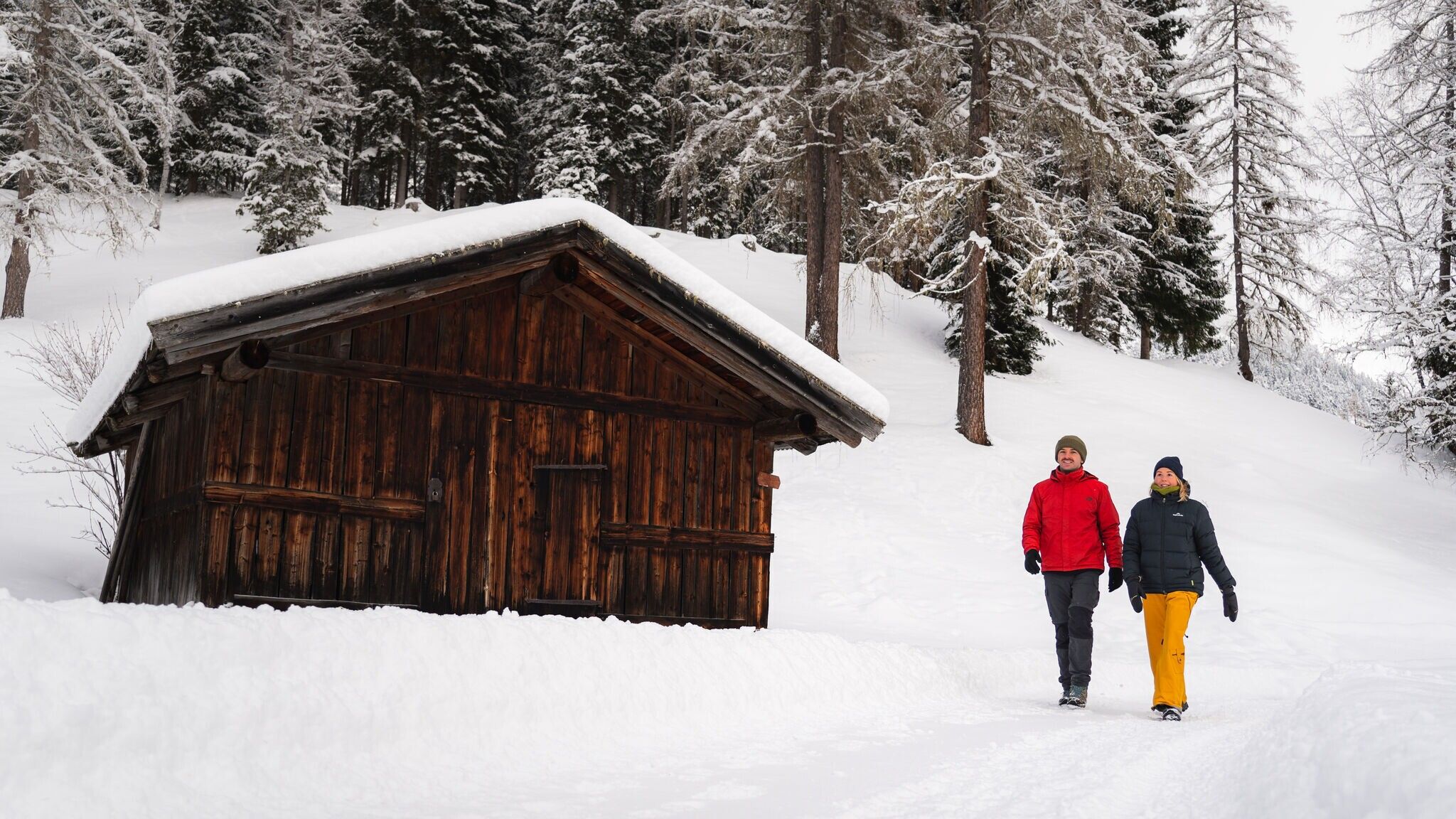
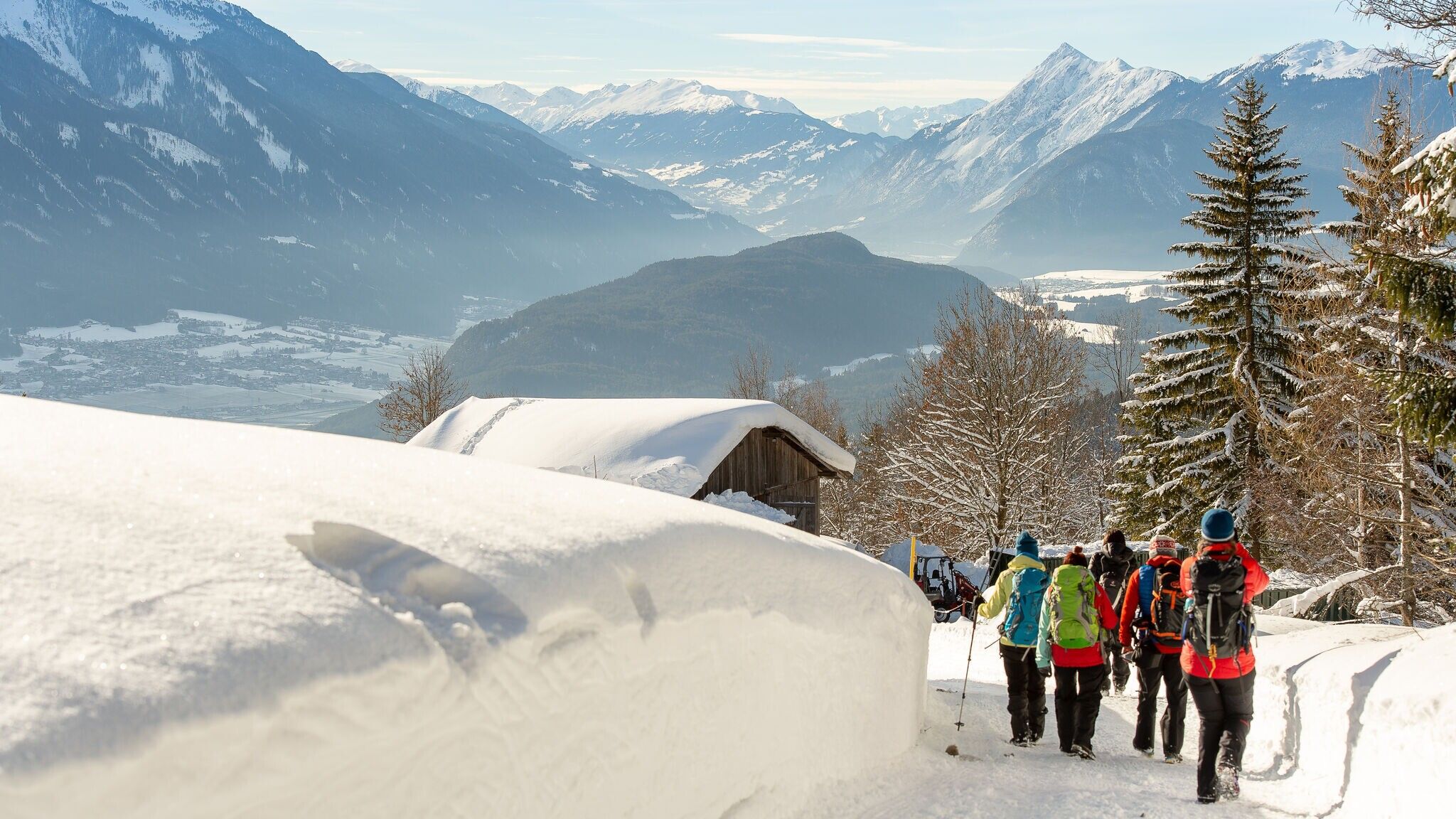
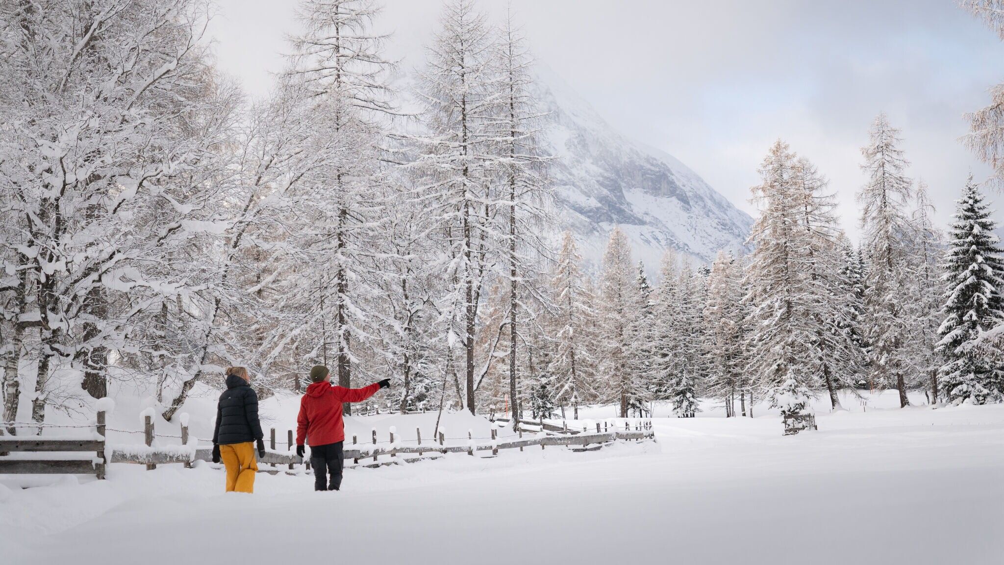
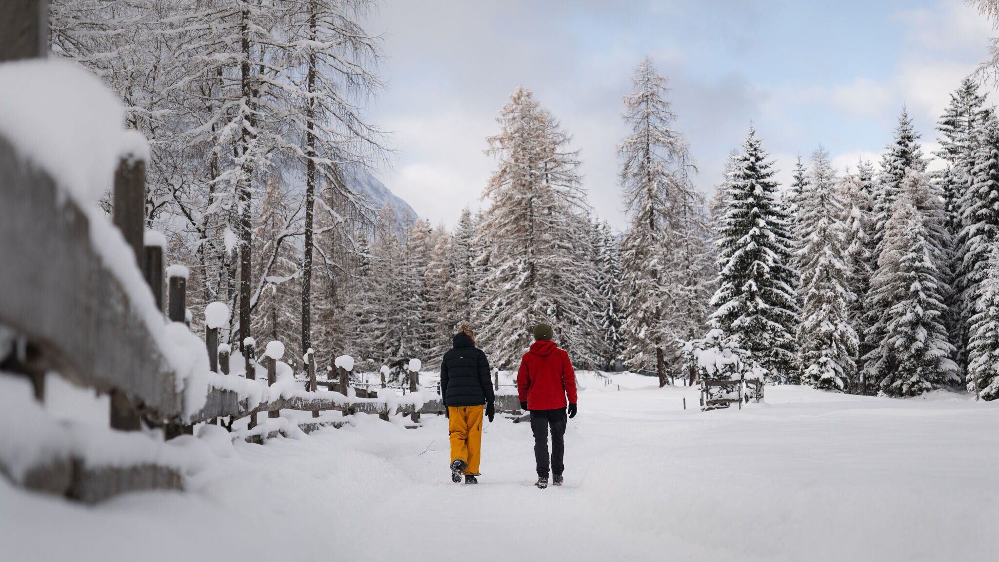
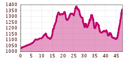
The long-distance winter hiking trail is a 4-day hiking tour through the idyllic Leutasch Valley in the Seefeld region. The routes lead through a winter wonderland with wide valleys, snow-covered forests and impressive mountain panoramas. The tour is moderately difficult and requires surefootedness and a good basic level of fitness. We recommend wearing spikes or shoe chains for icy passages, and hiking poles with large plates provide additional support. Highlights of the route are the snow-sure paths of the Leutasch Valley, excellent refreshment stops and relaxing overnight stays in charming hotels with half board and wellness access included. The snow-covered Hohe Munde and the peaks of the Wetterstein mountains never fail to impress from different angles. Perfect comfort is guaranteed by a daily luggage transfer between the accommodations - so you can enjoy the hike without the burden. The tour can be walked individually and is not a guided hike; a digital hiking app with all the important information is available to help with planning.
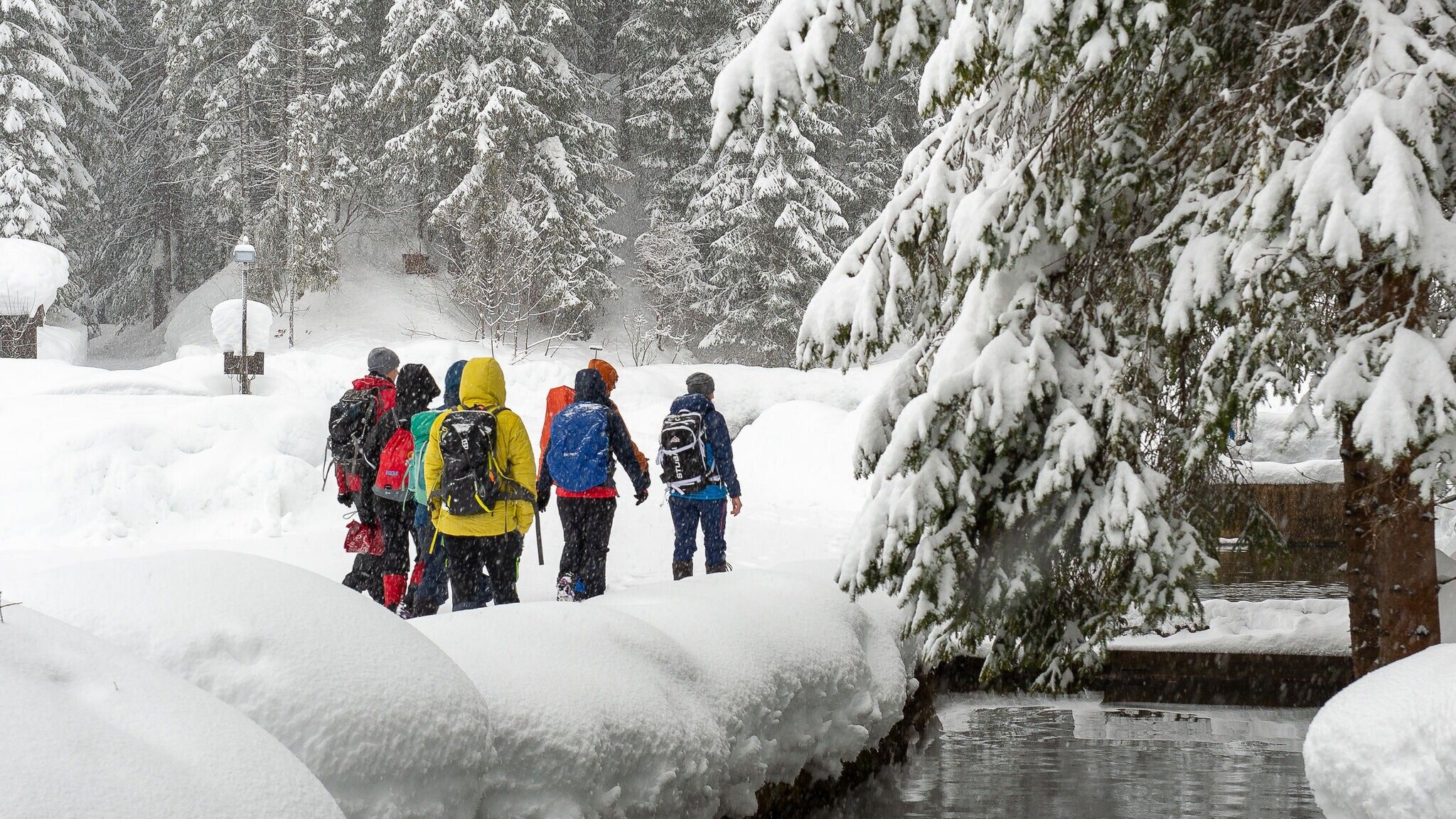
Wear multiple layers, warm gloves, hat, waterproof jacket and pants, as well as waterproof winter hiking boots.
For better support and comfort, poles and crampons (spikes) are helpful, especially in difficult conditions.
You can find detailed advice on the right equipment and a packing checklist here.
Immerse yourself in the winter idyll of Leutasch on this 4-day winter long-distance hike, the 1st winter multi-day hiking tour in the heart of Tyrol. You’ll hike from accommodation to accommodation, enjoy the comfort of luggage transport, and experience diverse stages with many scenic highlights.
Stage 1: From Burggraben/Schanz to Weidach
The first stage starts in the Leutasch district of Burggraben/Schanz and follows the idyllic Achweg through forests and the open Leutasch Valley to Weidach.
Stage 2: From Leutasch to Mösern
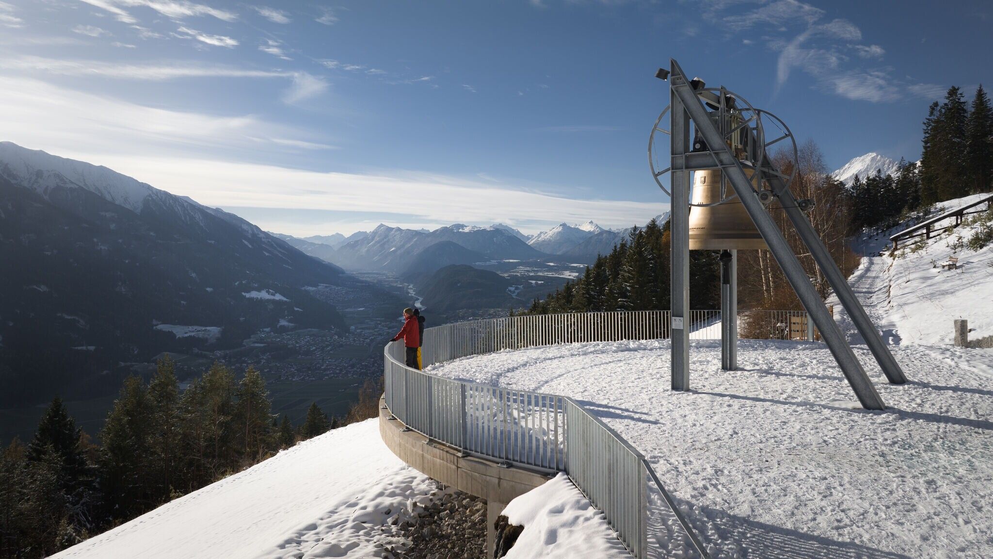
The second stage begins in Leutasch and leads via the Fludertal and Wildmoos to the Wildmoosalm and further to the Lottenseehütte. After an optional stop, the trail continues to Mösern, passing the Möserer See and the impressive Peace Bell of the alpine region.
Stage 3: Through the Katzenloch to Leutasch
The third stage starts in Mösern and follows scenic panoramic paths to the Ropferstub’m. After an optional break, the route continues through the Katzenloch towards Leutasch, then along the Unteren and Oberen Wiesenweg to the Weidachsee.
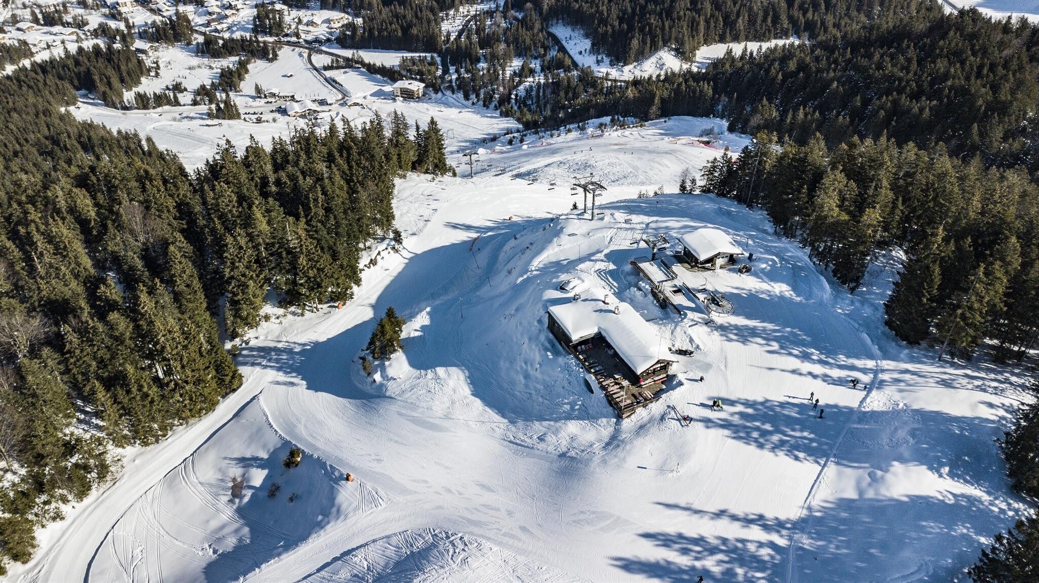
Stage 4: Up to the Katzenkopf
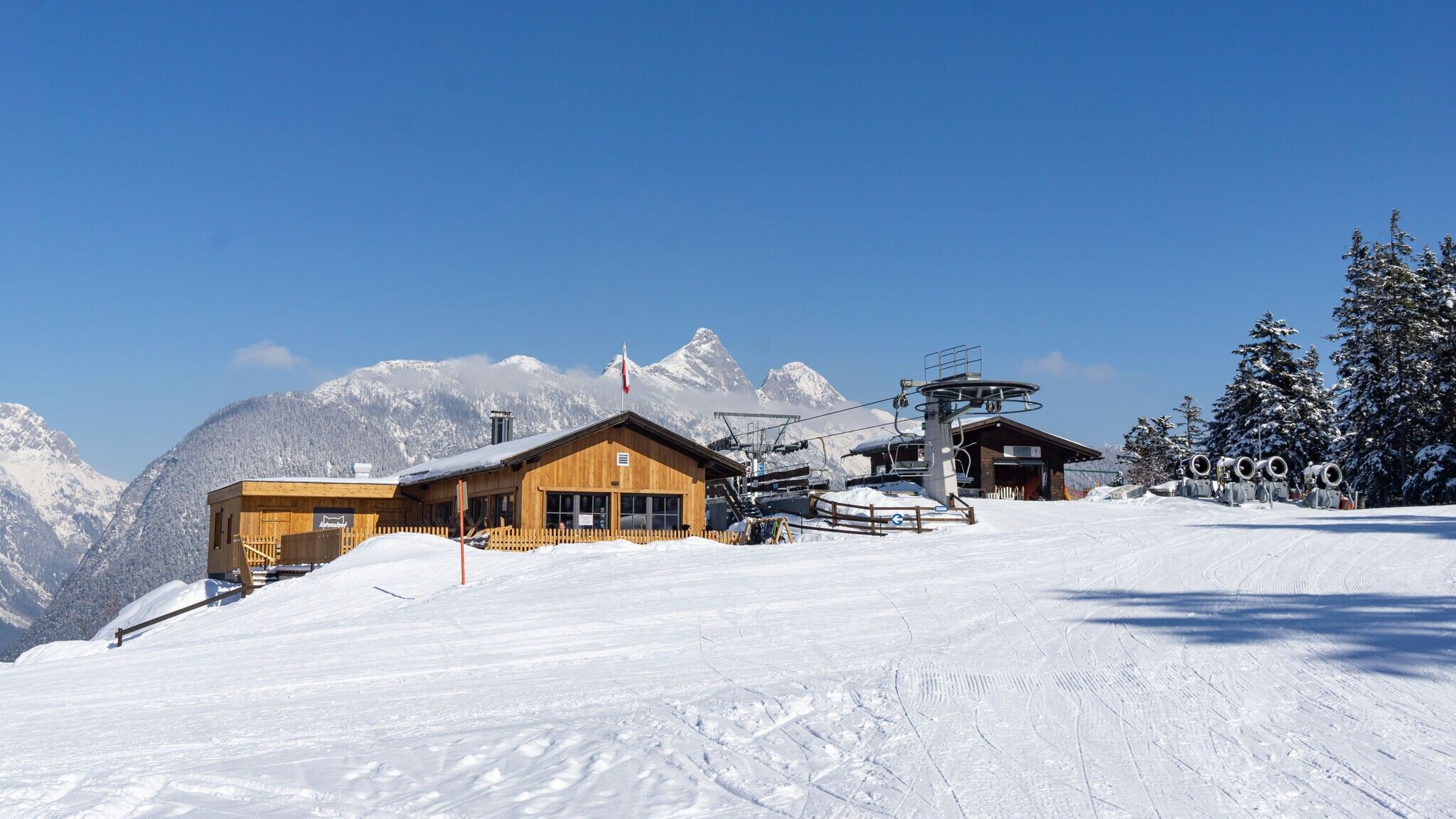
The fourth and final stage of the 1. Winterweitwanderweg Tirols leads from Leutasch up to the Katzenkopf. At the top, you’ll be rewarded with a stunning panoramic view and regional delicacies at the Katzenkopfhütte. Those seeking a little extra fun can rent a tobbogan (sled) at the valley station for the descent or take the Katzenkopflift for a relaxed ride back down.

