Hatting - Polling - Hatting

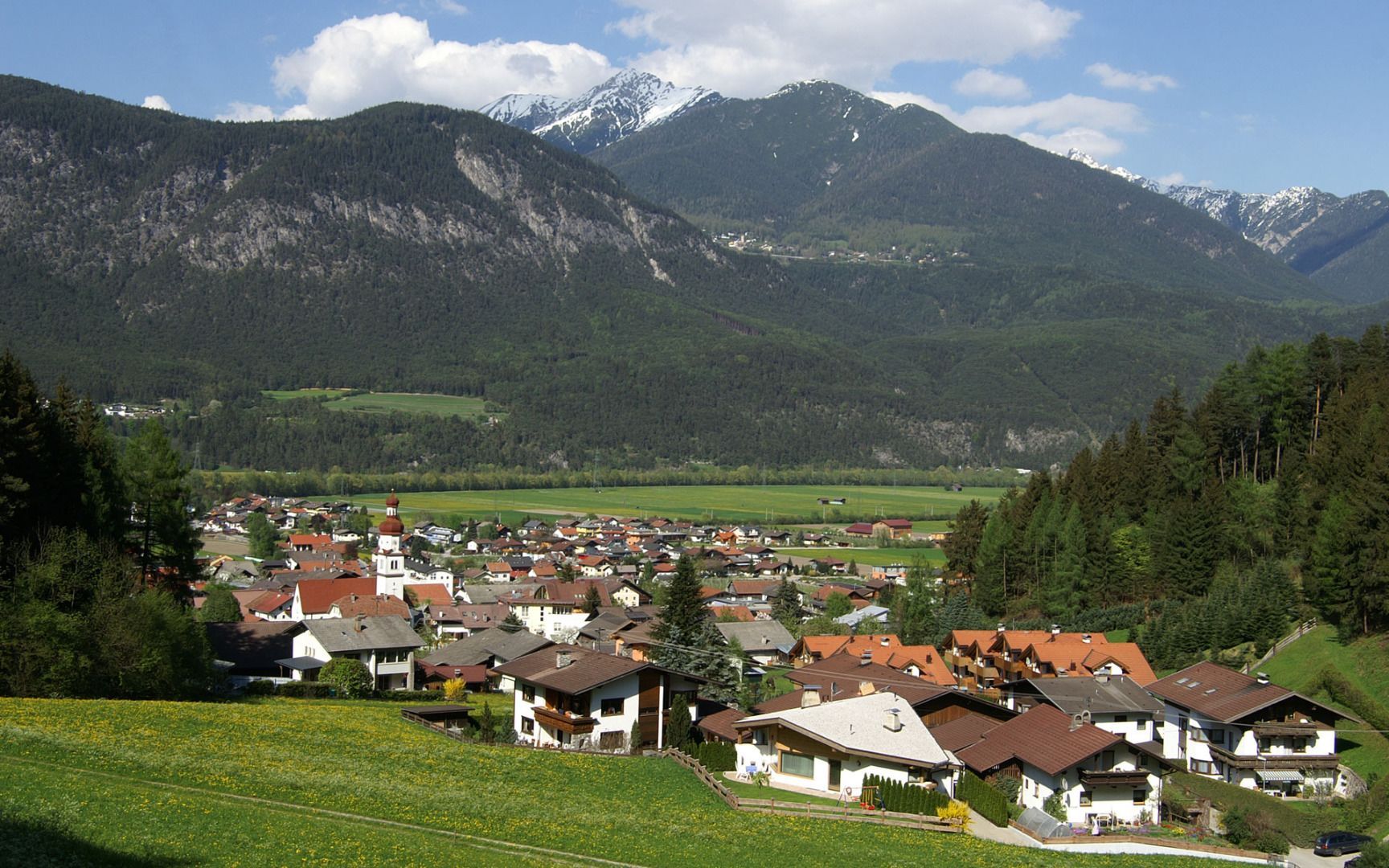
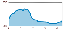
Start at the car park on the eastern side of the village hall (Gemeindesaal) in Hatting, cross the school yard and head west towards the parish church, before following the Way of St. James to Polling. From the village square, head north along the road and then follow the path that leads across the fields to the railway underpass and the River Inn. The route then heads east along the riverbank to the sports ground in Hatting, before continuing on a country lane along the railway line to Gasthof Neurauter. The final section takes you south along the road to the centre of Hatting. From there, it is not far to the starting point near the parish church.
