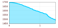
Winterhiking with glacer view
Winter hiking boots with grippy treaded soles
Clothing suitable for winter conditions: breathable, warm, quick-drying base layers, water- and wind-resistant outer layers, hat, gloves
Mobile phone with a full battery
Trekking poles
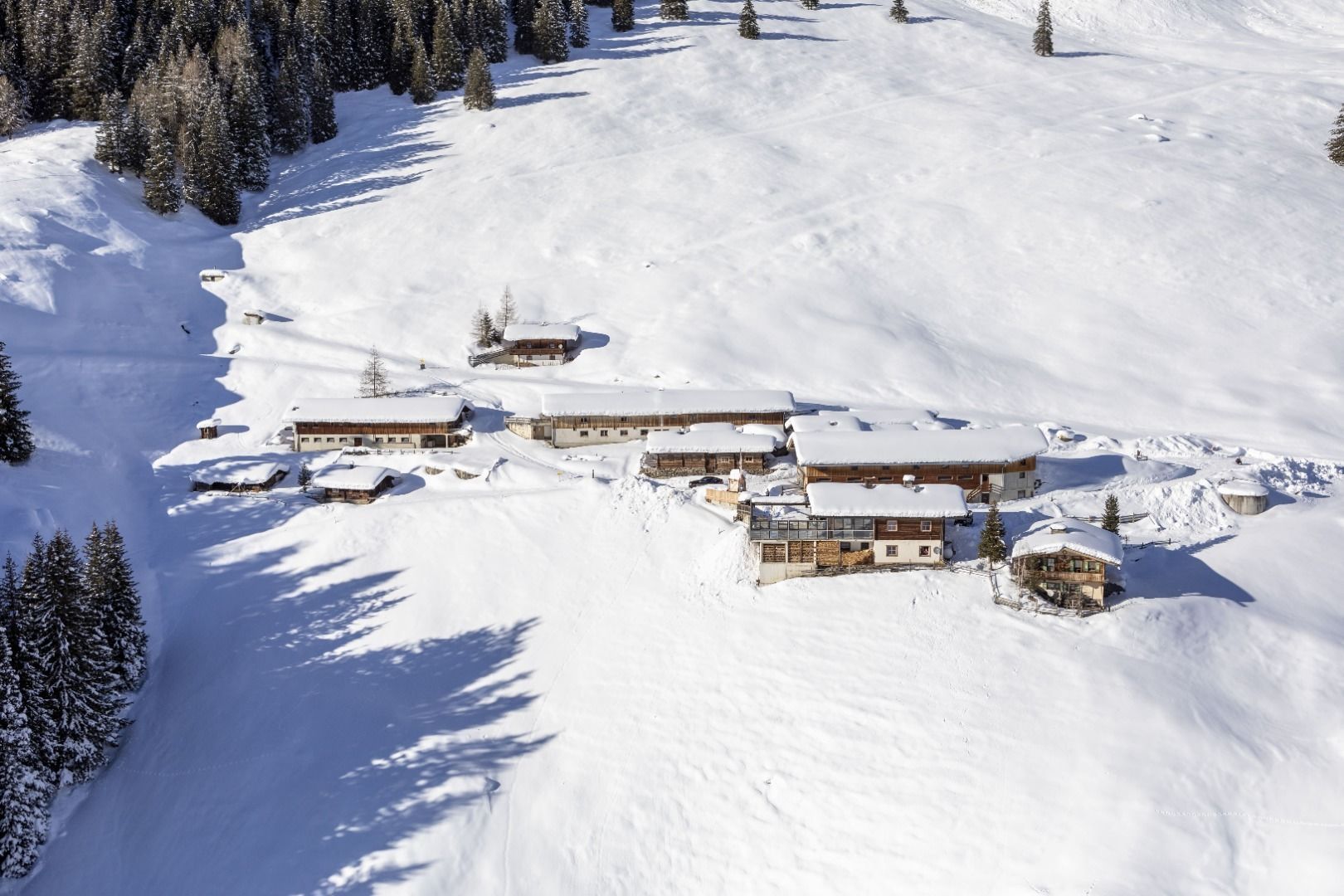
Sun protectionWe start at the Bichlalm and keep below the hut on the prepared descent path no. 15 into the valley to Hintertux. Then we turn above the fence onto the Bitzenweg in the direction of the avalanche dam. Follow this on the wide gravel path and decide at the tunnel whether we want to descend to the end of the valley with the valley station of the Hintertux glacier lift or through the tunnel and into the center of Hintertux.
