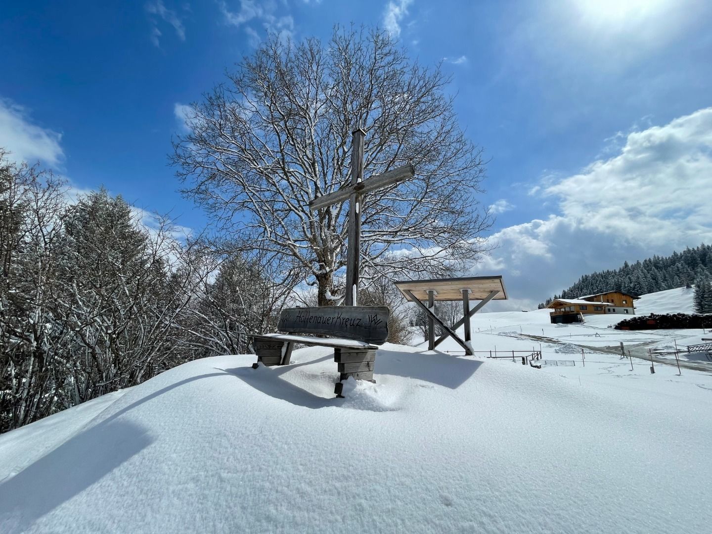
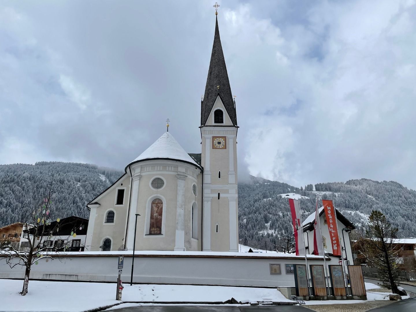
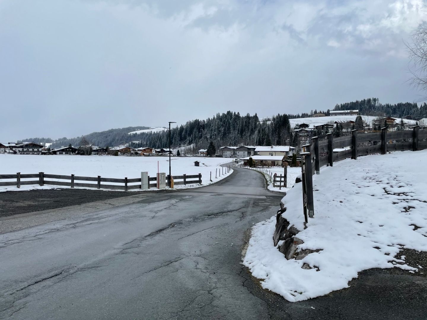
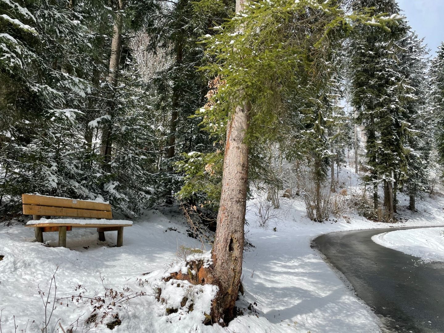
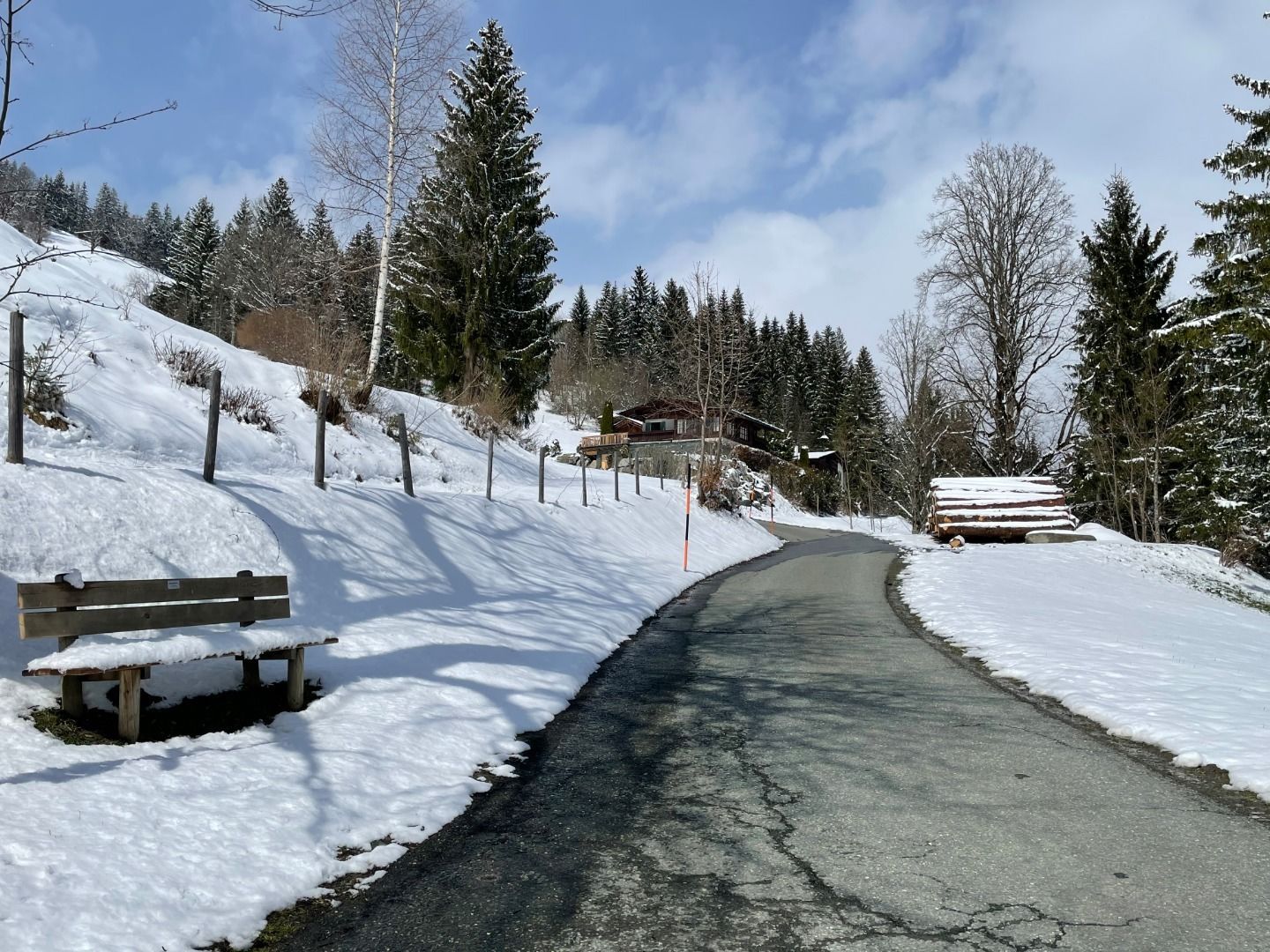
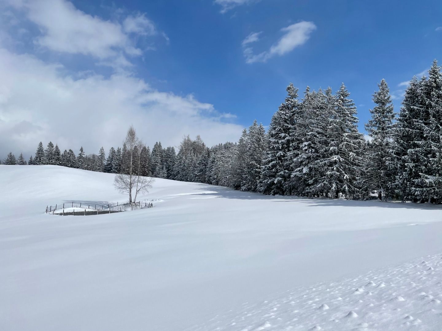
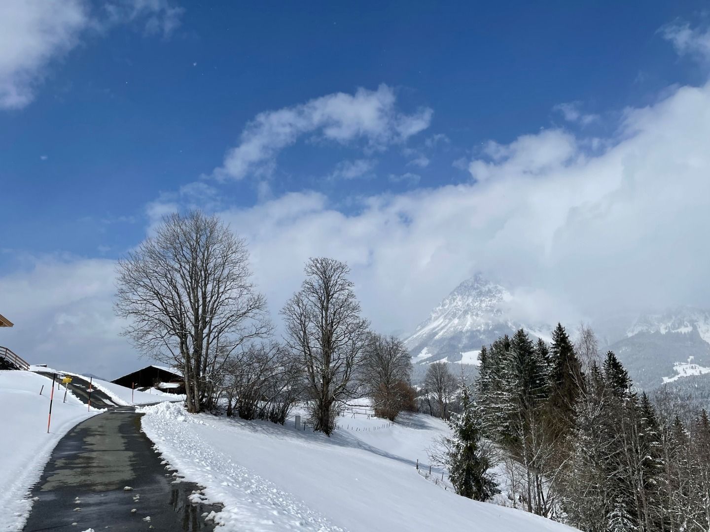
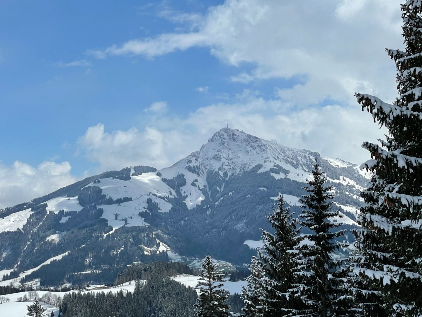
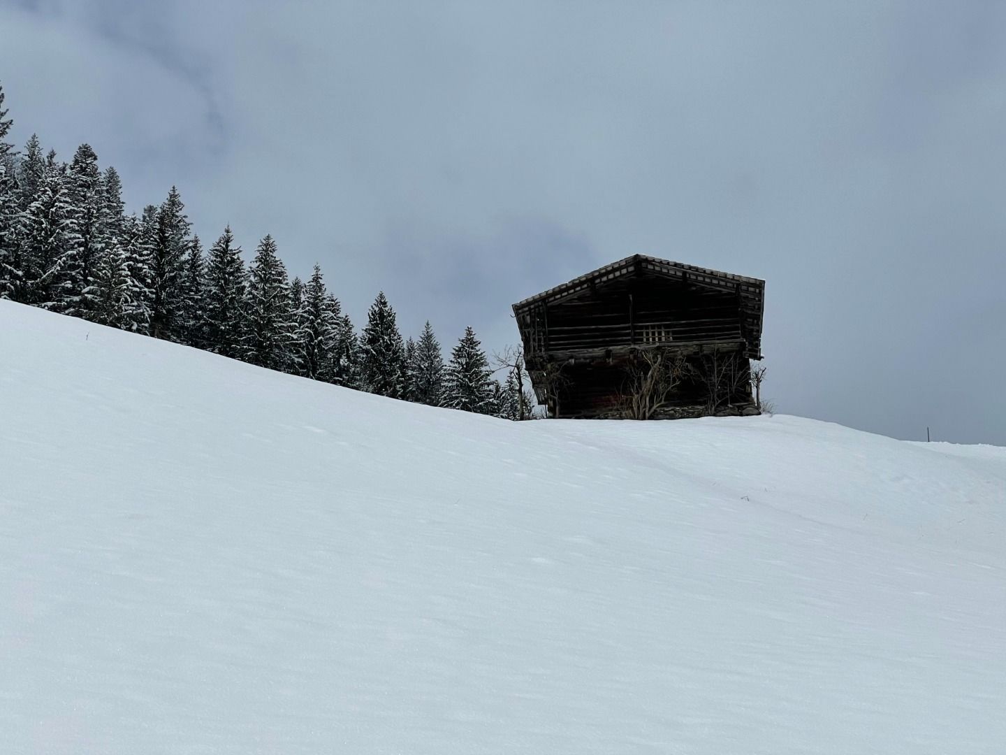
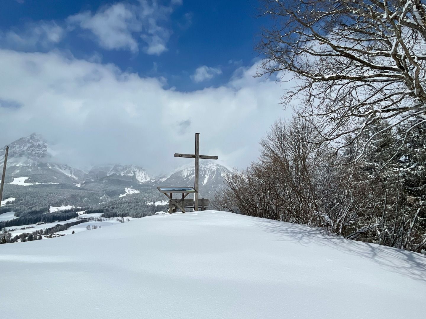
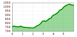
DescriptionGemeindeamt Reith (community office) - Kirche - Reinache - Winkel - Astberg - Hollenauer Kreuz
Krumma Reith Winter © Neumayr beim Krumma, Café, Brot & mehrOpening hours:Open todayPlace:Reith:cafésee restaurant detailssee restaurant details: beim Krumma, Café, Brot & mehr
Reitherwirt © Restaurant Reitherwirt ReitherwirtOpening hours:Today closedPlace:Reith:Restaurant, Tavernsee restaurant detailssee restaurant details: Reitherwirt
Give feedback for a chance to win a special holiday experience!Click here for the surveyClick here for the survey