
Opening hours:Open today
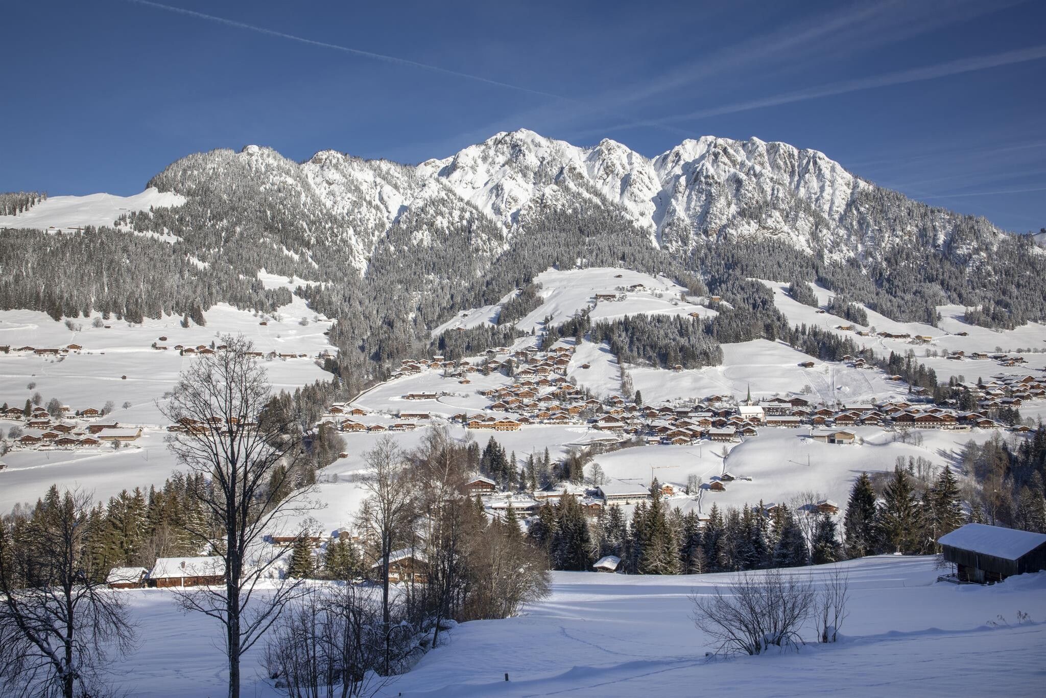
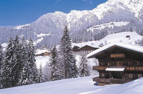
Place:Alpbach
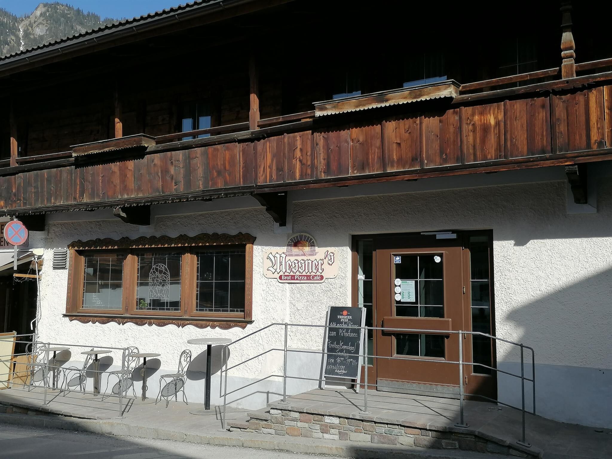
:Restaurant
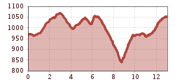
Circular hike – via the "sunny side" to Inneralpach and the "inner side = shady side" back to the starting point. From Inneralpbach you can also take the bus to return!
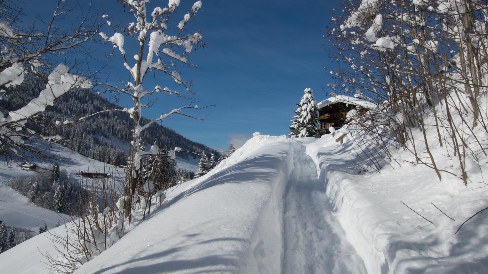
sturdy shoes
The pleasant hike starts in the village center of Alpbach. Below the church, you pass the Hotel Alpbacherhof and cross the small Mühlbach bridge after the fork. We leave the entrance to the Mühlbach path on the left and follow path A4 to the right. Past the Stoffen farm, at the fork first turn left then immediately right on path A7 (Middle High Trail).
The sunny path takes you past beautiful farmhouses. Along the route is even a filming location for the ARD series Wildbach from the 1990s – "The Kramerhof", a beautiful old farmhouse! Past the Brechlstube, path A7 continues towards Inneralpbach. At the elementary school walk downhill on the street (approx. 200m) and after the fire station turn left.
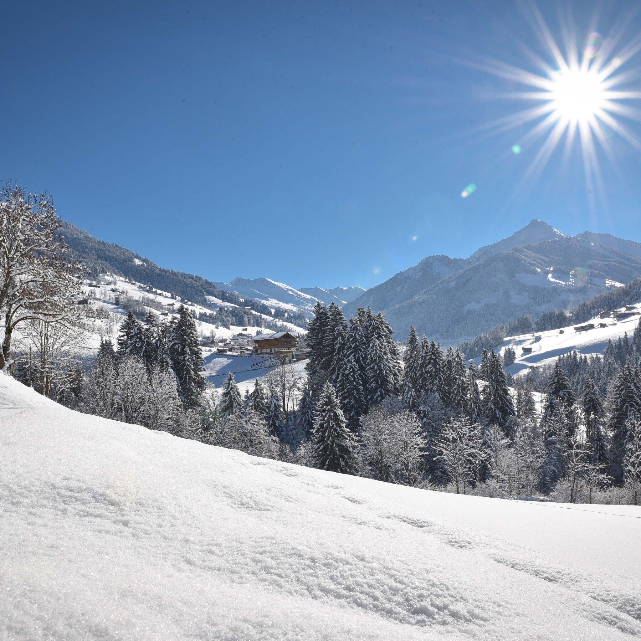
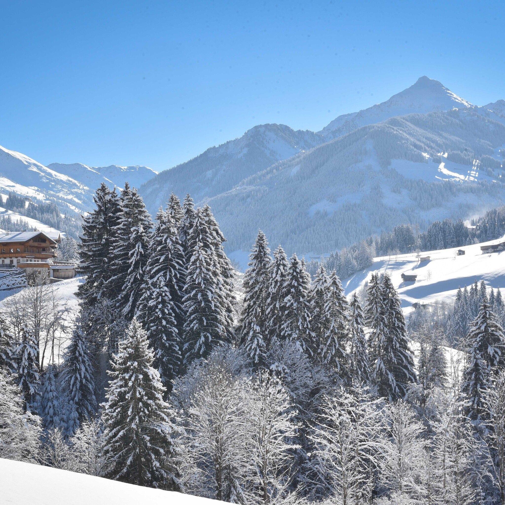
The circular hike continues after crossing the Alpbach stream and following path A11. You pass the districts Ausserache – Ausserkafner – to Dornegg – Klingler – Oberhaus to path A9 and continue towards Kolberhof. Back to Alpbach, follow the street downhill to the bridge, turn left towards the Alpbach municipal recycling center and from there approx. 100 m downhill. Before the bridge turn right and take the footpath towards Alpbach – Unterknolln – Alpbach village.
--> Note: Winter hiking rules of conduct
in front of the village center


