Mountain hikes Views of the Niederkaiser

St. Johann in Tirol / Kaisergebirge
Difficulty ratings: easy
Route length: 11.4 km
Duration: 3:15 h

Country Idyll.

Tour information

  • Requirement: easy
  • Length: 11.4 km
  • Duration: 3:15 h
  • Elevation uphill:158 hm
  • Elevation downhill:158 hm
Highest point819 m

Starting point

St. Johann in Tirol - bridge Großache

Finishing point

St. Johann in Tirol - bridge Großache
  • Fitness level 2 / 6
  • Technique 1 / 6

Features

  • Circular route

Best time of year

  • January
  • February
  • March
  • April
  • May
  • June
  • July
  • August
  • September
  • October
  • November
  • December

Trail condition

Gravel & asphalt

Equipment

- outdoor clothing
- sturdy shoes
- Sufficient food and drinks
- First aid kit
- Mobile phone with full battery & charger
- Hiking map & guide literature
- GPS device or download the GPS data to your mobile phone if necessary
- Sun protection (sunglasses, sun cream, cap)
- Rain protection
- Cash
Source: Kitzbüheler Alpen - St. Johann in Tirol

Description

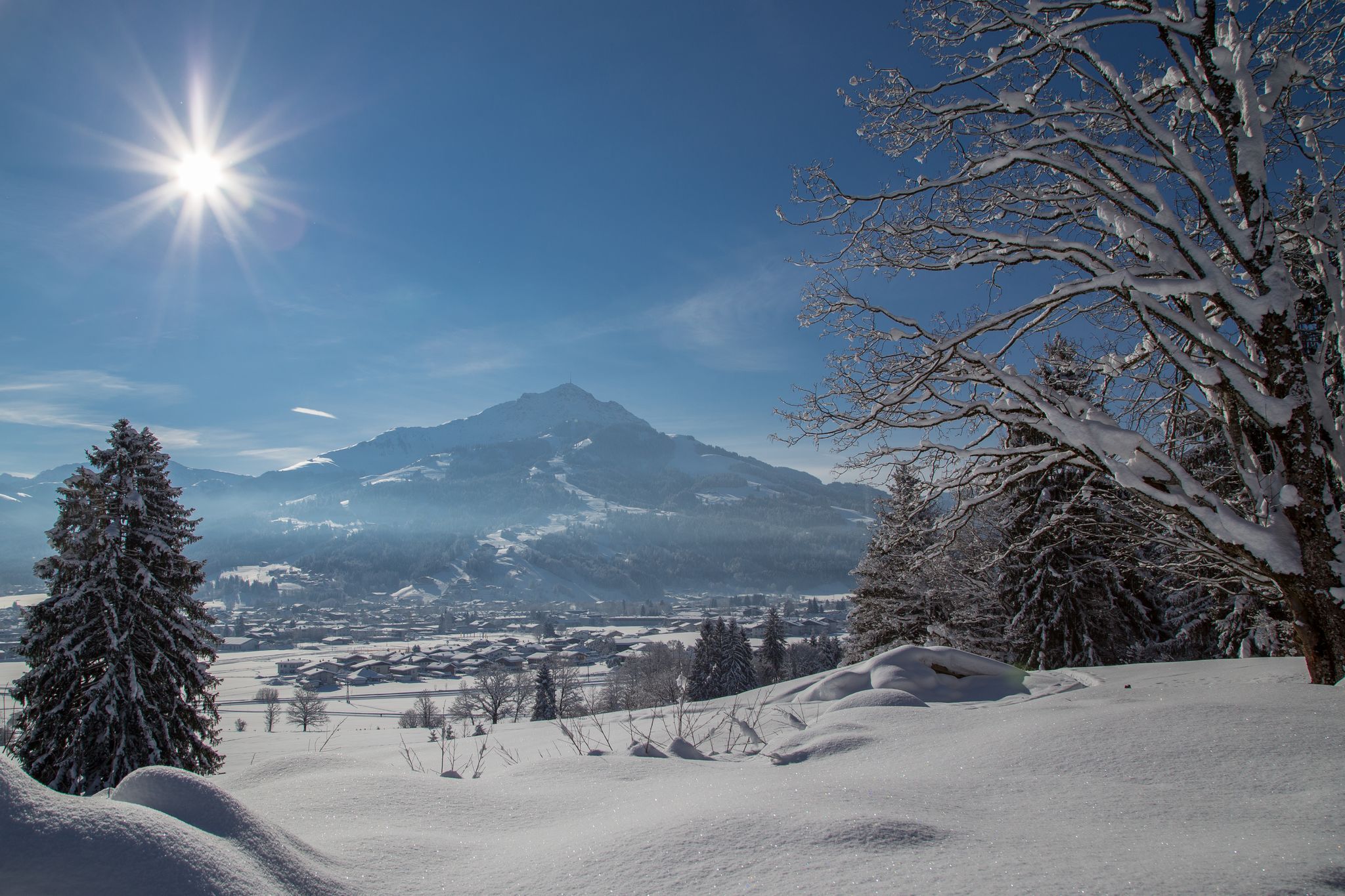
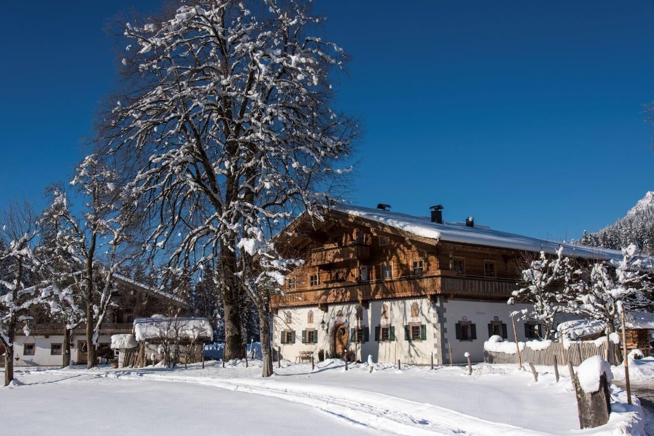
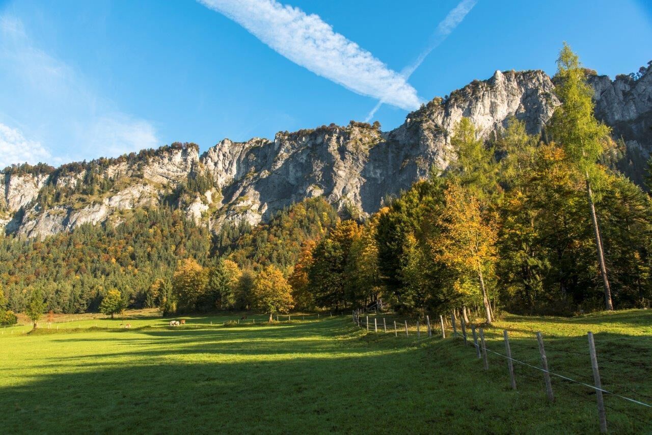
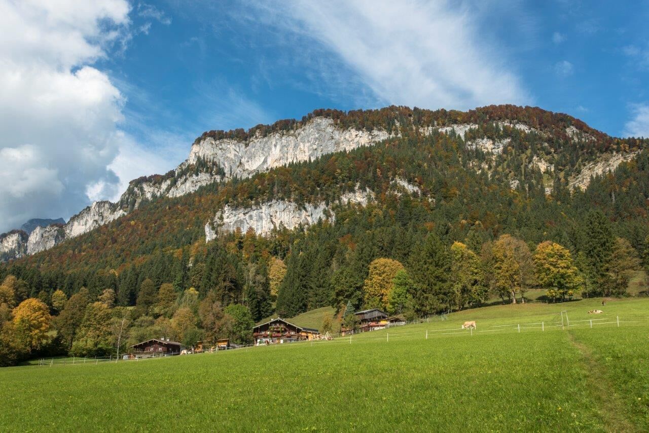
From the center of St. Johann in Tirol, walk to Bärnstetten where Tirolean farmhouses and modern architecture coexist. Continue along a sunny trail into a less populated area the Hinterkaiser and further on to the Rummlerhof. Occasionally views of St. Johann in Tirol open up. However, more striking are the views of the Niederkaiser range and the rugged Kaiser mountains. The trail continues through a quiet forest, which is especially beautiful when it’s covered in snow and frost. At the crossing, it’s a short walk to the picturesque Granderhöfe farmhouses. The central building dates from the gothic period and boasts some interesting frescoes from the 18th century. The hike then continues to the hamlet of Rettenbach. At Innsbruckerstraße, pick up the footpath along River Reither Ache and follow it back to of St. Johann in Tirol.


Nearby huts and mountain restaurants

Getting here

  • Arrival by public transport

    Bus: Linie 4000, 4012, 4060 Bus stop: Haltestelle St. Johann in Tirol Steinlechnerplatz
    Train: 201 Giselabahn Bahnhof St. Johann in Tirol

    Bus and traintimes: 
    kitzalps.cc/mobile
     

  • Parking

    Parking place Steinlechnerplatz (you will have to pay a parking fee)

More tours in the surrounding area

  • Schnackler Adventure Trail

    Difficulty: easy
    Length: 2.0 km Duration: 0:45 h Elevation uphill: 130 m
  • Alpine Outdoor Gallery

    Difficulty: easy
    Length: 3.4 km Duration: 1:00 h Elevation uphill: 117 m
  • Wilder-Kaiser-Steig - Detour

    Difficulty: difficult
    Length: 33.0 km Duration: 16:49 h Elevation uphill: 2,311 m
  • Eagle Walk Stage 01: St. Johann in Tirol - Gaudeamushütte

    Difficulty: medium
    Length: 13.0 km Duration: 5:00 h Elevation uphill: 1,060 m
  • Scenic River Trail Großache

    Difficulty: easy
    Length: 14.3 km Duration: 3:30 h Elevation uphill: 20 m
  • Bichlachrunde

    Difficulty: easy
    Length: 10.5 km Duration: 3:30 h Elevation uphill: 295 m
  • Angerer Alm

    Difficulty: medium
    Length: 5.7 km Duration: 2:45 h Elevation uphill: 652 m
  • Eifersbacher Wasserfall

    Difficulty: medium
    Length: 5.9 km Duration: 2:30 h Elevation uphill: 241 m
  • Kaiserbachtal - Feldberg - Stripsenjoch

    Difficulty: medium
    Length: 21.0 km Duration: 9:00 h Elevation uphill: 1,170 m
Newsletter

The mountain is calling? So does our newsletter!

In our monthly newsletter we reveal the best holiday tips for Tyrol.