Winter hike Winter hiking path Galtwiesen

closed
Arzl im Pitztal / Ötztal Alps
Route length: 2.4 km
Duration: 0:45 h

Winter hiking path Galtwiesen

Tour information

  • Length: 2.4 km
  • Duration: 0:45 h
  • Elevation uphill:80 hm
  • Elevation downhill:80 hm
Highest point1,241 m

Starting point

Car park Galtwiesen lift

Finishing point

Car park Galtwiesen lift
  • Fitness level 2 / 6
  • Technique 1 / 6

Features

  • Circular route
  • Suitable for families

Best time of year

  • January
  • February
  • March
  • April
  • May
  • June
  • July
  • August
  • September
  • October
  • November
  • December

Trail condition

Winter hiking path
Source: TVB Pitztal

Description

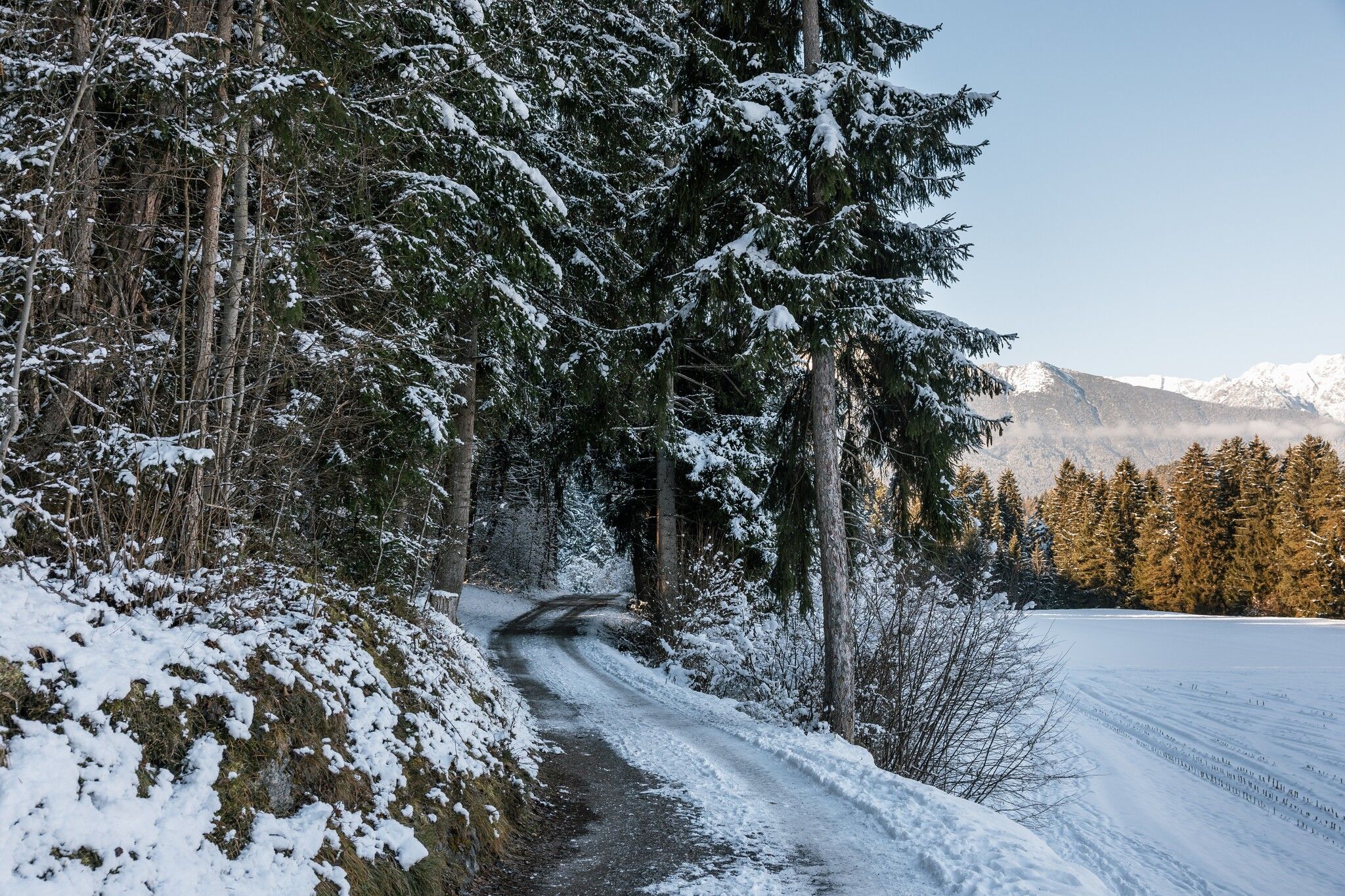
Starting at the Galtwiesen car park follow a road past the Jausenstation Waldeck to the hamlet of Krabichl in Leins. Hiking time: 45 minutes return. The Jausenstation is a perfect place for a refreshment stop on your return.

Nearby huts and mountain restaurants

Getting here

  • Parking

    Galtwiesenlift car park

Newsletter

The mountain is calling? So does our newsletter!

In our monthly newsletter we reveal the best holiday tips for Tyrol.