Kössener Runde

Kössen / Chiemgauer Alpen
Route length: 6.5 km
Duration: 1:00 h

Kössener Runde

Tour information

  • Length: 6.5 km
  • Duration: 1:00 h
  • Elevation uphill:77 hm
  • Elevation downhill:69 hm
Highest point659 m

Starting point

Infobüro Kössen

Finishing point

Infobüro Kössen
  • Fitness level 3 / 6
  • Technique 3 / 6

Best time of year

  • January
  • February
  • March
  • April
  • May
  • June
  • July
  • August
  • September
  • October
  • November
  • December

Description

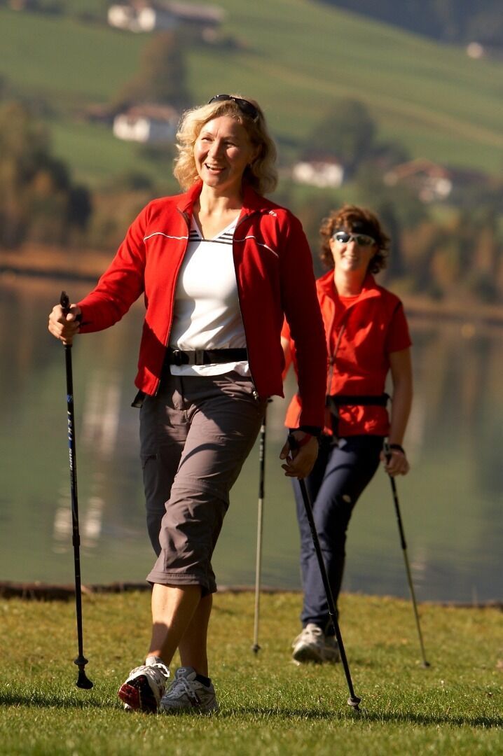
From the information office in Kössen over the Mühlbachweg to the Staffenbrücke. There follow the path along the Ache, over the Kohlsteg, about 1 km along the shore to the Hüttwirtbrücke. Cross this and then right past the outdoor center to the district Blaik. Pass the farm Grünbach and follow the Moserbergweg to the right. Across the Feilenbergweg on the farm Exenberg, down over the Schlechterhöhe to Kegelboden over the route back to the center.

Getting here

More tours in the surrounding area

Newsletter

The mountain is calling? So does our newsletter!

In our monthly newsletter we reveal the best holiday tips for Tyrol.