
Difficulty:
easy
Length:
33.0 km
Duration:
8:00 h
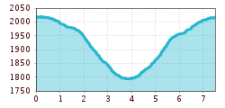
Elevation uphill:
740 m
The Zirmbachalm run
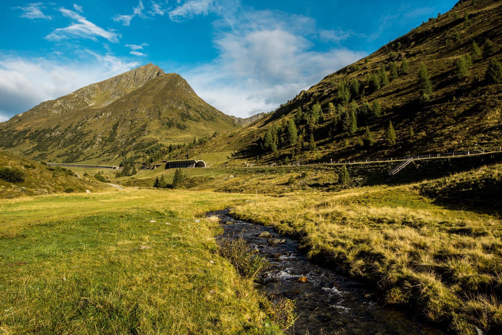
This route starts along the main road and leads slightly downhill, largely on asphalt. Shortly before the first snow shed (the avalanche gallery protecting the road), you turn off to the right to follow a forest road leading through alpine meadows and undulating terrain. When you come to the main road, follow it for a few metres until you reach the Zirmbachalm mountain hut. The run then follows the same route back to the starting point.


