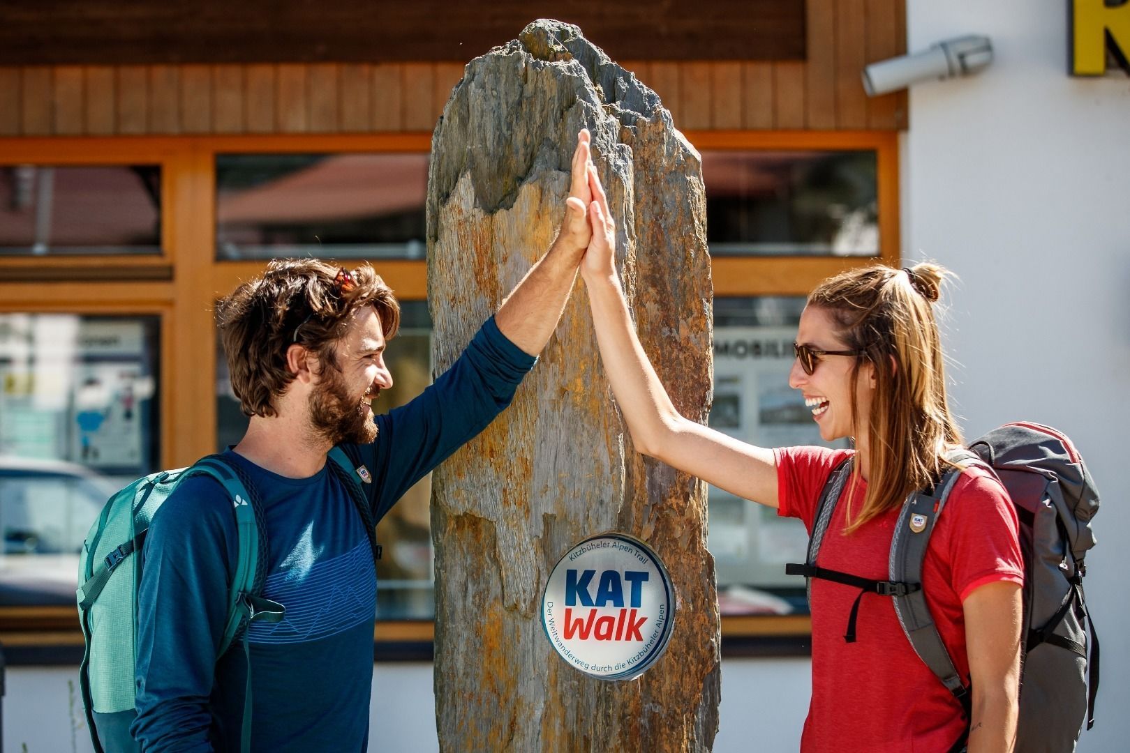
Multi-day long-distance hiking trail - in 6 daily stages across the Kitzbühel Alps! Note: Detour on stage 1 for the rest of the 2021 season. Find updates at www.kat-walk.uk/news
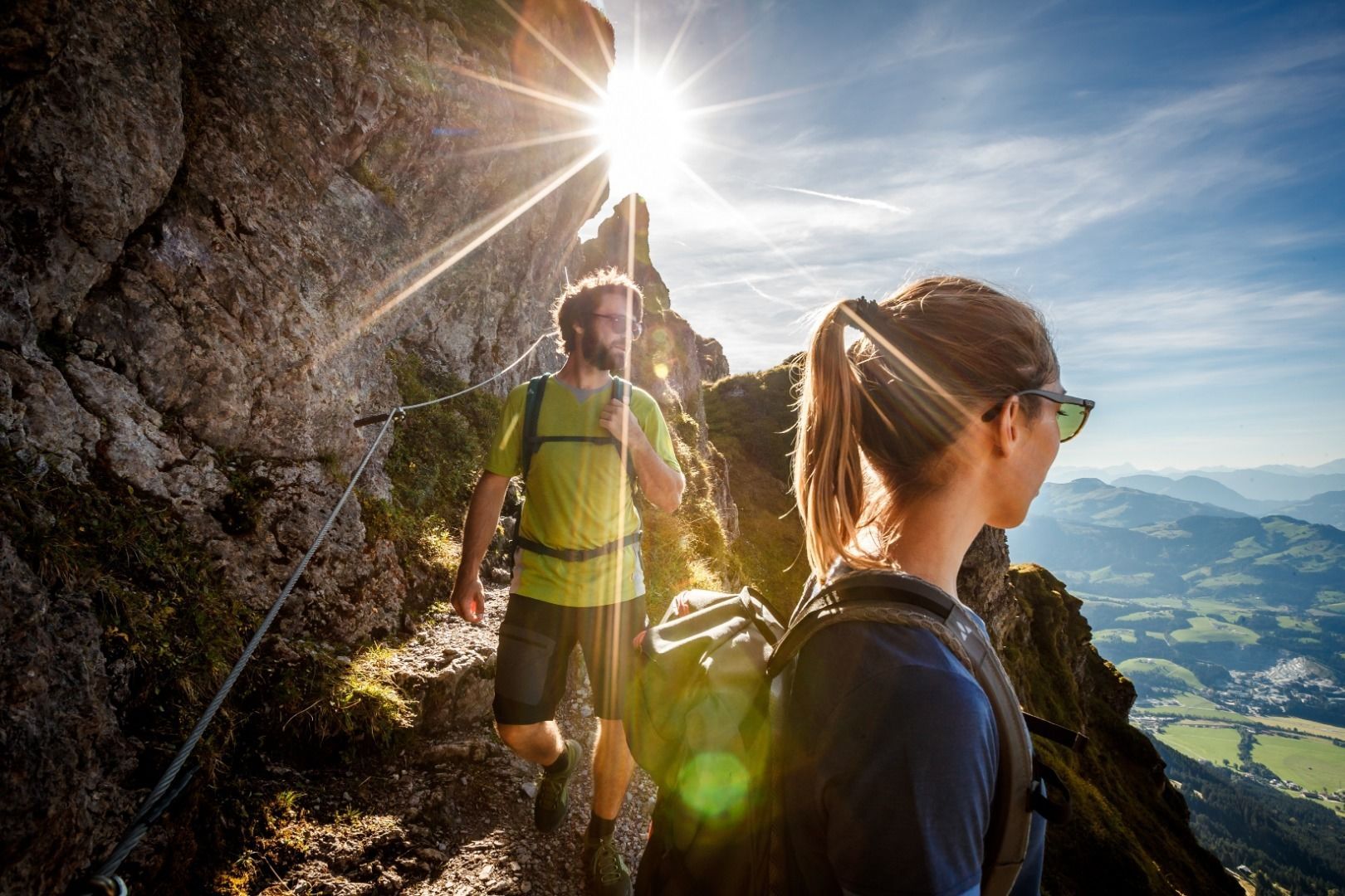

The KAT Walk Alpine offers long-distance hiking fans a top-class mountain experience.
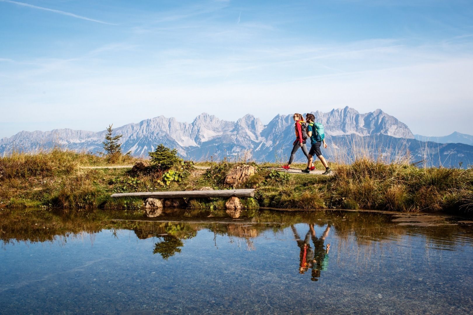
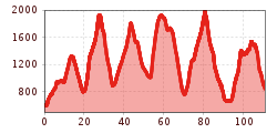
Discover the sunny side of the Kitzbühel Alps on 6 daily stages, totaling 106 km and over 6,350 vertical metres!
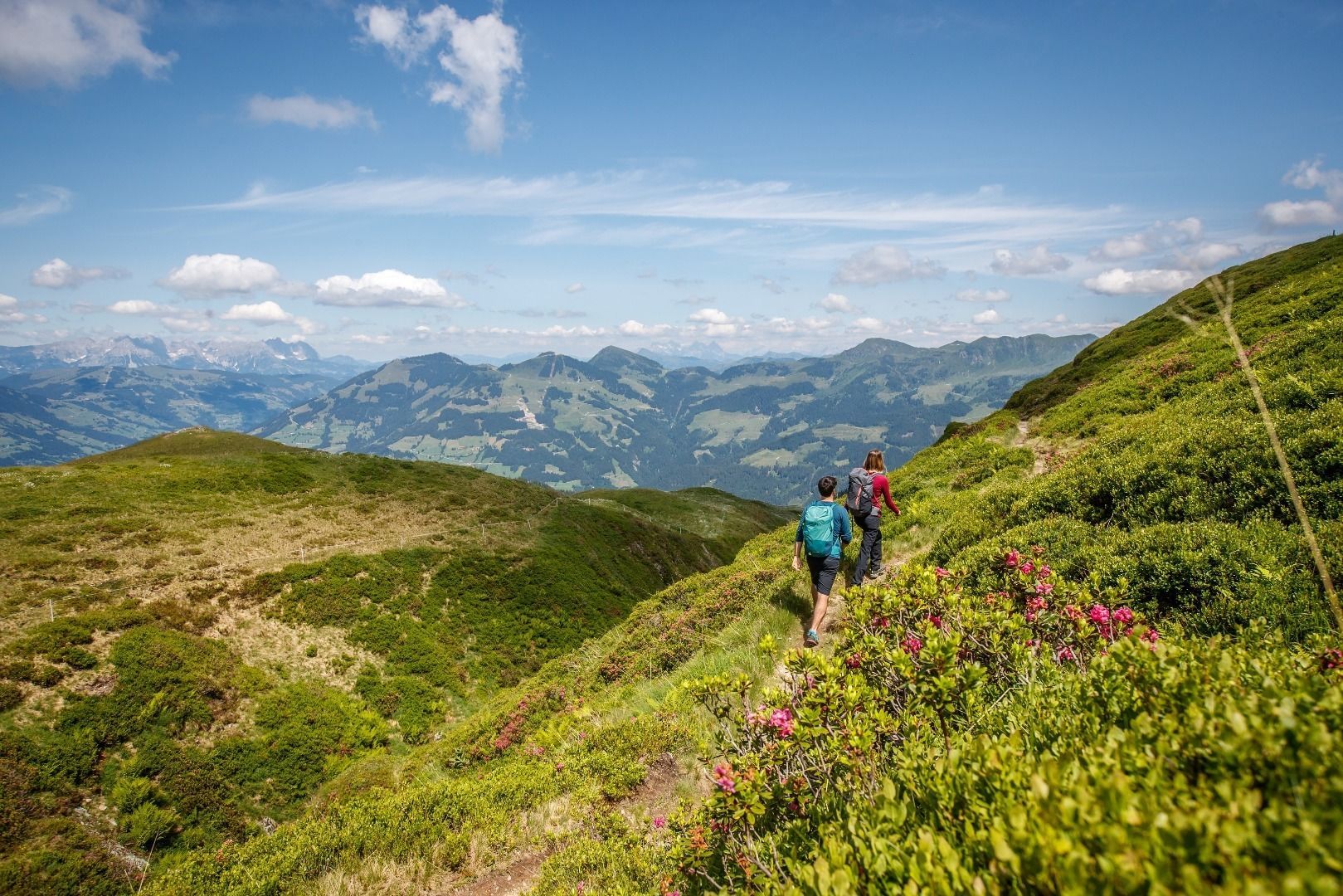
The first stages of the tour lead from Hopfgarten to the most beautiful places in the Brixental side valleys. Here, it seems like time is standing still and you get to enjoy the pure, magnificent nature of the Alps. On the later stages you will experience the famous Hahnenkamm with the Ski World Cup town of Kitzbühel. The last stage leads from the lively St. Johann in Tirol to the beautiful St. Ulrich am Pillersee, nestled right at the shore of the picturesque lake Pillersee.
Beyond Hiking guarantees a time-out, leaving everyday life behind, exploring traditional villages and enjoying the fantastic mountain scenery with fresh alpine air. Of course, tasty Tyrolean delicacies in rustic alpine huts and welcoming hosts on the way are a must. After all, it is the hospitality that makes this piece of earth so special.
Thanks to the complete hassle-free package, relaxation is guaranteed: you can simply arrive and start hiking! Luggage transport, accommodation with half board, maps and much more are organized for you!
Booking online is easy and convenient: www.kat-walk.uk/booking
All information about the KAT Walk stages, FAQs and impressions of the Kitzbüheler Alpen Trail can be found at: www.kat-walk.uk
Station Hopfgarten im Brixental Berglift Bahnhof – 5 minutes' walk to the starting point
Timetables: www.vvt.at
Kitzbüheler Alpen guest card = free ticket for local public transport! More information can be found here.
Free parking between the Salven event centre and Pletzi's Activity Park. Paid car park at the Hopfgarten mountain railway - directly at the starting point.


")

.jpg")


