Cross-country skiing trail Cross country connection Oberstegen-Söll

Söll
Difficulty ratings: easy
Route length: 1.4 km

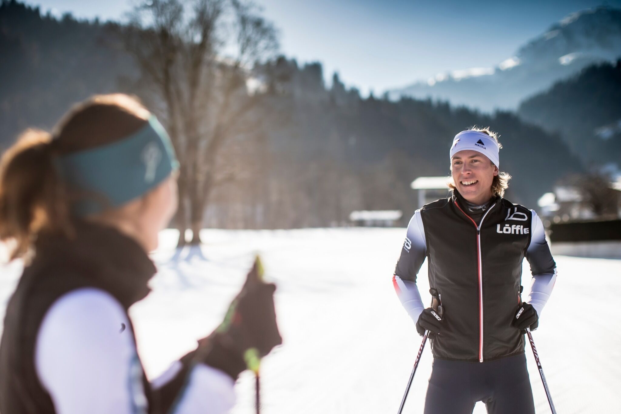
The ski hiking route is purely flat, which also means it's great for everybody.

Tour information

  • Requirement: easy
  • Length: 1.4 km
  • Elevation uphill:15 hm
Highest point621 m

Starting point

restaurant Oberstegen, Söll

Finishing point

village, Scheffau

Styles

Classic
  • Fitness level 1 / 6
  • Technique 1 / 6

Best time of year

  • January
  • February
  • March
  • April
  • May
  • June
  • July
  • August
  • September
  • October
  • November
  • December
Source: Wilder Kaiser

Description

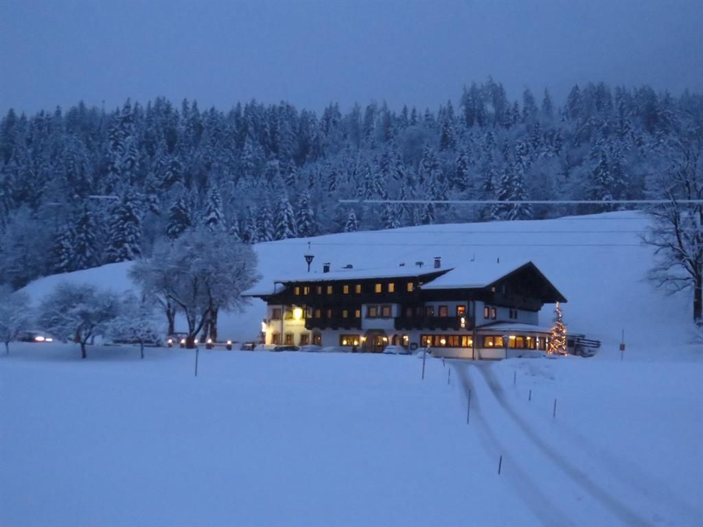
The ideal parking area at Gasthof Oberstegen also offers a refreshment stop. The Oberstegen-Söll connecting trail offers plenty of peace and space and is particularly interesting as a connection to the Schattseitloipe in Söll.

The connecting trail is equipped with a classic track and allows both beginners to get used to the equipment and advanced skiers to ski quickly. The skating trail is also used as a winter hiking trail.


Nearby huts and mountain restaurants

Getting here

  • Arrival by public transport

    Postbus stop “Söll Oberstegen”

  • Parking

    parking area Gasthof Oberstegen

Newsletter

The mountain is calling? So does our newsletter!

In our monthly newsletter we reveal the best holiday tips for Tyrol.