
Opening hours:Open today
Place:Söll
:Restaurant, café
Explore the sunny foot of the Pölven mountain.
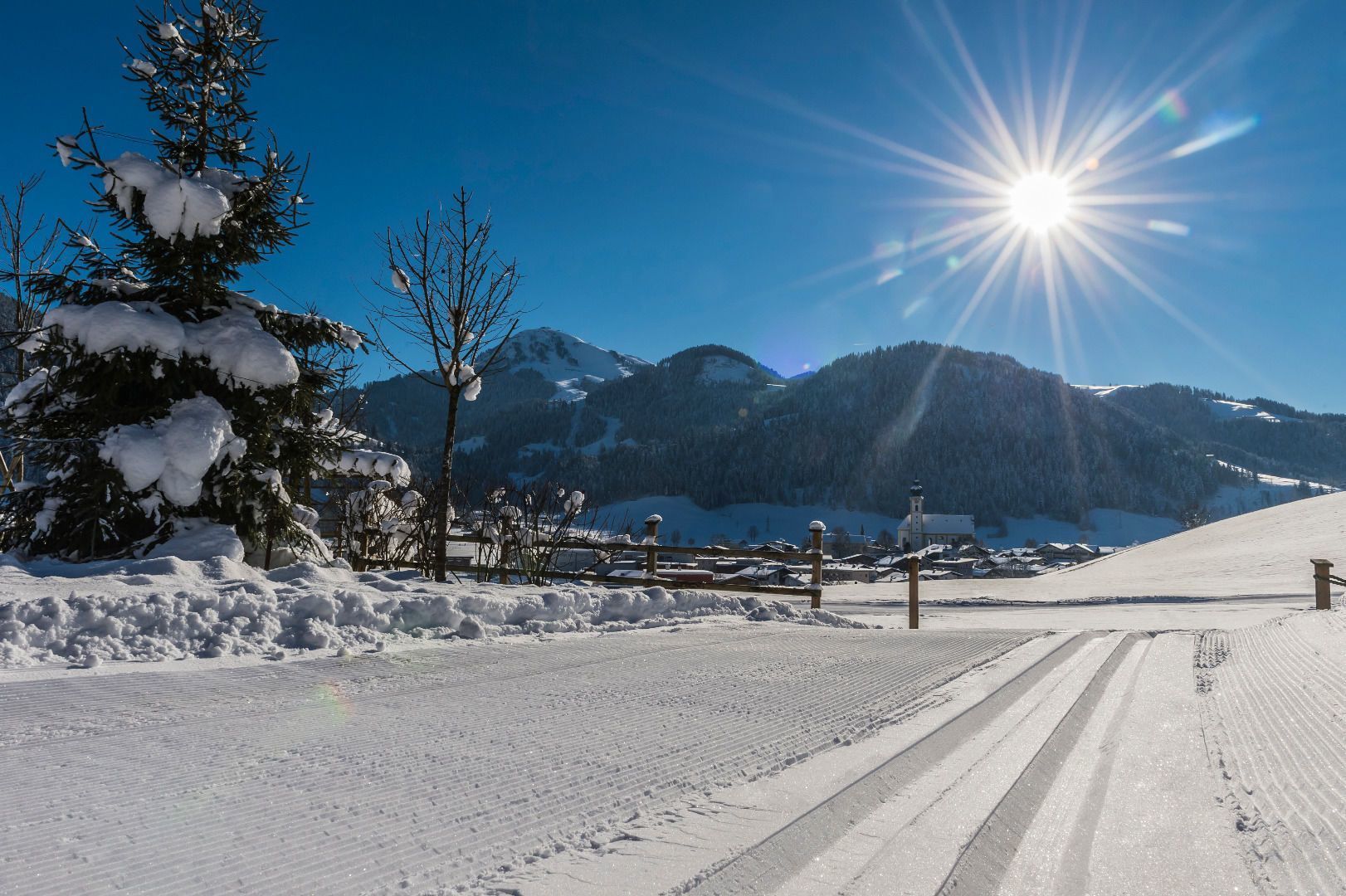

The views extend across almost the entire village of Söll and are framed by the Wilder Kaiser mountain range and the Hohe Salve and Pölven mountains.


.jpg")


.jpg")
.jpg")
.jpg")


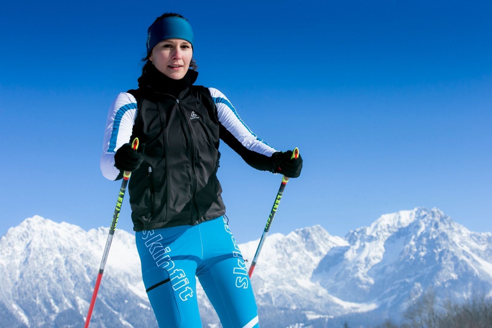
 Mirja Geh (139).jpg")


.jpg")
.jpg")
.jpg")

