
Opening hours:Open today
Place:
Prägraten a.G.
:
Restaurant
Isel slope Prägraten - Hinterbichl
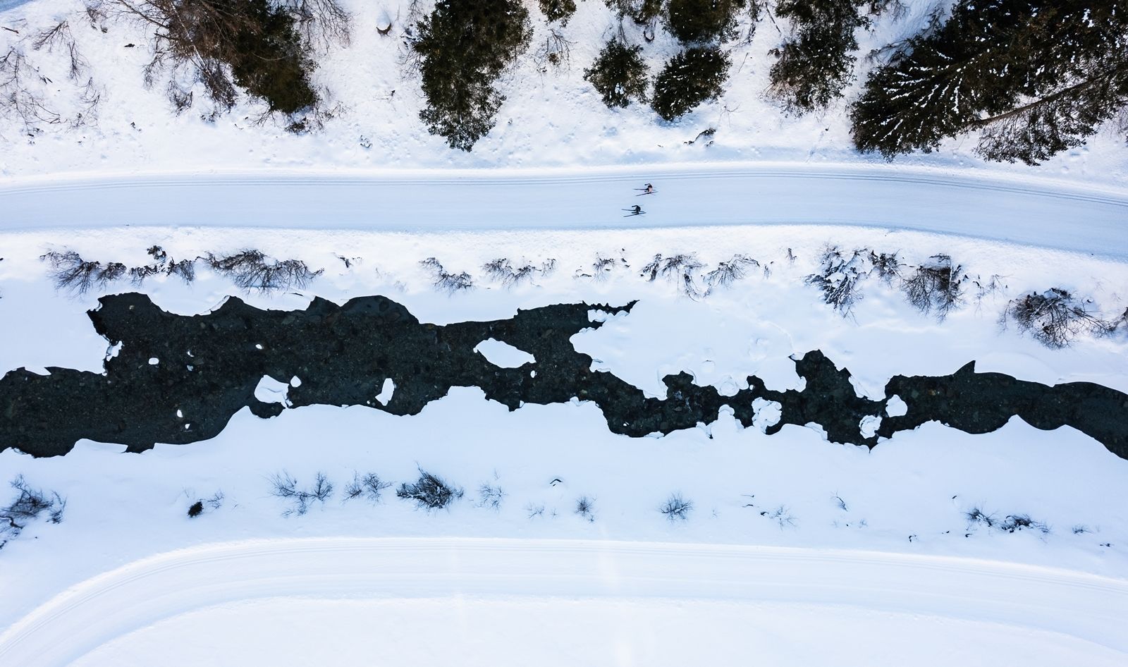
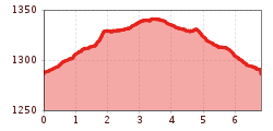
The "Isel slope" lives up to its name. It proceeds along the entire length of the left and right sides of the River Isel. With wonderful surrounding scenery, you are accompanied by the constant sound of the mountain river and the hoar frost which sticks to the trees and branches provides a unique view. After the start at the leisure centre, the slope proceeds to Unterfeld and from there climbs slightly, passing the hamlet of Hinterbichl. After a short section of descent you cross the River Isel and continue via Toinig bridge to the Toinig loop. The return section proceeds to Unterfeld, back on the same route. From there, continue to the starting point at the leisure centre.


.jpg")
