Cross-country skiing trail Sonnenloipe Kals

closed
Kals am Großglockner
Difficulty ratings: medium
Route length: 6.0 km

Sonnenloipe Kals

Tour information

  • Requirement: medium
  • Length: 6.0 km
  • Elevation uphill:64 hm
Highest point1,400 m

Starting point

Kals/Großdorf, am Parkplatz bei der Gondelbahn

Finishing point

Kals/Großdorf, am Parkplatz bei der Gondelbahn

Styles

Skating / Classic

Features

  • Cross-country seal of approval
  • Tyrolean cross-country specialists

Best time of year

  • January
  • February
  • March
  • April
  • May
  • June
  • July
  • August
  • September
  • October
  • November
  • December
Source: Nationalparkregion Hohe Tauern Osttirol

Description

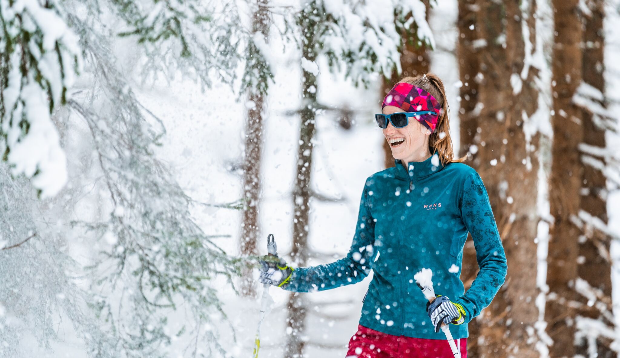
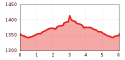
This sunny slope on the village fields close to the ski lift proceeds via slightly ascending terrain, crossing the slope in sharp bends. Access points are in Kals/Großdorf, at the gondola car park, signposted with a panoramic display board of the slopes and at the Tembler, above Großdorf. Leisurely refreshment stops can be enjoyed at the Gamsalm and in Temblerhof.

Nearby cross-country skiing trails

Newsletter

The mountain is calling? So does our newsletter!

In our monthly newsletter we reveal the best holiday tips for Tyrol.

Protected by