
Opening hours:Open today
Place:Prägraten a.G.
:Restaurant
Verbindung Panoramaloipe - Ströden
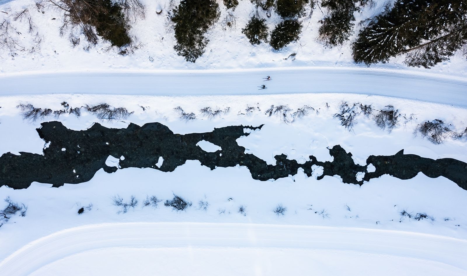
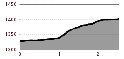
This 2.5 km long trail (measured from the official start in Hinterbichl to Ströden) connects the Ströden Panorama Trail with the other Prägrat trails. From the start in Hinterbichl, the trail runs alongside the Isel Trail for about one kilometer before the connecting trail makes a sharp right turn up into the forest. After a long, very steep section through the forest, you reach a farm, which you cross, and then continue through more open terrain until you reach the junction in Ströden. The trail can of course also be skied from Ströden to Prägraten. PLEASE NOTE: Depending on the direction you are skiing in, you will encounter steep, difficult ascents or descents. In addition, there is oncoming traffic on the trail, so it is reserved exclusively for experienced cross-country skiers!
alexandraerhart-27.jpeg")


.jpg")
.jpg")
.jpg")
.JPG")

.jpg")
.jpg")
.jpg")


 Mirja Geh (139).jpg")


.jpg")
.jpg")
.jpg")


