
Difficulty:
medium
Length:
94.5 km
Duration:
3:45 h
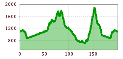
Elevation uphill:
877 m
Short description:Sweat-inducing passes, magnificent views, and a wonderful mountain landscape await you.Technique: ****Quality of experience: ******Recommended season:MayJuneJulyAugustSeptemberOctoberProperties:LoopScenicRefreshment stops available
Description:
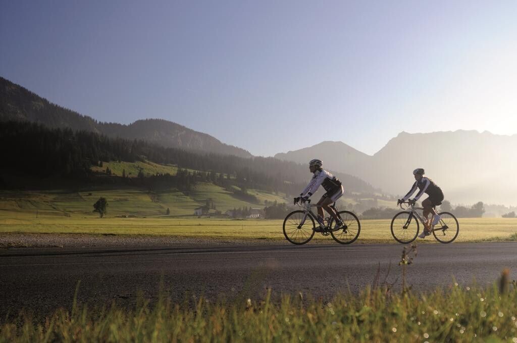
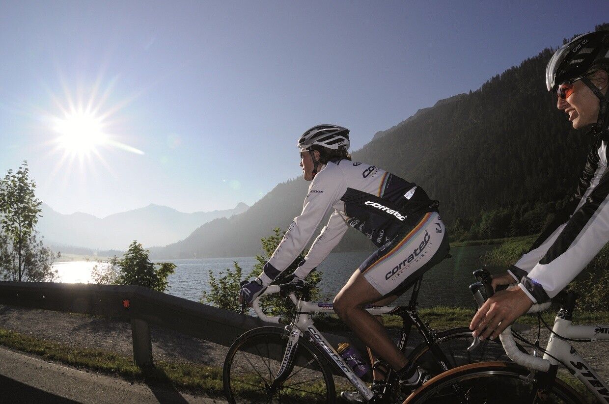
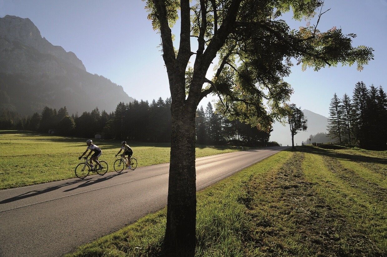
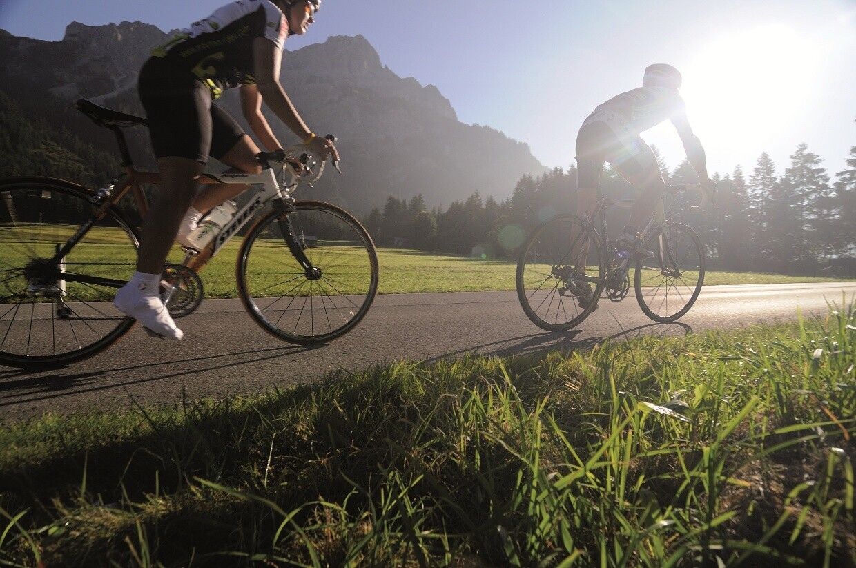
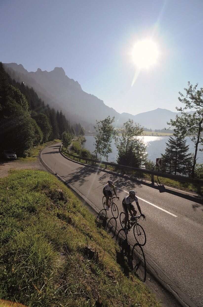
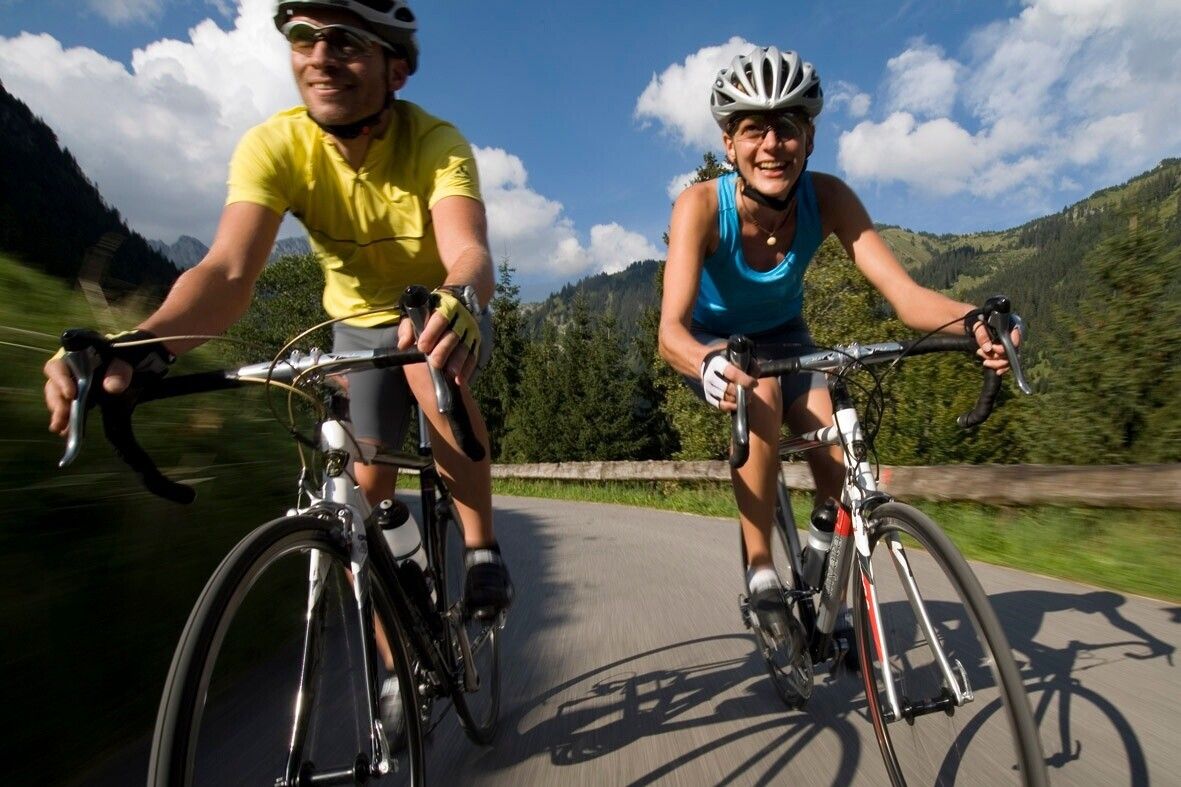
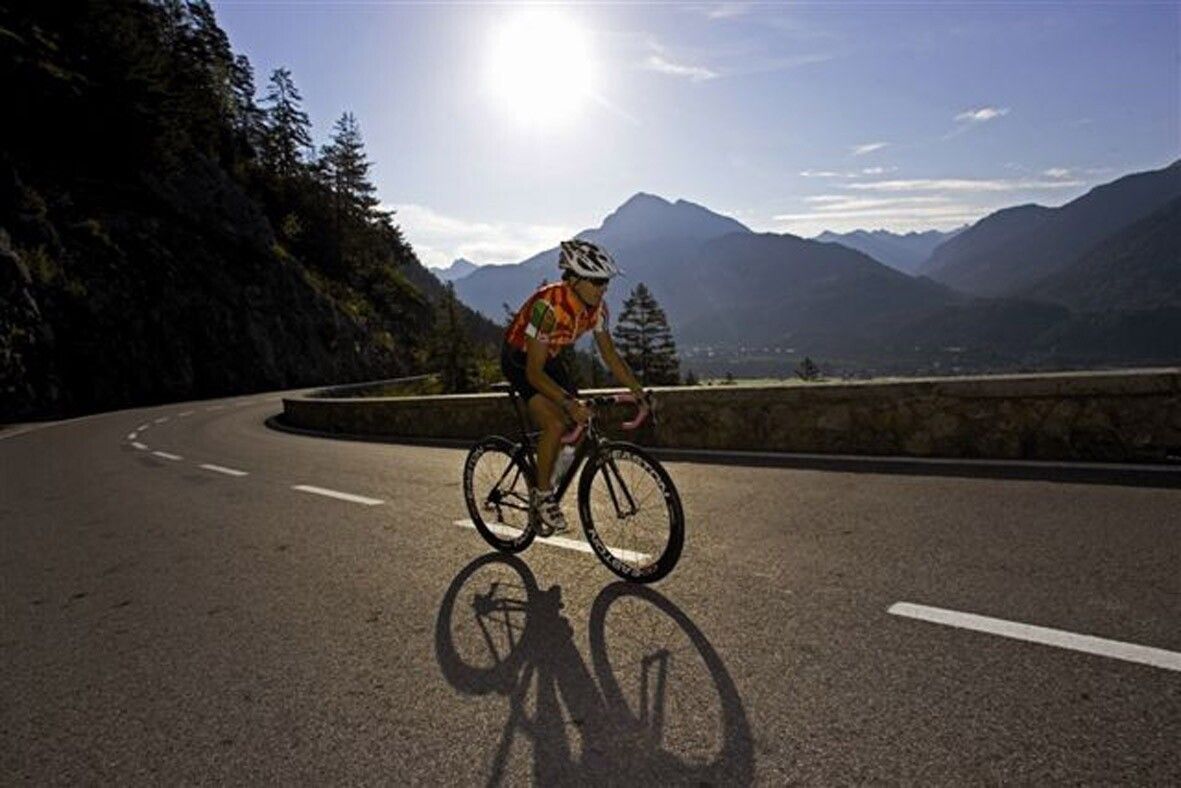
Among cyclists, the Tannheimer Tal has been well known for some time, as in 2001 the peloton of the Austria Road Cycling Tour passed through the valley. In 2005, road cycling professionals of the Bayern Tour came to the Tyrolean soil for the opening stage and were rewarded with the mountain classifications of the Tannheimer Tal and Jungholz. Even professionals noticed the scenic charms of "probably the most beautiful high valley in Europe." Lush green meadows, Lake Haldensee, and a beautiful mountain backdrop accompanied the pros on their race kilometers. Thus, the Tannheimer Tal has also established itself as an ideal area for focused training or extended routes. "The Tannheimer Tal is an ideal starting point for long road bike routes to surrounding regions such as Lake Constance or the Arlberg," says Michael Keller, managing director of the Tourism Association Tannheimer Tal and former Austrian national mountain biking coach. Cyclists find a wide range of accommodation in the Tannheimer Tal in addition to the ideal starting point. From 5-star hotels to private rooms, you can choose your accommodation. After a beautiful ride, relax and recharge. - The Tannheimer TalDirections:
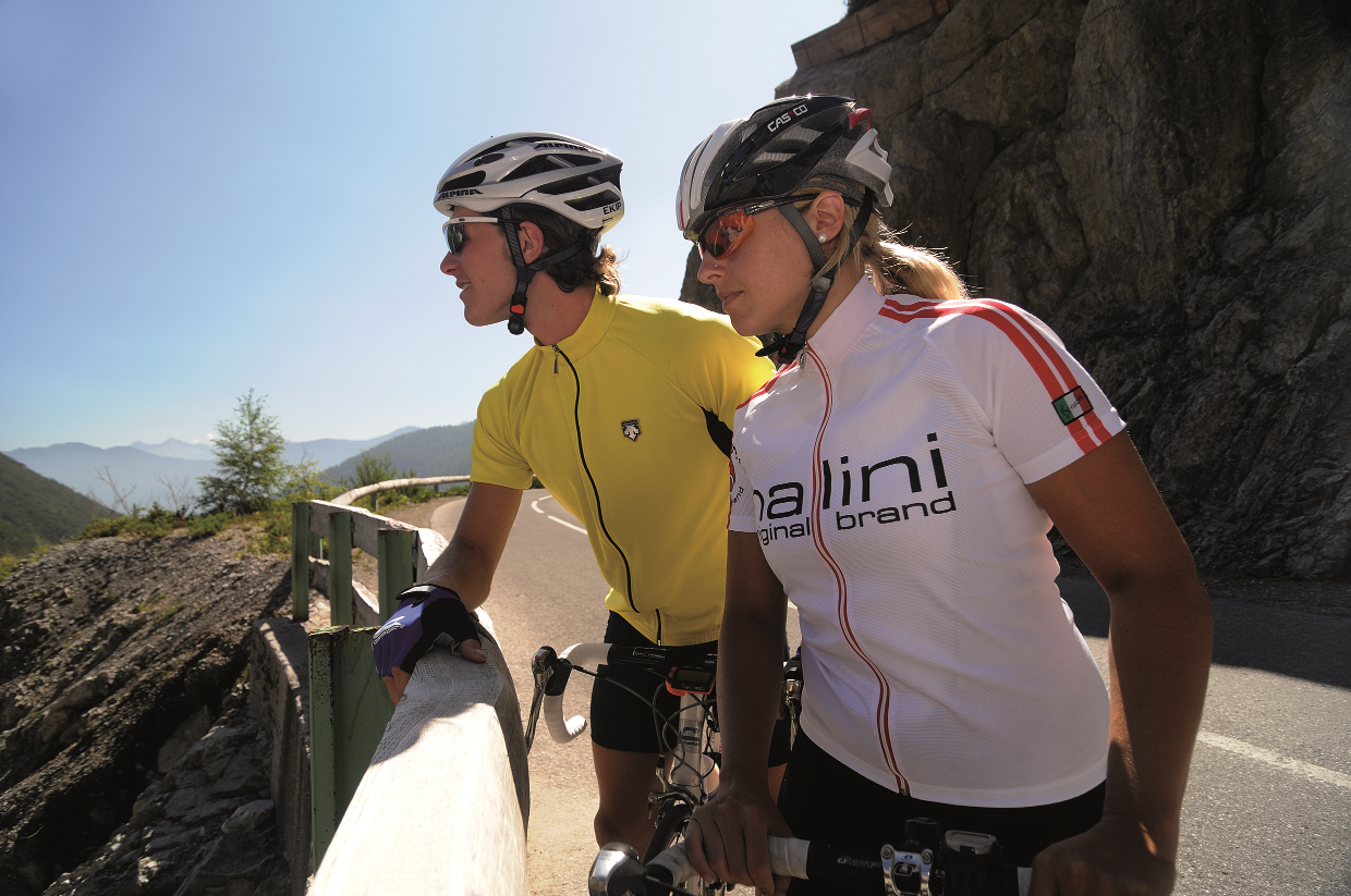
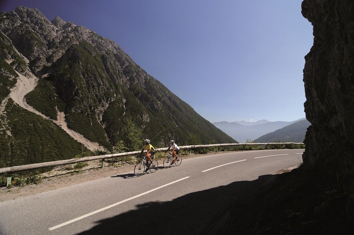
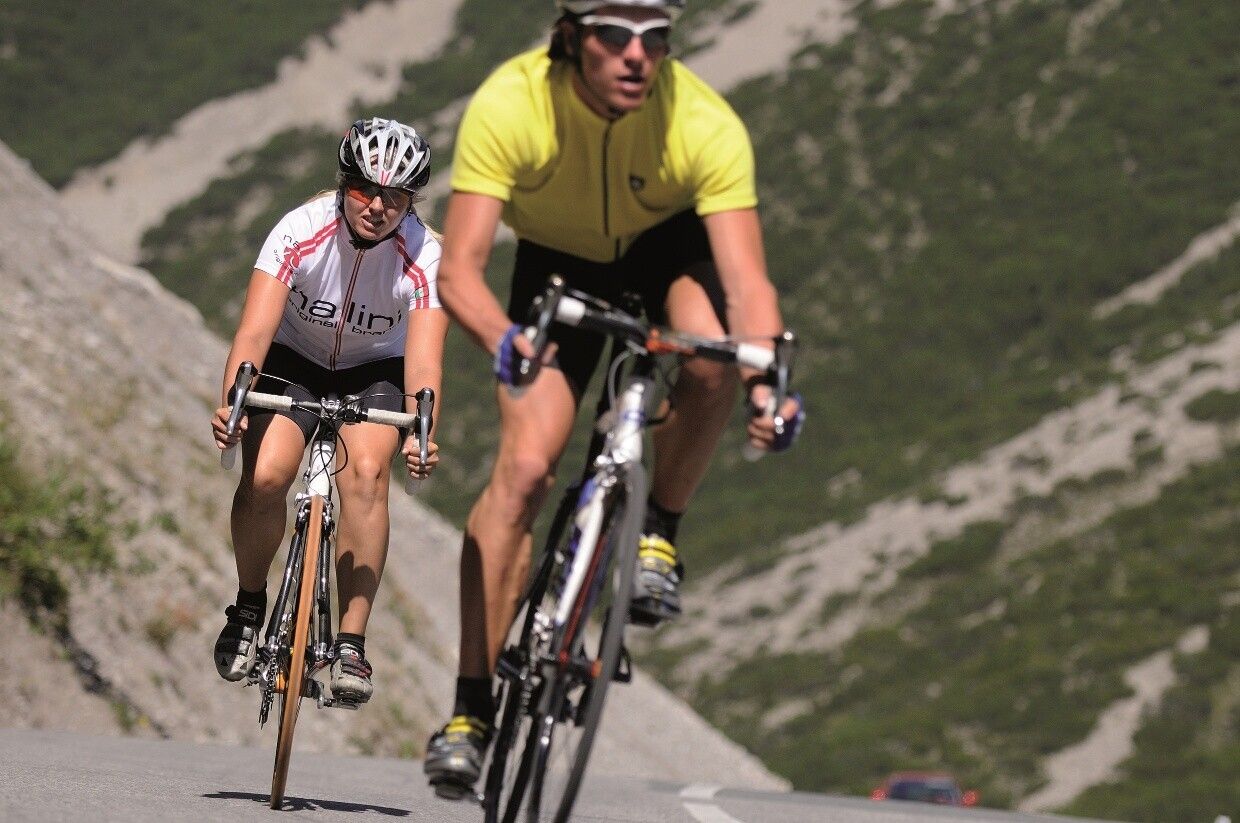
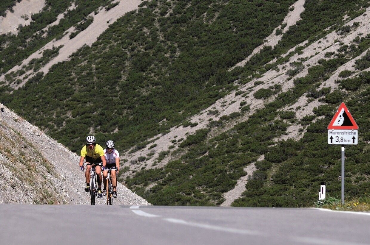
Start at the tourist information in Tannheim heading east, passing Nesselwängle over the Gaicht Pass to Weißenbach. At the roundabout, turn right into the Lechtal valley towards Warth. Then turn left to Lech, the famous winter sports resort. Now climb up to Zürs and continue to the Flexen Pass, 1,773 m. On the descent to Alpe Rauz at the Flexen Pass: beware of dark galleries. Then the last 3 km of the Arlberg Pass up to St. Christoph to the Arlberg Pass summit at 1,793 m. This is followed by a descent to St. Anton and further through the Stanzer valley out to Landeck. In Landeck, follow the signs for "Imst - Schönwies" and travel via Zams parallel to the motorway to Imst. In Imst, follow the signs for "Hahntennjoch". Over 16 kilometers, 1,200 meters of elevation must be managed, with inclines of 12 – 17%, up to the pass summit. Next is a great descent to Elmen, down the Lechtal valley to Weißenbach. At the roundabout, turn right into the Tannheimer Tal and return to the starting point.Safety guidelines:
The traffic regulations apply. General valid and usual behavior rules.
It should be noted that road cycling carries an increased risk of accidents and injuries. Despite careful route planning, a basic risk
always remains. Preparation through endurance sports, appropriate training and education, as well as personal caution reduce the risk of accidents and their dangers.
Your personal equipment must be safe and usable and meet the respective technical standards. Every road cyclist is recommended to inform themselves about the planned routes in specialist literature or locally.
Complete road bike equipment is highly recommended, even for experienced riders!
