
Difficulty:medium
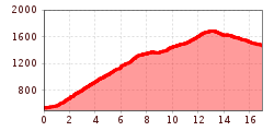
Length:112.0 kmDuration:3:30 hElevation uphill:1,870 m
Demanding and dreamlike: from Schwaz up to the Loassattel, over to Hochfügen and over the Zillertal again out.
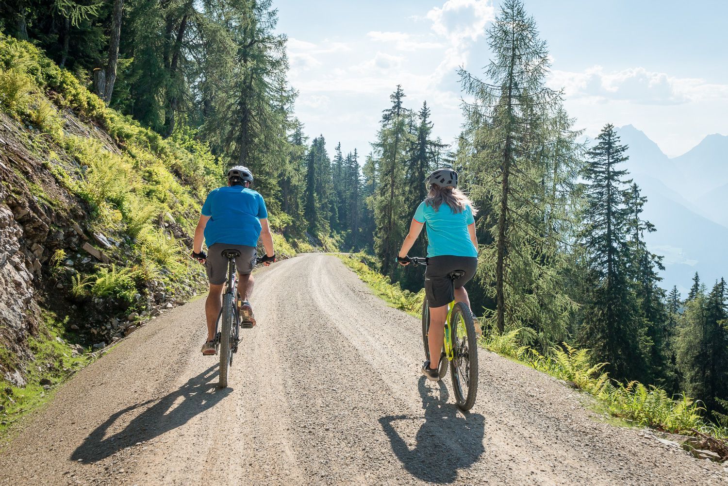
From the start in Hochfügen a wide forest road leads along forests and meadows. Passing all alpine pastures and branches, you will then cross the summit at an altitude of approx. 1800 m. After the exhausting ascent, you will now find some mountain inns for a small rest. Now comes the relaxed part of the route. The descent leads first a small piece on asphalted road, before it leads then on the forest way into the forest. The last section then leads back to Schwaz on asphalt. This route can be started in Fügen as well as in Schwaz.
Special feature: No matter on which side you start the route, an unforgettable view of the mountain scenery is guaranteed.
Connections: 4004. 406. 411
-min.jpg")
Erwin Haiden, bikeboard.at.jpg")


")


Andi Frank (247).jpg")

")


.jpg")
.jpg")
