
Difficulty:medium
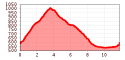
Length:112.0 kmDuration:3:30 hElevation uphill:1,870 m
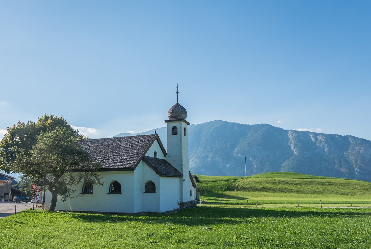
A typical, medium-difficulty circular route through idyllic villages and the primeval Gallzein low mountain range landscape.

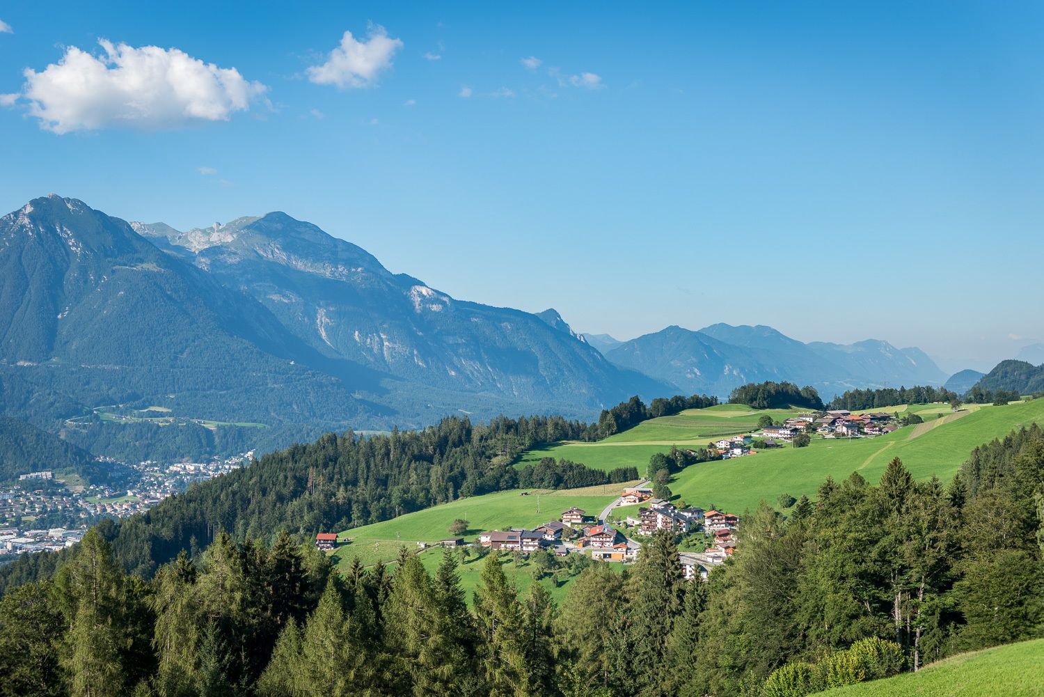
If you arrive by car, you can also take the route in St. Margarethen. From Maurach the asphalted road leads through a forest to the district of Troi. After Obertroi you reach Hochgallzein after another piece of forest. Now you have reached the highest point of the route and drive downhill towards Hof. The asphalt path leads through the idyllic village of Buch in Tyrol back to the starting point.
Special feature: After leaving the forest to Troi, the view of the Karwendel mountains opens up. The view of the St. Georgenberg rock monastery is particularly beautiful.
Connections: 414, 416
-min.jpg")
Erwin Haiden, bikeboard.at.jpg")


")


Andi Frank (247).jpg")

")


.jpg")
.jpg")
