
Opening hours:Open today
Place:Hippach
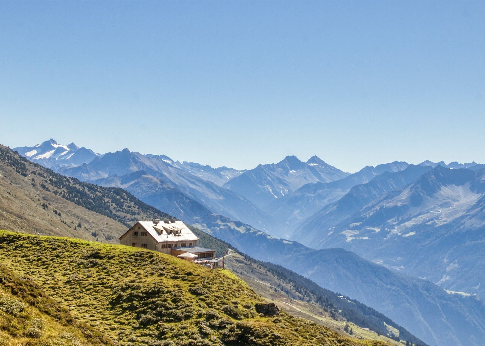
:Alpine pasture / hut / mountain restaurant
Panoramic tour amidst untouched natural landscapes!
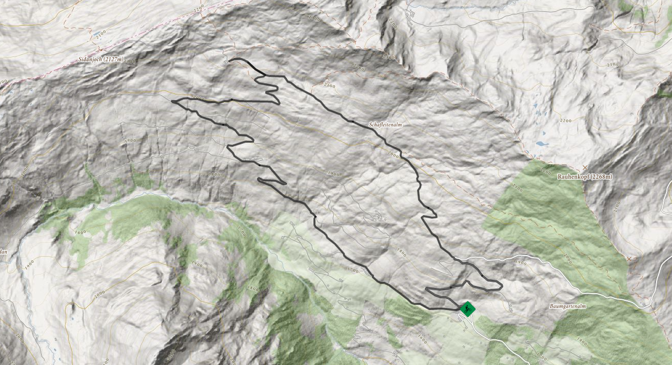
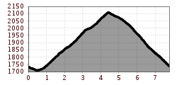
The starting point for this tour can be found at the toll booth for the Zillertaler Höhenstraße at Schwendberg. The route continues from there along a gravel trail past the grounds of Schafleitenalm and Sidanalm alpine farms to the Rastkogelhütte, 2.124 m where you have the opportunity to stop for a break. To get back to the toll booth, ride along the other gravel trail that eventually merges back onto the Zillertaler Höhenstraße - please watch out for hikers here. You will finally return to your original starting point after a few metres on asphalt. This route can also be ridden the other way around!
Bus no.: 8340, Stop: Abzw. Rastkogel
www.mayrhofen.at/fahrplaene
The transportation is at the discretion of the bus driver!
