Arrival by public transport
Bus no.: 8327; Stop: Bärenbad
www.mayrhofen.at/fahrplaene
The transportation is at the discretion of the bus driver!
The journey is the reward - and if you love your bike, you’ll push it!
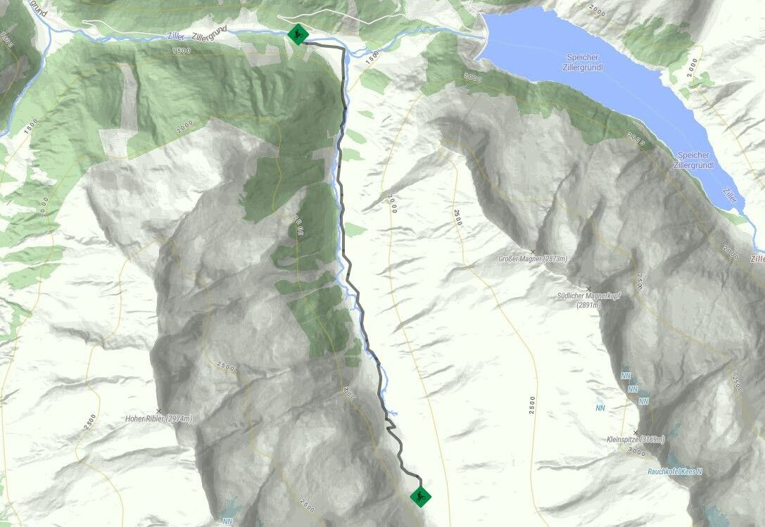
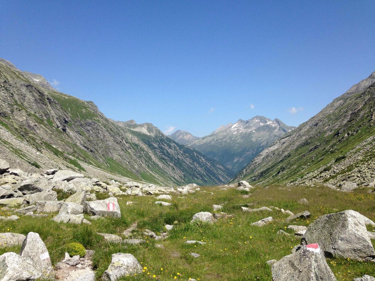
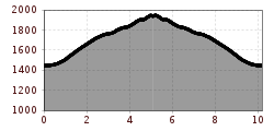
Route No. 485 starts at Jausenstation Bärenbadalm 1450 m in Zillergrund, from where it leads along a relatively flat gravel trail towards Sulzbodenalm. Continue alongside Hundskehlbach Stream, following an occasionally steep trail past Mitterhüttenalm to the old “Zollwachhütte” (custom guard hut), where you will arrive at your destination. As the path is very steep. You may have to push your bike occasionally from Mitterhüttenalm onwards. However, you can roll back down the same path in a more relaxed fashion on your return journey. The inviting Bärenbadalm is a great place to stop for a break and enjoy homemade Zillertal specialties.
Tip: Experienced cyclists with plenty of stamina can take the single trail Nr. 486 to Hundskehljoch.
Bus no.: 8327; Stop: Bärenbad
www.mayrhofen.at/fahrplaene
The transportation is at the discretion of the bus driver!
