Difficult cycle route from Landeck via Tobadill and Hintergiggl to See
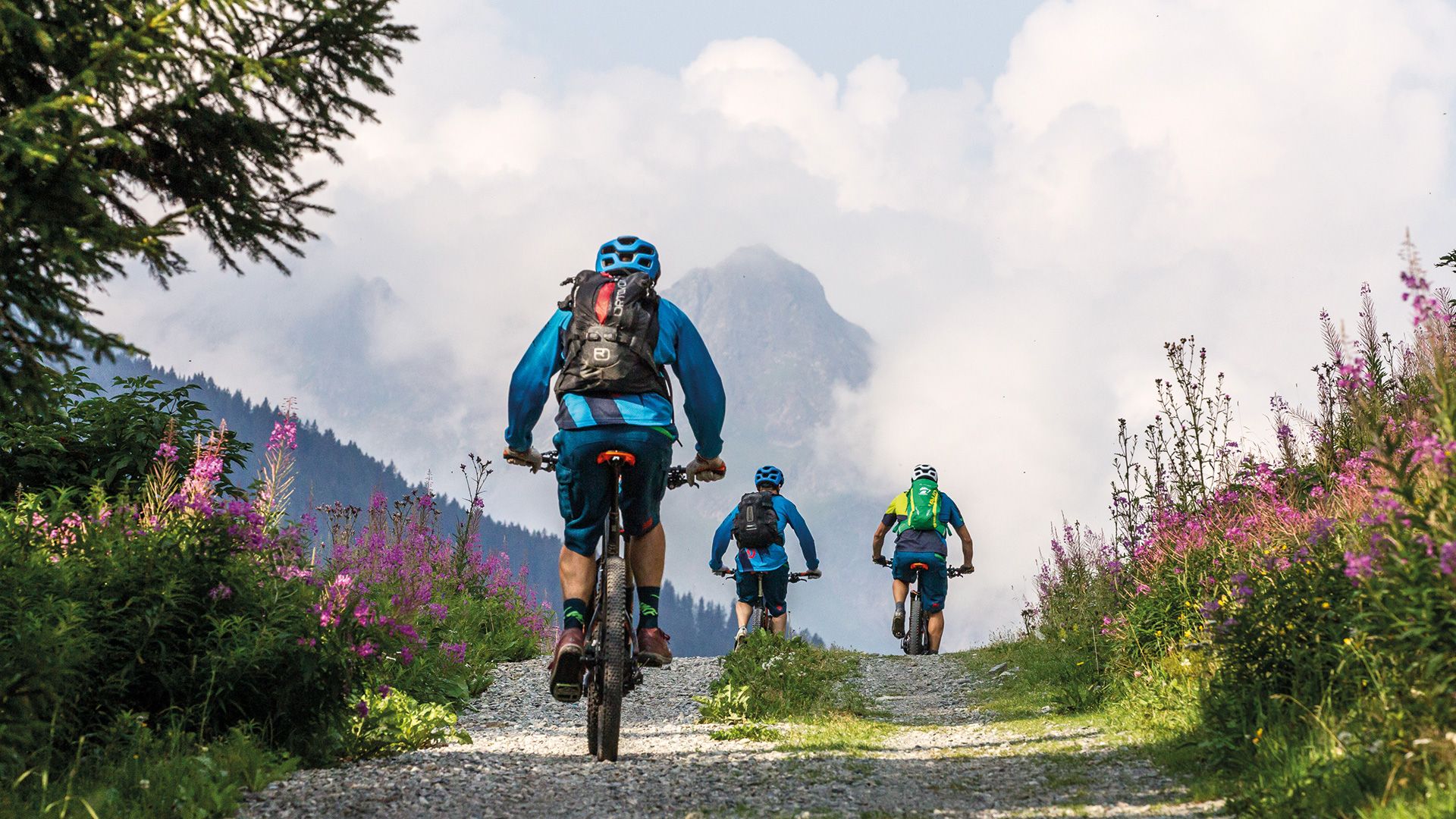
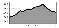
Uphill-focused connecting route between Landeck and See, with a single trail as a reward. The route sets off from the southern part of Landeck towards the west, first along an uphill asphalt road and then turning off left along well-established forest trails in the wood. Once the first ascent has been completed, you can enjoy the first descent down to the Tobadiller Straße road. But this breather is short-lived and from here it’s time to put some energy into the pedals to complete the long 360 m of altitude to Giggl. One last bend and the terrain becomes a fun single trail, using up any last energy reserves you might have on the downhill stretch from the Waldkapelle – the highest point on the route. The up and down flows on the Singletrail Tobadill (page 100 – very challenging in parts) are definitely a reward for the effort invested in getting here. The single trail ends in Frödenegg and the final 3 km downhill from See to the Medrigjochbahn cable car follow forest paths initially and then an asphalt road.
