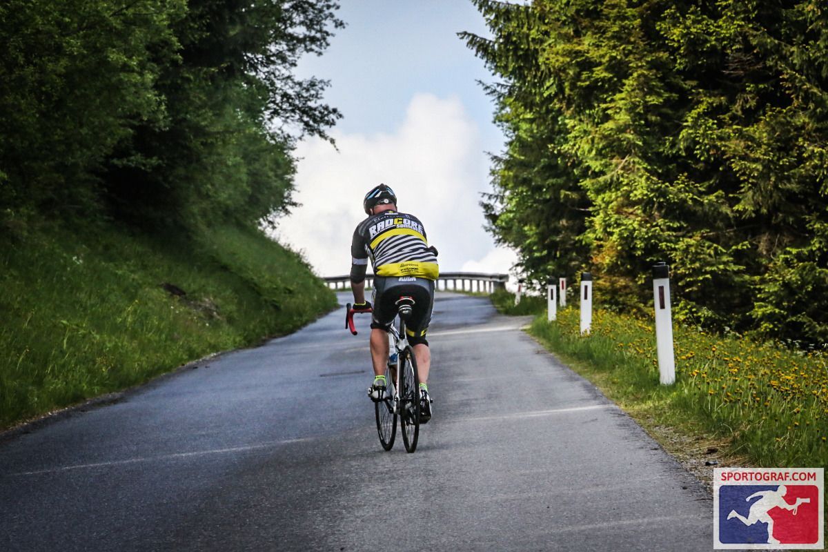
Road bike tour Endless altitude difference

Imst / Lechtaler Alpen
Difficulty ratings: difficult
Route length: 140.0 km
Duration: 8:00 h

Endless altitude difference

Tour information

  • Requirement: difficult
  • Length: 140.0 km
  • Duration: 8:00 h
  • Elevation uphill:3,750 hm
  • Elevation downhill:4,783 hm
Highest point1,697 m

Starting point

Information office Imst Tourismus

Finishing point

Municipal office Imst

Features

  • Circular route

Trail condition

Asphalt
Source: Outdoorregion Imst

Description

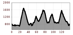
Course: Imst – Haiming – Haimingerberg – Sattele – Ochsengarten – Ötz – Sautens – Roppen – Wald/Leins – Jerzens – Wenns – Piller – Piller Höhe – Kaunerberg – Prutz – Ried – Ladis – Fiss – Ried – Prutz – Fließ – Piller Höhe – Wenns - Imst

Alternative: The tour can be changed individually or shortened.

More tours in the surrounding area

Newsletter

The mountain is calling? So does our newsletter!

In our monthly newsletter we reveal the best holiday tips for Tyrol.