
Difficulty:
medium
Length:
94.5 km
Duration:
3:45 h
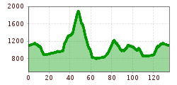
Elevation uphill:
877 m
Short description:A route that taxes the legs a bit.Technique: *****Quality of experience: ******Recommended season:MayJuneJulyAugustSeptemberOctoberProperties:LoopScenicRefreshment stops available
Description:
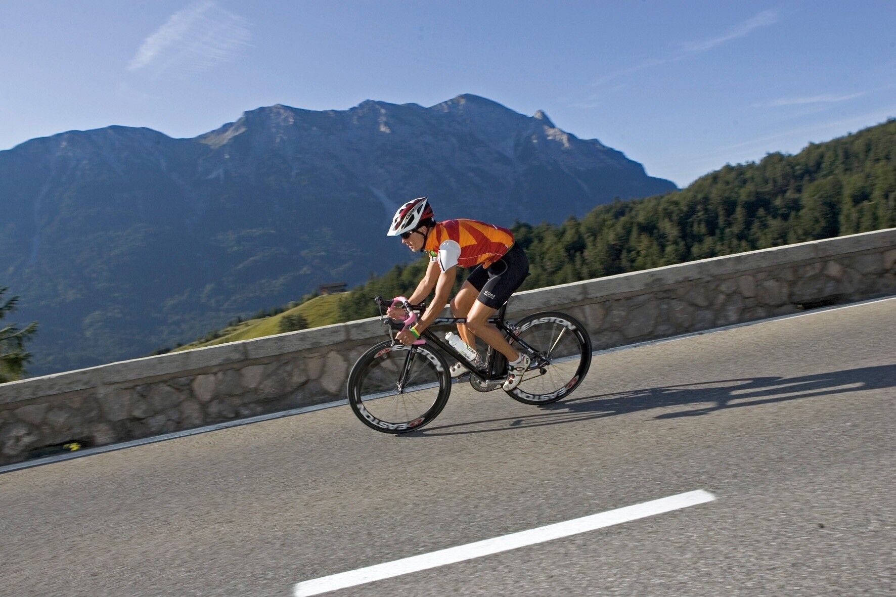
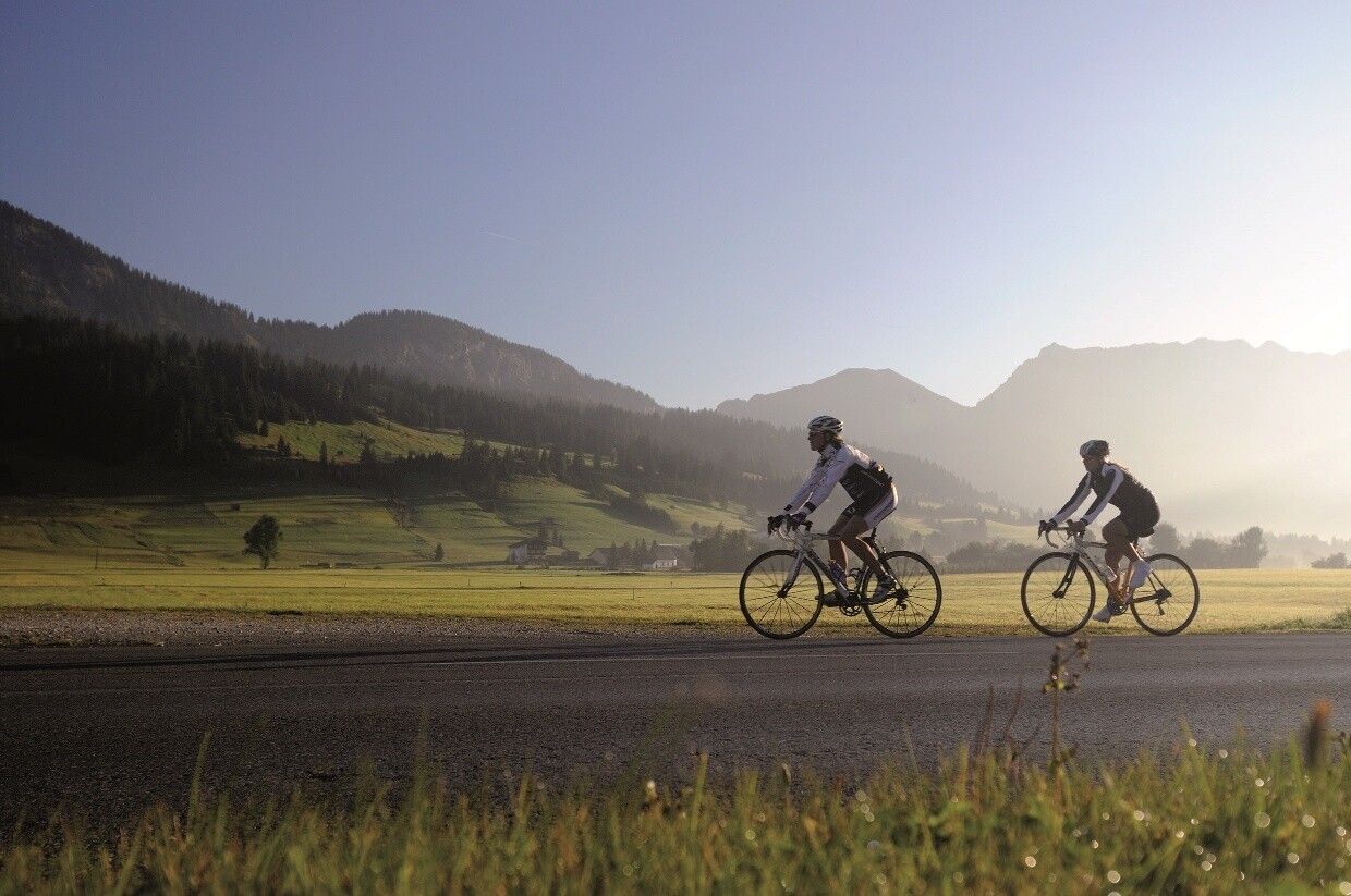
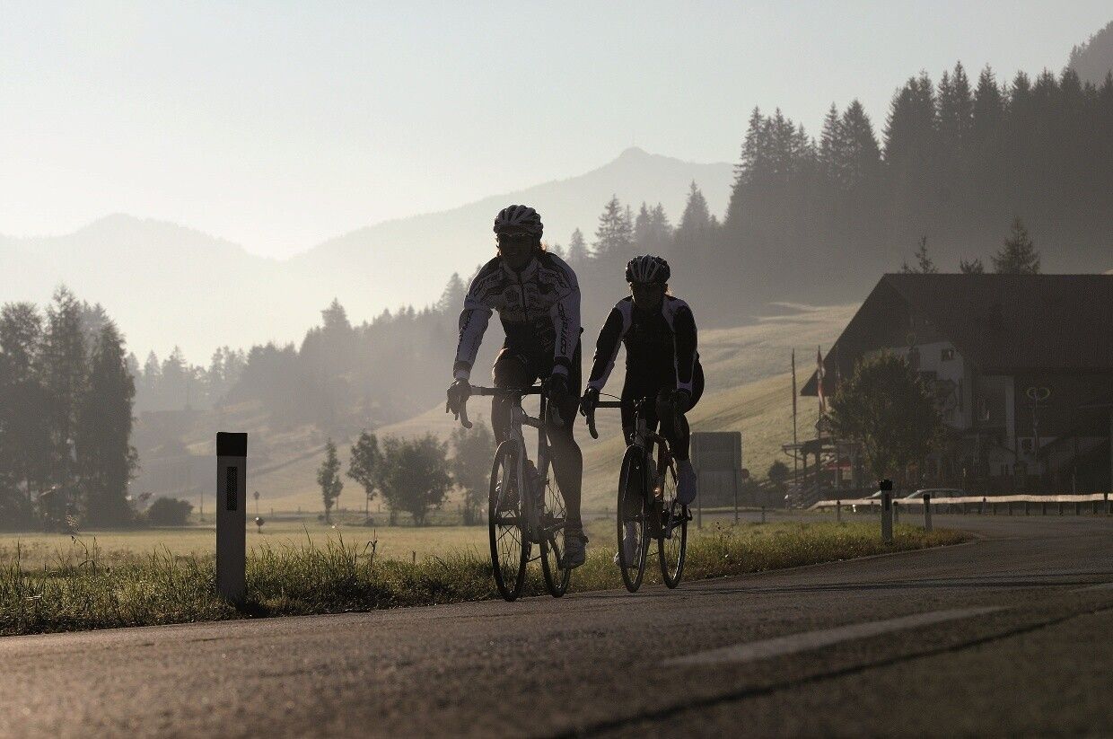
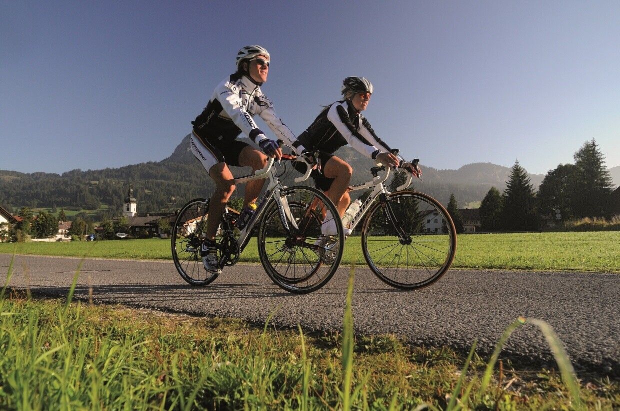
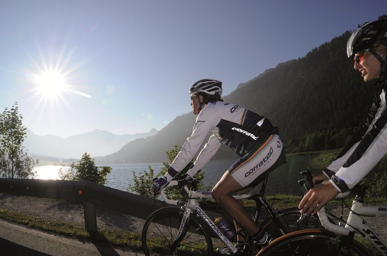
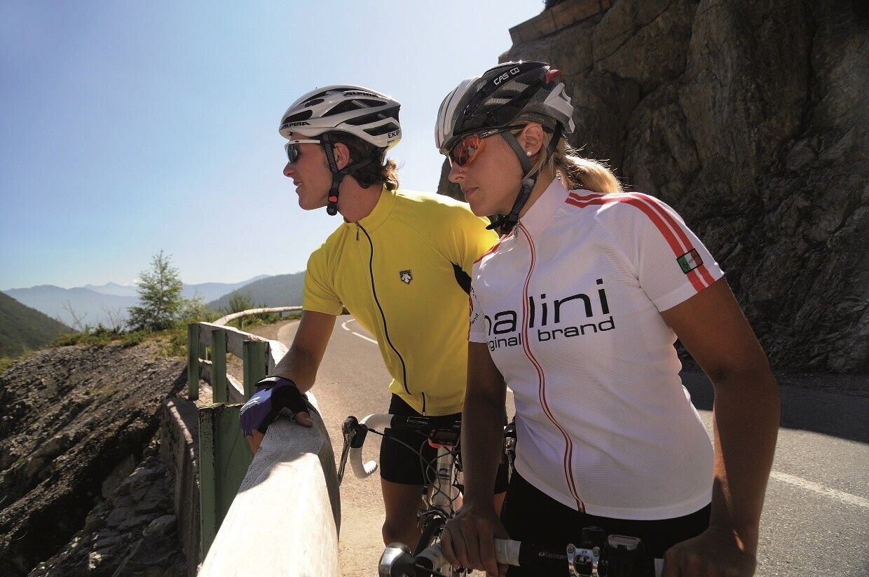
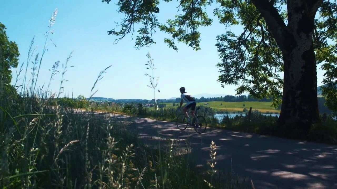
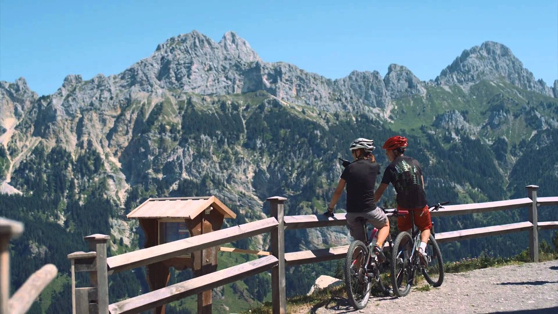
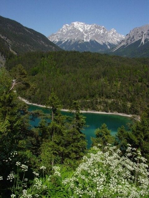
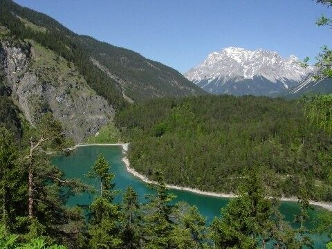
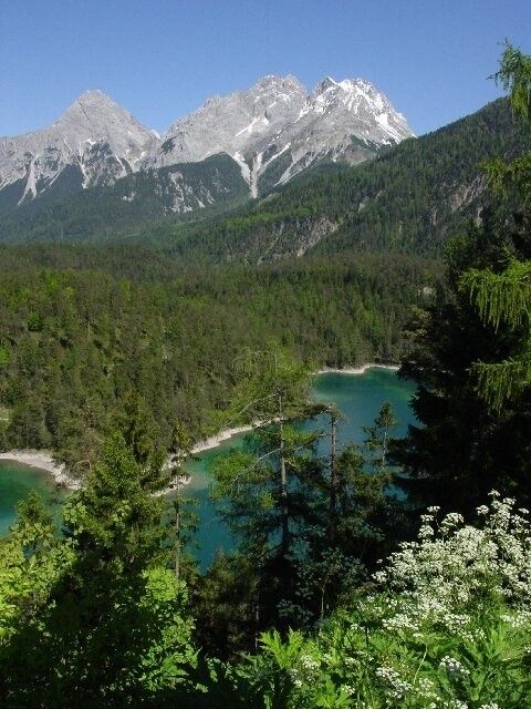
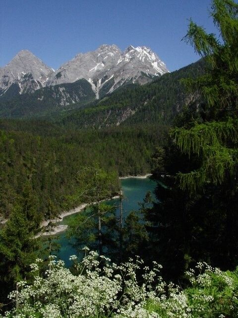
Among cyclists, the Tannheimer Tal has been known for a long time, as in 2001 the peloton of the Austria Tour passed through the valley. In 2005, the pros of the Bavaria Tour came to the start stage on Tyrolean soil and were rewarded with the mountain classifications Tannheimer Tal and Jungholz. Even pros noticed the scenic charms of the "probably the most beautiful high valley in Europe." Lush green meadows, the Haldensee lake and a beautiful mountain backdrop accompanied the pros on their racing kilometers. Thus, the Tannheimer Tal has also established itself as an ideal region for targeted training or extended routes. "The Tannheimer Tal is an ideal starting point for long road bike rides to surrounding regions such as Lake Constance or Arlberg," says Michael Keller, managing director of the Tannheimer Tal Tourist Board and former Austrian mountain bike national coach. Cyclists find a wide range of accommodation in the Tannheimer Tal besides the ideal starting point. From 5 star houses to private rooms, you can choose your accommodation. After a nice ride, let your soul dangle and recharge your batteries. - The Tannheimer TalDirections:
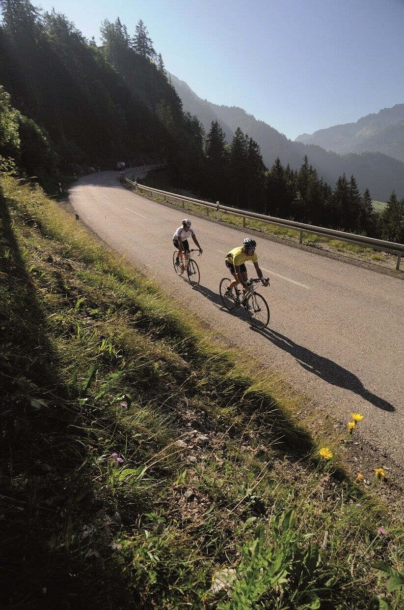
Start at the tourist information in Tannheim heading east, passing Nesselwängle over the Gaicht Pass to Weißenbach. At the roundabout, turn right into the Lech Valley, passing Forchach, Stanzach to Elmen. Follow the signs "Hahntennjoch" over a 13% ascent to Bschlabs. Steadily uphill at an average of 12% on the switchbacks up to Pfafflar. Continue to the pass summit at 1,903 meters. As a reward for overcoming nearly 1,000 meters of altitude, a 16 km long descent follows down to Imst. In Imst, keep left towards Fern Pass, passing the villages Tarrenz and Nassereith. After the effort over Hahntennjoch, the Fern Pass is an easy ride, only the heavy traffic is challenging. After the Fern Pass, turn right and bypass the Lermooser Tunnel via Biberwier and Lermoos, then get back on the B 179 until Reutte. In Reutte, follow the signs "hospital", passing Ehenbichl, Rieden to Weißenbach. At the roundabout, turn right into the Tannheimer Tal and back to the starting point.Tip:
Several dining optionsSafety guidelines:
Traffic regulations apply. Generally valid and usual rules of conduct.
It should be noted that there is an increased risk of accidents and injuries in road cycling. Despite careful route planning, a basic risk always remains. Preparation through endurance sports, appropriate training and education as well as personal caution reduce the risk of accidents and hazards.
Equipment: