
Opening hours:Open today
Place:St. Johann in Tirol
:Restaurant, café, Bar / Pub
Leukental cycle path from Kössen to Jochberg
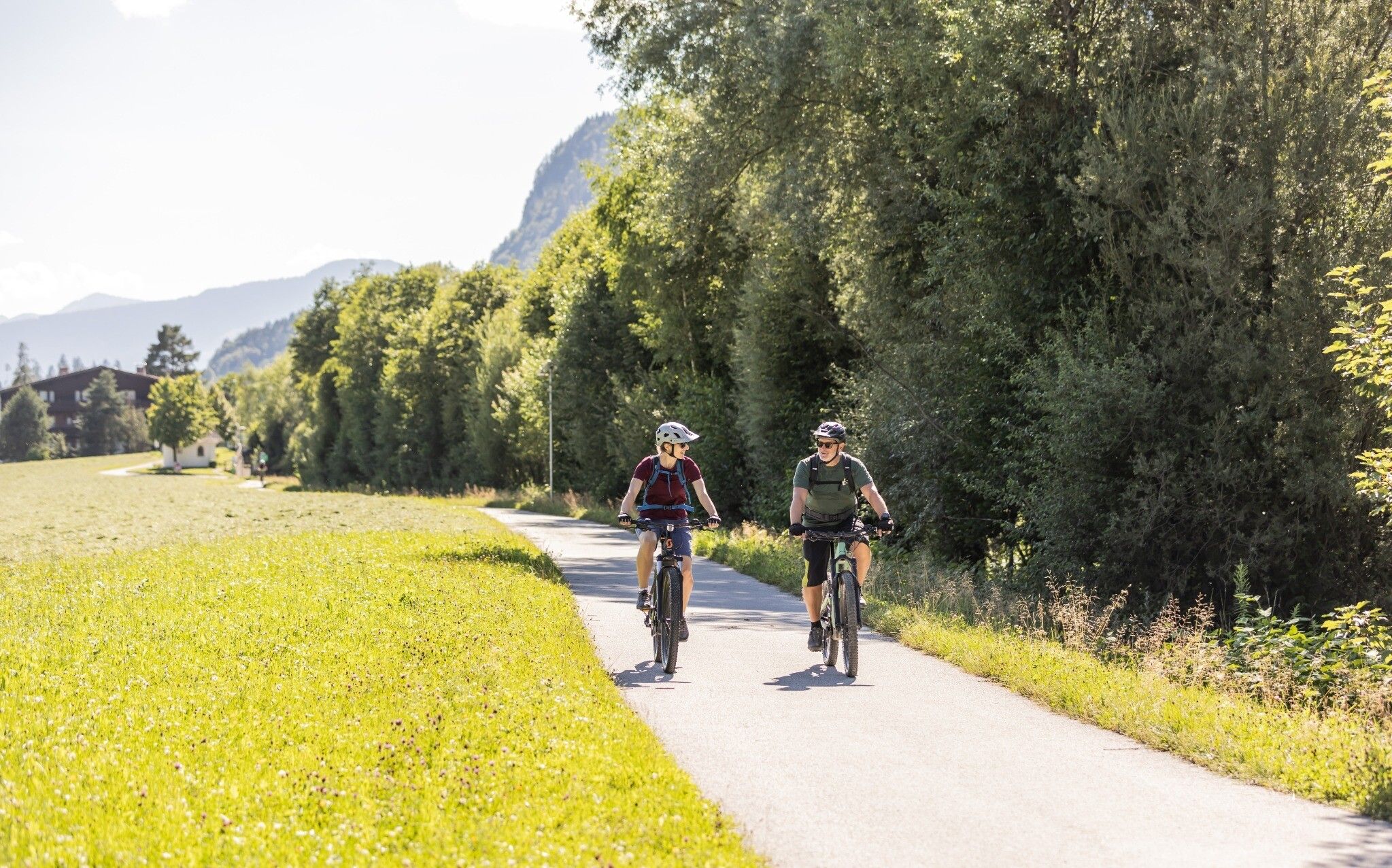
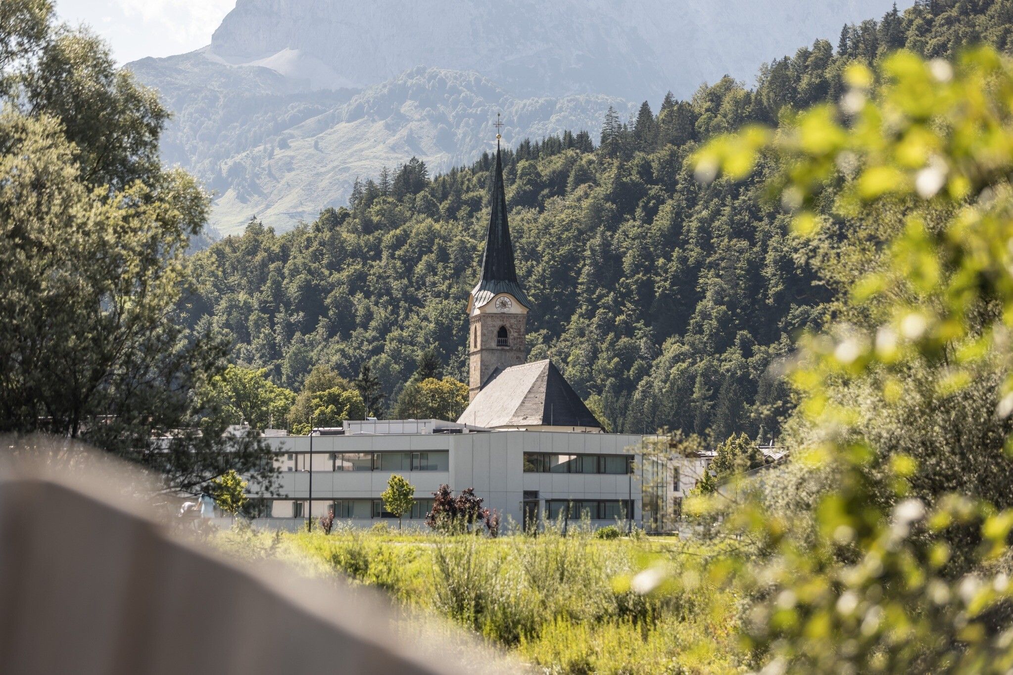
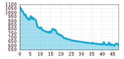
The starting point is the town center in Kössen. From here you cycle along a road with little traffic to the valley station of the Unterberghornbahn. From there, follow the dirt road in an easterly direction until you reach the "Hagerbrücke". From there along the cycle path along the "Tiroler Ache" to Erpfendorf. Here you continue along the dam crest of the "Großache" to the center of St. Johann in Tirol. Along a road with little traffic you cycle in the direction of Oberndorf. Behind the Eggerwerk you reach the contemplative farming hamlet of Wiesenschwang via the cycle path.
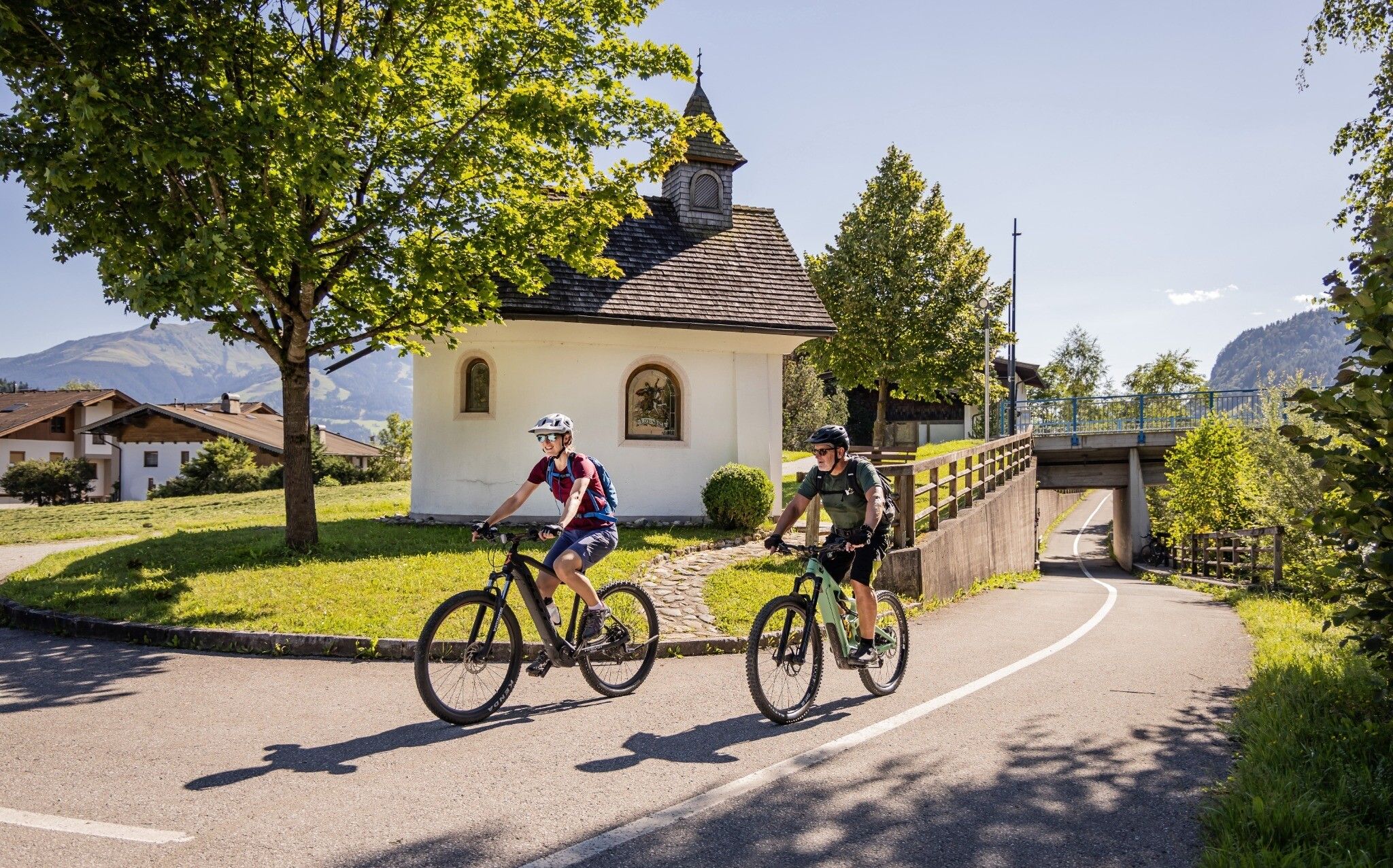
From there you continue along the Römerweg, past beautiful farmhouses, to Kitzbühel. On a small hill you pass the city center of Kitzbühel. At the tennis stadium you cross the main road there you drive to the traffic circle parallel to the Paß-Thurn-Straße. Here you turn into the right side street to drive along the Jochberger Ache to Aurach. Along side roads with little traffic you will pass idyllic farmhouses and small hamlets until you reach Jochberg, the destination of your bike tour. You can return by public transport.
Postbus 4000 St. Johann in Tirol Bahnhof - Kösen VZ Kaiserwinkl
Retour:
Postbus 4010 Jochberg Gemeindeamt - St. Johann in Tirol Bahnhof (Kostenlos mit der Gästekarte AB Kitzbühel)
201 Giselabahn AB Kitzbühel - St. Johann in Tirol Bahnhof
Bus- and traintimetables:
kitzalps.cc/mobile
Center of Kössen, for example VZ Kaiswerwinkl parking (Postweg 6)


")


")

_FULL110.jpg")


")


