
Difficulty:
medium
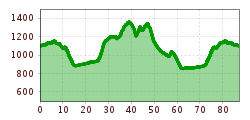
Length:
94.5 km
Duration:
3:45 h
Elevation uphill:
877 m
Short description:Get to know the flair of the district of Reutte, starting from the Tannheimer Tal, continuing into the Lechtal to Zwischetoren, and returning via the Reutte Nature Park region.Technique: ***Quality of experience: ******Recommended season:AprilMayJuneJulyAugustSeptemberOctoberProperties:LoopScenicRefreshment stops availableCultural/historical valueGeological highlightsBotanical highlightsFaunistic highlights
Description:
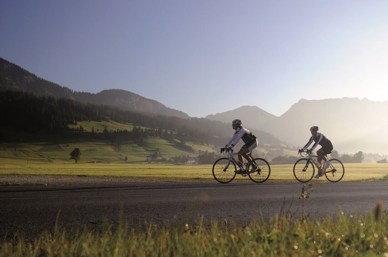
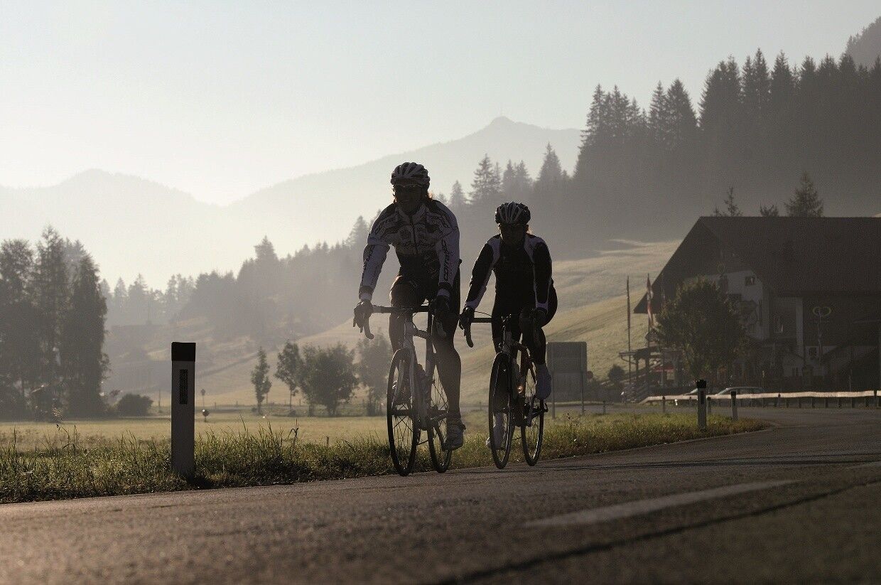
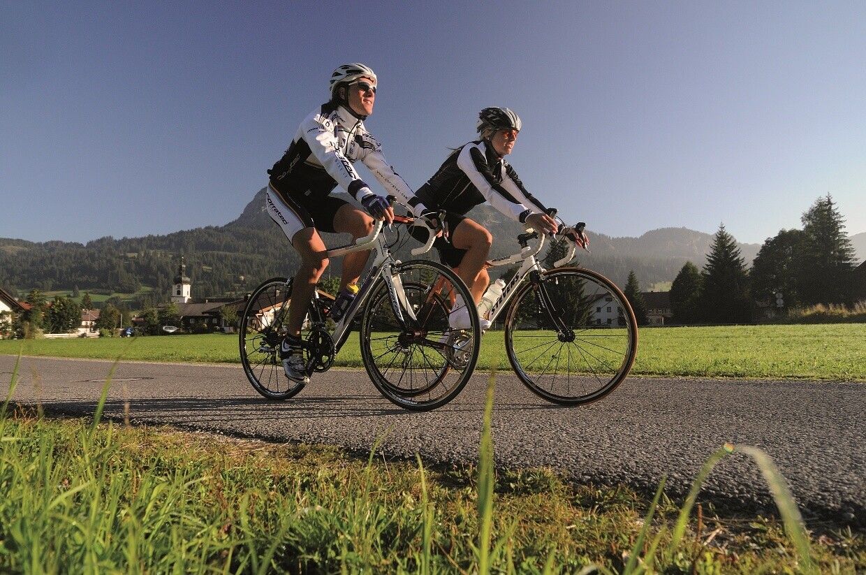
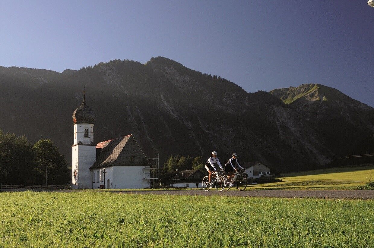
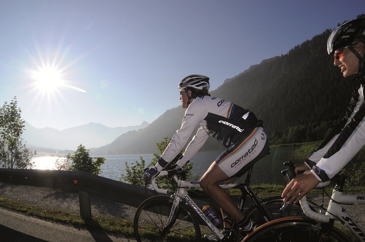
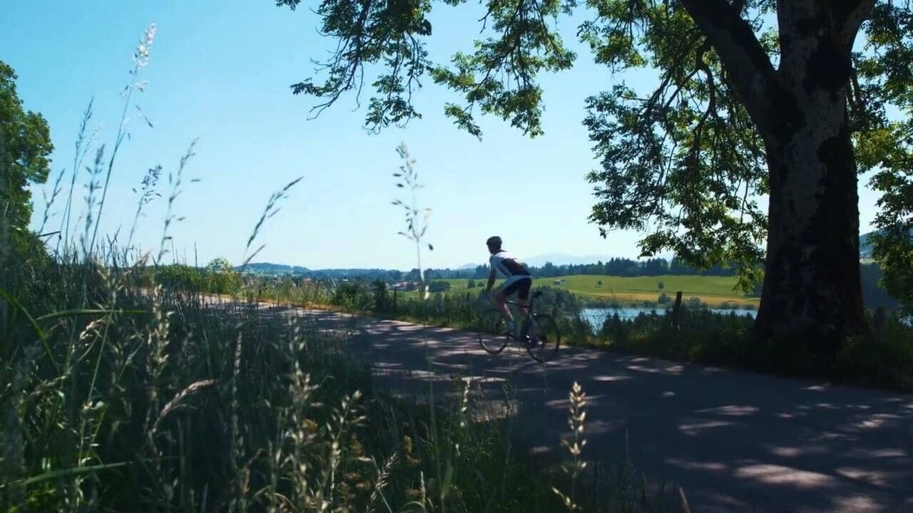
The Tannheimer Tal has long been known among cyclists, as in 2001 the peloton of the Austrian Cycling Tour passed through the valley. In 2005, the cycling pros of the Bavaria Tour came during the opening stage on Tyrolean soil and were rewarded with the mountain classification of the Tannheimer Tal and Jungholz. Even professionals were captivated by the scenic charms of the "probably the most beautiful high valley in Europe." Lush green meadows, Lake Haldensee, and a beautiful mountain backdrop accompanied the cyclists on their competitive kilometers. For this reason, the Tannheimer Tal has also established itself as an ideal region for targeted training or extended routes. "The Tannheimer Tal is an ideal starting point for long road bike routes to the surrounding regions such as Lake Constance or the Arlberg," says Michael Keller, managing director of the Tannheimer Tal Tourism Association and former Austrian national mountain bike coach. Cyclists find not only the ideal starting point but also a wide range of accommodation options in the Tannheimer Tal. From 5-star hotels to private rooms, you can choose your accommodation. After a beautiful ride, let your soul relax and recharge your energy. - The Tannheimer Tal
Directions:The traffic regulations apply. General valid and usual rules of conduct.
It should be noted that road cycling carries an increased risk of accidents and injuries. Despite careful route planning, there is always a basic risk. Preparing for routes through endurance sport, appropriate training and further education, as well as personal caution, reduces the risk of accidents and hazards.
Equipment:Your personal equipment must be safe, usable, and meet the respective technical standards. Every road cyclist is advised to inform themselves about the planned routes in specialist literature or locally.
Complete road bike equipment is absolutely recommended, even for experienced riders!
