
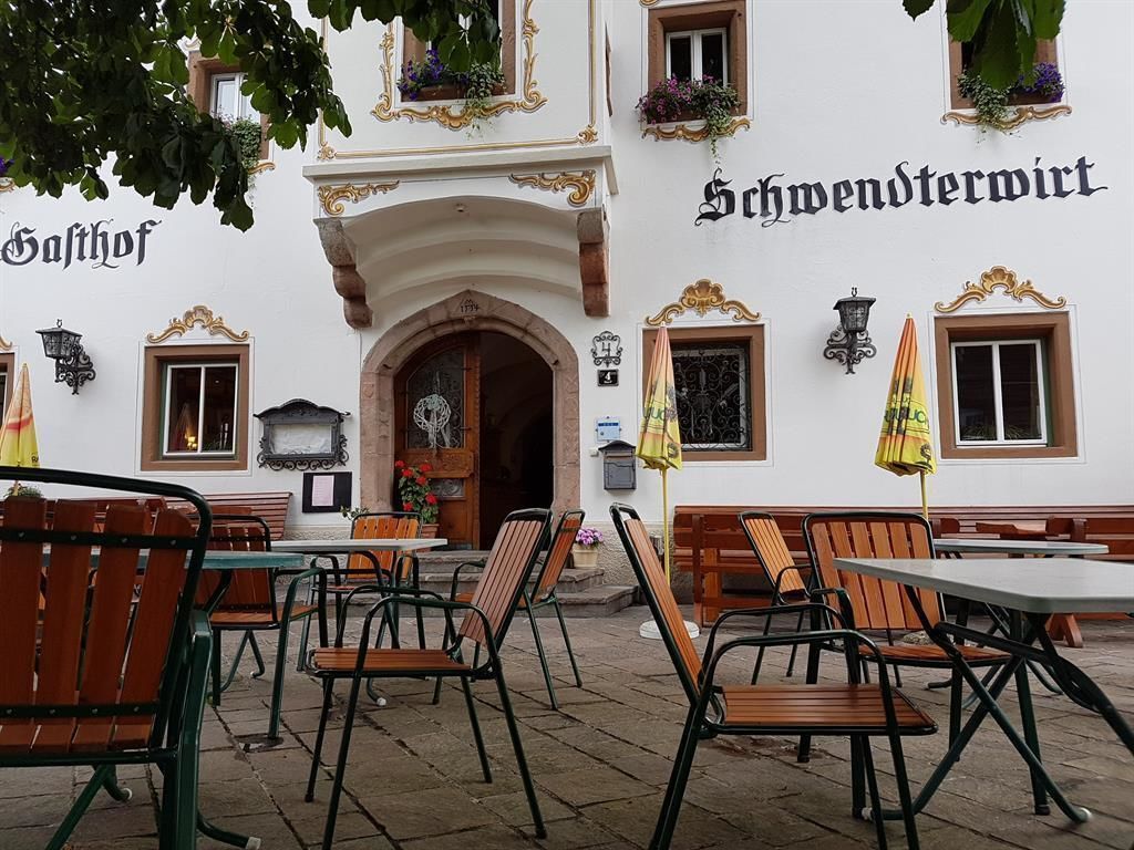
Opening hours:closed
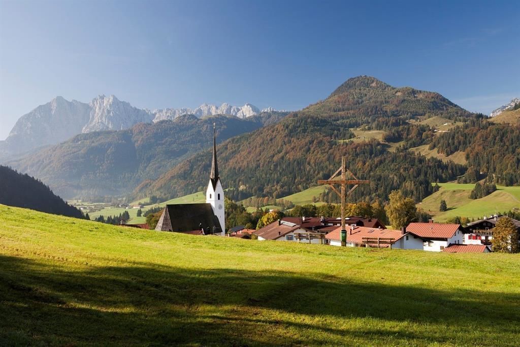
Place:Schwendt
:Restaurant, café
Path No. 61a
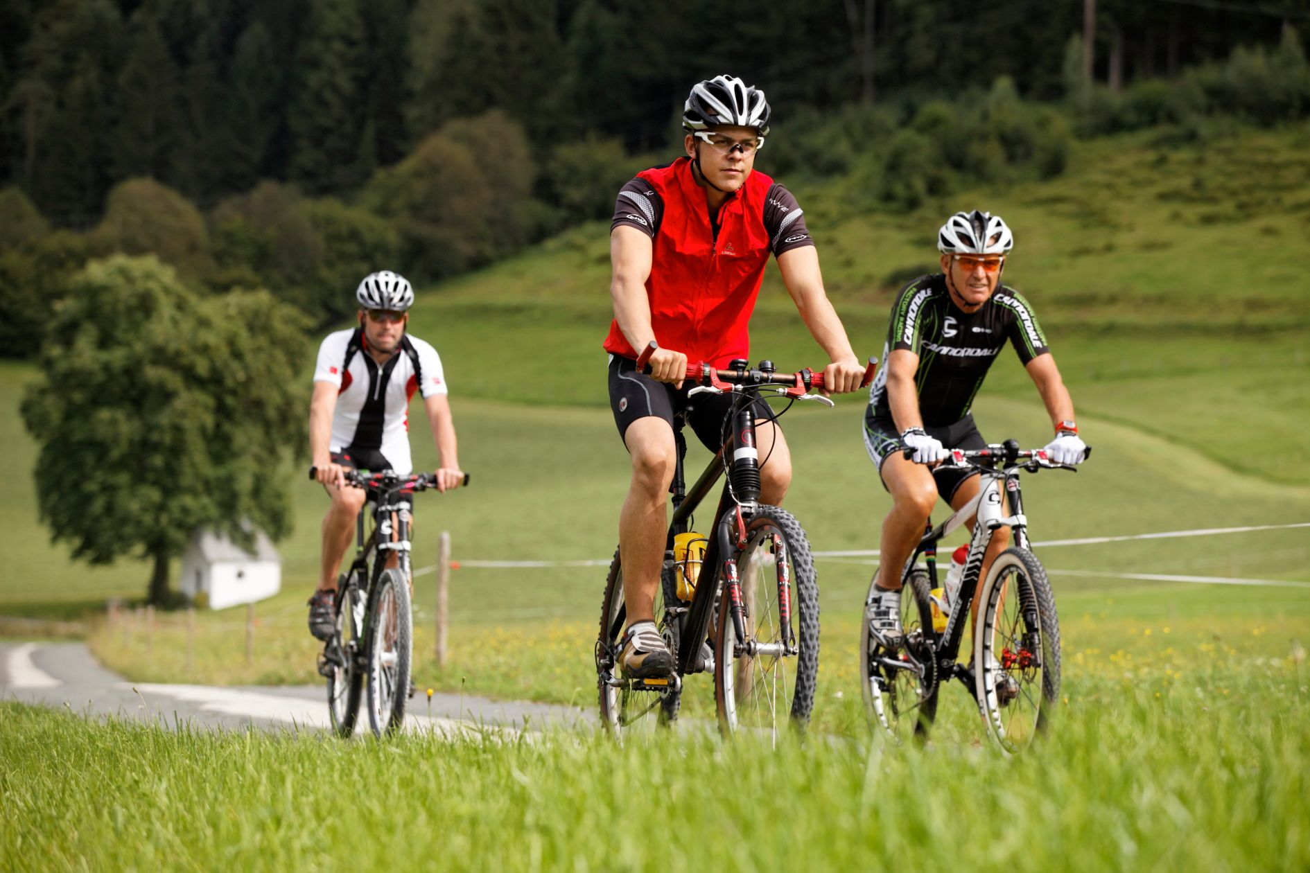
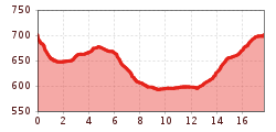
From the village center Schwendt in the direction of St. Johann, down the slope and in the sharp bend straight ahead in the direction of Mühlau. After the barrier along the Kohlenbach stream to the chapel. There turn right and cross the road, pass the farms Ellmerer, Mitterstätt to the Bachangerhof. Here turn right over the golf course to the Brennerwirt, turn left and follow Erlaustraße to the center of the village. At the municipal office turn right into the Hüttfeldstraße, cross the bridge, pass the Hüttwirt in the direction of the campsite. Along the forest via Kranebittau towards Lucknerhof. Pass the inn, after about 500 m turn left and drive through Unterhochstätthof to the main road, here turn left back to the village center.
Bicycles are not allowed on public transport. Bicycles are allowed on buses with bicycle trailers.
Parking lot in the center of Schwendt.


